 Hiking
 Login
Login More
More EN
EN Premium
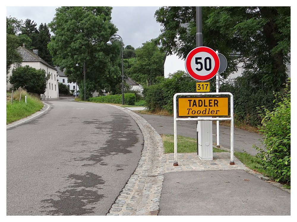
Auto-pedestrian Tadler
automatic translation
4.6 km • Esch-sur-Sûre
70 0 0/5

 Addresse starting point (approximate)
Haaptstrooss 21, 9181 Esch-sur-Sûre, LU
 signage
The route is fully signposted with thematic signs (no nodes).
 Description
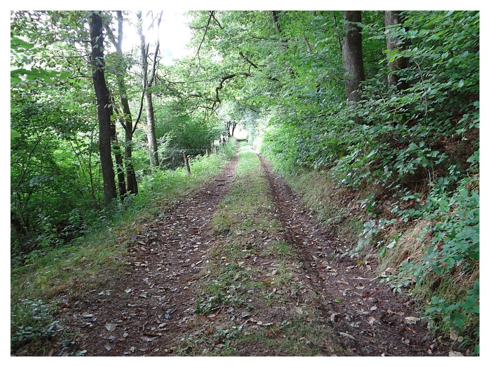
Markings in both directions, blue diamond on white background.
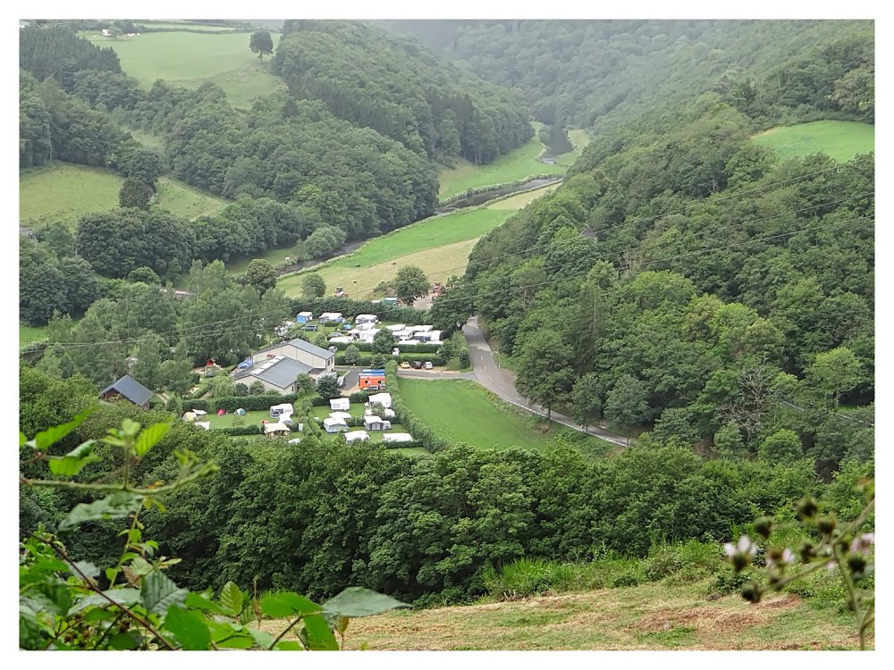
You can park at the cemetery of 'Tadler'. 'Tadler' is a small village located in the heart of a beautiful natural landscape. The walk is mostly through the forest.
Almost 5 kilometers long and with a steep descent just before the finish: that's how one could summarize the Auto-Pédestre Tadler.
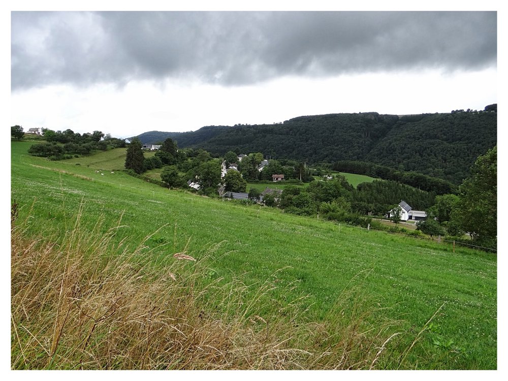
The village of Tadler lies directly on the Sûre river, which meanders idyllically through the region. The Auto-Pédestre walking route takes you south, over a paved road into the forest.
Here, in the Roude forest, you head to the Toodlerbach, which you cross. We then continue always northward, to the entrance of Ringel, which has not even 50 inhabitants. Here, the walking path turns back and brings you to the Sûre, past the hamlet of Todlermillen, to return to your starting point.
More photos: https://photos.app.goo.gl/wiPaWiMYmenZg9Md9
Happy hiking,
Eddy, Rita and Prinske
automatic translation


 Upgrade to Premium Plus
