Loading...

Provincial Green Domain Hertberg

automatic translation

11.8 km • Herselt

1771 0 0/5

11.8 km 0.0 km 0.0 km
10 km
© OpenStreetMap contributors, Tracestrack

route offered by

Eddy & Rita

Icon starting point Addresse starting point (approximate)

Diestsebaan 36, 2230 Herselt, BE

Icon type signage of route signage

The route is fully signposted with nodes.

101.4 m 109.3 m 45.8 m 15.2 m These values indicate respectively the number of meters to rise, the highest and the lowest point in meters.
Atmosphere image 1 of route Provincial Green Domain Hertberg Atmosphere image 2 of route Provincial Green Domain Hertberg Atmosphere image 3 of route Provincial Green Domain Hertberg
© Eddy & Rita

Icon description route Description

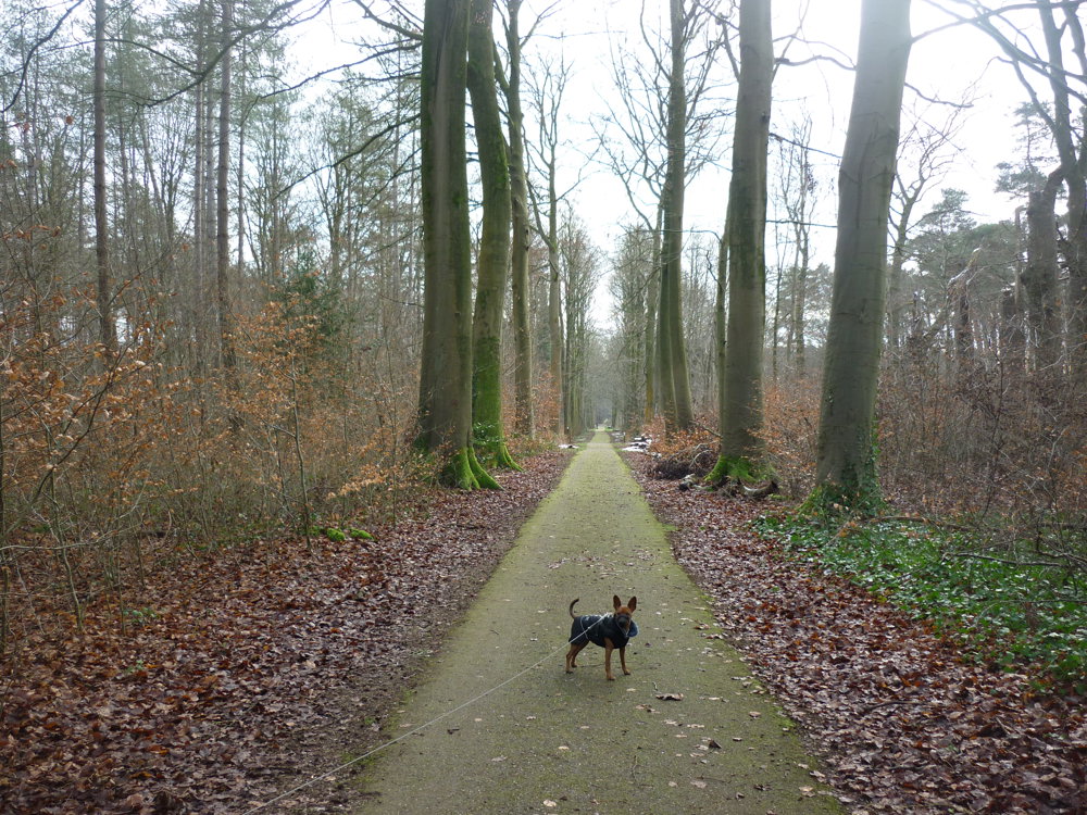
We walked this route on 01/14/2025

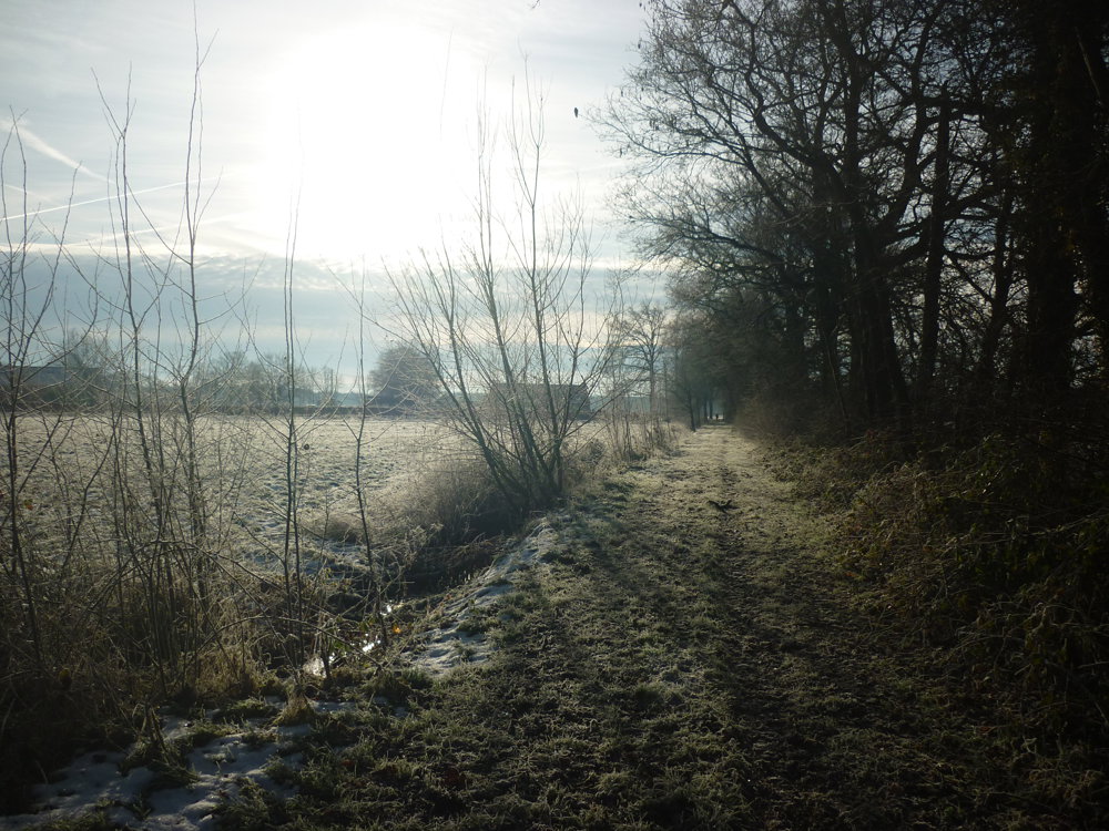
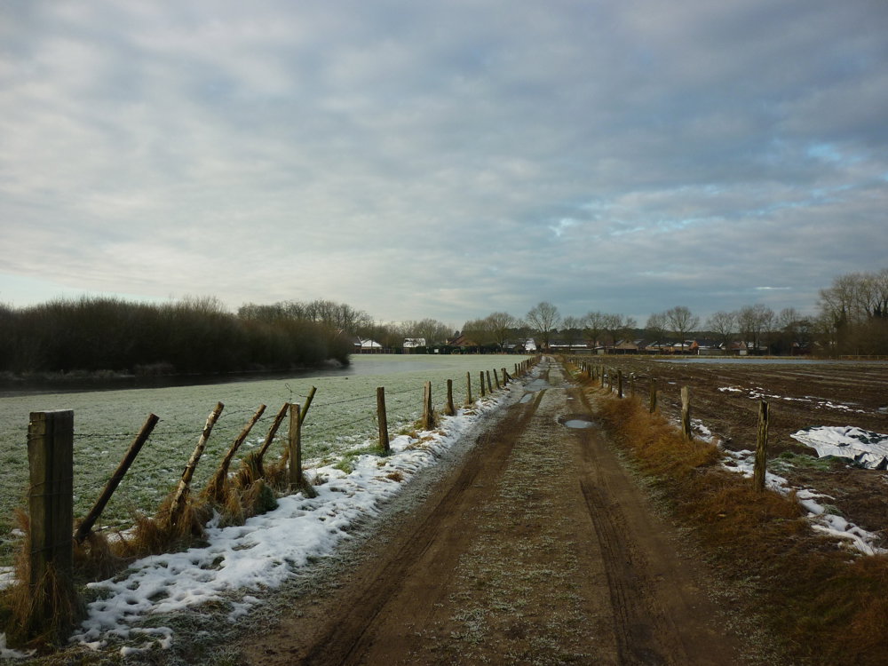
The Provincial Green Domain Hertberg is an expansive natural area where the provinces of Antwerp, Flemish Brabant, and Limburg meet. This domain not only offers pleasure and relaxation for visitors, but also a tranquil home for animals such as foxes, deer, martens, and hawks. You will also find a variety of plants, including Corsican and Scots pine, rowan, alder buckthorn, blueberry, and wild honeysuckle.

During this walk, you pass by various information panels with poems by the writer Willem Elsschot.

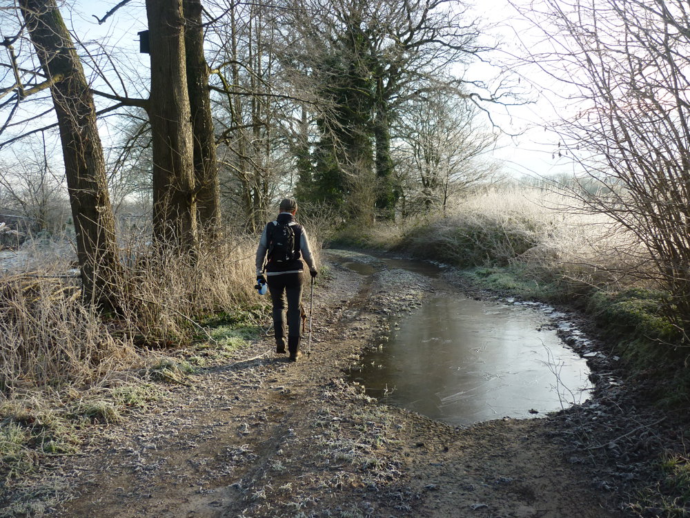
Parking is available at the spacious parking lot of the domain near KP 38.

We were lucky it had frozen well. Many of the paths suffered from too much water. On some, we had to make a detour through fields and woods to continue the walk. In wet weather, waterproof footwear is not a luxury.

More photos: https://photos.app.goo.gl/2nUTBXhfw2nenasV6

Happy hiking,

Eddy, Rita, and Prinske

automatic translation

Icon nodes to follow nodes to follow

Image node 38
0 km
Image node 39
1.1 km
Image node 167
2.4 km
Image node 166
3.1 km
Image node 121
3.7 km
Image node 120
4 km
Image node 133
5.1 km
Image node 146
6 km
Image node 142
6.8 km
Image node 123
7.2 km
Image node 122
7.6 km
Image node 103
8.2 km
Image node 114
8.4 km
Image node 31
9.6 km
Image node 26
10.2 km
Image node 32
10.5 km
Image node 386
10.7 km
Image node 418
11 km
Image node 35
11.1 km
Image node 119
11.4 km
Image node 37
11.5 km
Image node 38
11.8 km
This route does not have any reviews yet. Be the first!
Rate route!

Which POI do you want to show on the map?

Experimental hiking network
Unsigned icon

The route you have chosen runs (partly) along an experimental virtual hiking node network (the blue-coloured nodes and sections on the map).

You must be logged in to plan routes here.

Experimental hiking network
Unsigned icon

The route you have chosen runs (partly) along an experimental virtual hiking node network (the blue-coloured nodes and sections on the map).

These routes are not controlled in the field. Before you start hiking here, take a minute to read what an experimental hiking node network is and what rules you should follow when hiking here.

By clicking 'Accept all cookies,' you agree to the use of cookies for an enhanced user experience, website traffic analysis, and personalized advertisements. Cookie policy