Loading...

Auto-pedestrian Schimpach

automatic translation

7 km • Wincrange

120 0 0/5

7 km 0.0 km 0.0 km
10 km
© OpenStreetMap contributors, Tracestrack

route offered by

Eddy & Rita

Icon starting point Addresse starting point (approximate)

Maison 99, 9684 Wincrange, LU

Icon type signage of route signage

The route is not signposted. Use a GPS device or our app to follow the route through the virtual nodes.

133.2 m 134.3 m 492.8 m 385.1 m These values indicate respectively the number of meters to rise, the highest and the lowest point in meters.
Atmosphere image 1 of route Auto-pedestrian Schimpach Atmosphere image 2 of route Auto-pedestrian Schimpach Atmosphere image 3 of route Auto-pedestrian Schimpach
© Eddy & Rita

Icon description route Description

Markings in both directions, blue diamond on white background.

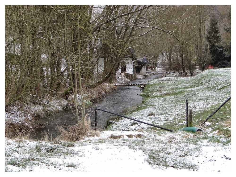
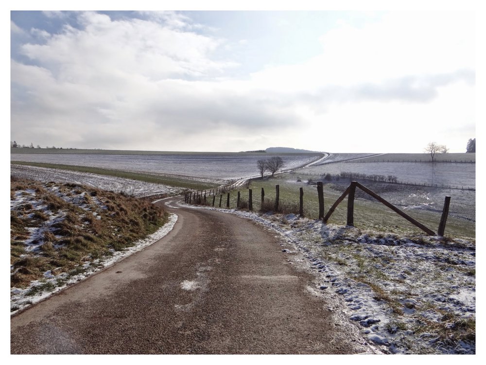
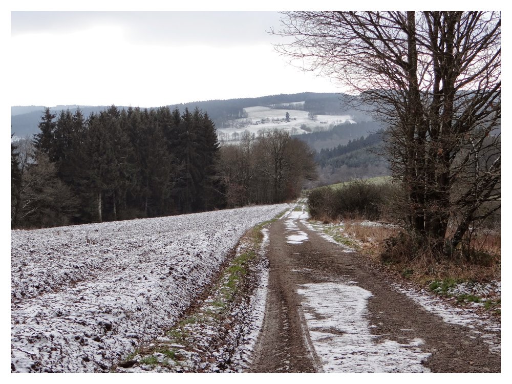
‘Schimpach’ is located in the valley of the ‘Wemperbaach’. The walk goes along the surrounding heights, crosses the fields to then descend into the wooded valley of the ‘Sunsbech’, which is followed up to the CR 329.

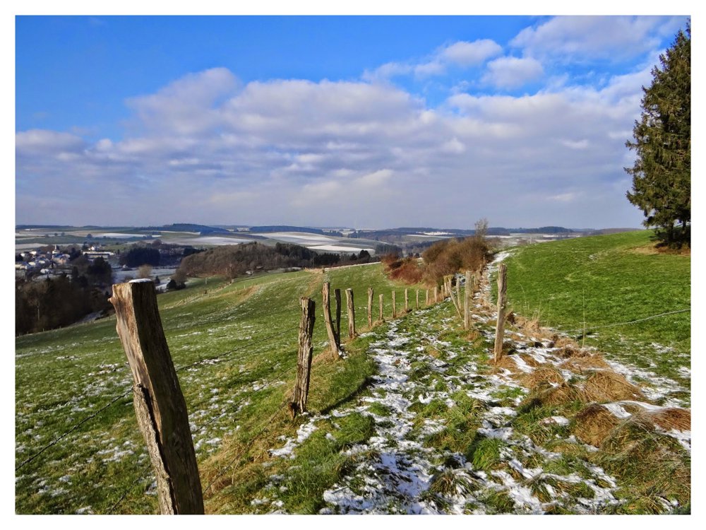
Along the wooded slopes of the ‘Wiltz’, it rises to an open plain where there is a beautiful view of 'Schimpach' and 'Niederwampach'. It descends slightly along the flank of the ‘Wemperbaach’ to return to the starting point.

From the heights, the hiker has stunning views of the various valleys and the surrounding villages and hills.

More photos: https://photos.app.goo.gl/gPL44qXaK1fxB67Z8

Happy hiking,
Eddy, Rita and Prinske

automatic translation

Icon nodes to follow nodes to follow

Image node 16
0 km
Image node 12
1.9 km
Image node 6
2.1 km
Image node 22
2.8 km
Image node 18
3.7 km
Image node 21
4.2 km
Image node 19
6.7 km
Image node 16
7 km
This route does not have any reviews yet. Be the first!
Rate route!

Which POI do you want to show on the map?

Experimental hiking network
Unsigned icon

The route you have chosen runs (partly) along an experimental virtual hiking node network (the blue-coloured nodes and sections on the map).

You must be logged in to plan routes here.

Experimental hiking network
Unsigned icon

The route you have chosen runs (partly) along an experimental virtual hiking node network (the blue-coloured nodes and sections on the map).

These routes are not controlled in the field. Before you start hiking here, take a minute to read what an experimental hiking node network is and what rules you should follow when hiking here.

By clicking 'Accept all cookies,' you agree to the use of cookies for an enhanced user experience, website traffic analysis, and personalized advertisements. Cookie policy