Loading...

Auto-pedestrian Derenbach

automatic translation

12.2 km • Wincrange

100 0 0/5

12.2 km 0.0 km 0.0 km
10 km
© OpenStreetMap contributors, Tracestrack

route offered by

Eddy & Rita

Icon starting point Addresse starting point (approximate)

Am Dueref 83, 9645 Wincrange, LU

Icon type signage of route signage

The route is fully signposted with thematic signs (no nodes).

255.3 m 226.1 m 540.9 m 418.8 m These values indicate respectively the number of meters to rise, the highest and the lowest point in meters.
Atmosphere image 1 of route Auto-pedestrian Derenbach Atmosphere image 2 of route Auto-pedestrian Derenbach Atmosphere image 3 of route Auto-pedestrian Derenbach
© Eddy & Rita

Icon description route Description

Markings in both directions, blue diamond on a white background.

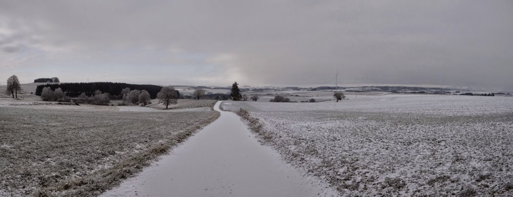
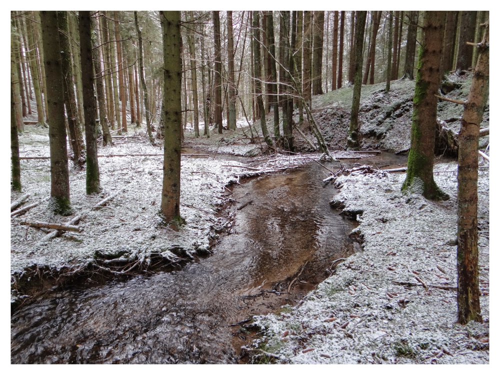
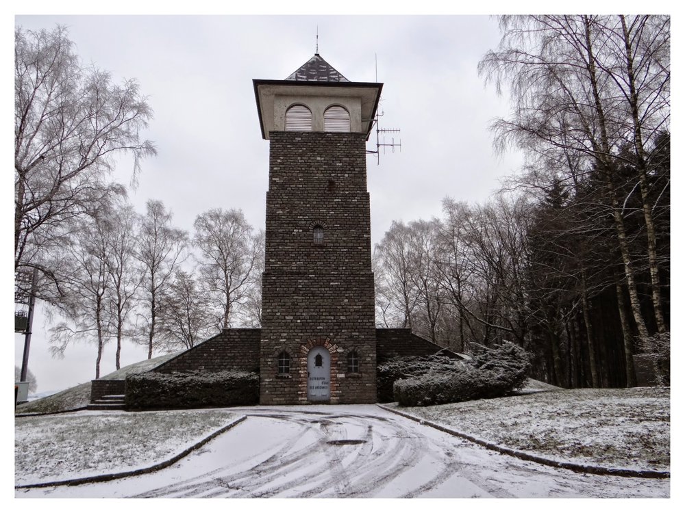
This varied walk starts at the church of Derenbach. After a short climb, we follow the CR 309 towards the N12. After crossing the N12, we descend to Oberwampach and climb back up to the CR 309. We follow a forest edge, make a sharp left turn, and enter a forest. We continue to climb until we reach a country road, which we follow to the CR 329b and the water tower. At the water tower, we descend into the valley of the Saitertbaach and climb back up to the N12. We descend into the valley of the Kirrelbaach and follow it until we return to Derenbach.

This walk offers beautiful views, quiet roads, muddy forest paths, and many altitude differences. A must for the adventurous hiker!

More photos: https://photos.app.goo.gl/Kk8fk8r7pEFRqqJZA

Happy hiking,
Eddy, Rita, and Prinske

automatic translation

Icon nodes to follow nodes to follow

Icon start route
0 km
Icon deviation route
0.1 km
Image node 9
0.3 km
Image node 5
2 km
Image node 13
3 km
Image node 17
3.6 km
Image node 15
5.9 km
Image node TP
6.3 km
Icon deviation route
7 km
Icon deviation route
8.4 km
Icon deviation route
9.7 km
Icon deviation route
10.4 km
Image node 37
10.5 km
Image node 38
10.5 km
Image node 39
12.1 km
Icon stop route
12.2 km
This route does not have any reviews yet. Be the first!
Rate route!

Which POI do you want to show on the map?

Experimental hiking network
Unsigned icon

The route you have chosen runs (partly) along an experimental virtual hiking node network (the blue-coloured nodes and sections on the map).

You must be logged in to plan routes here.

Experimental hiking network
Unsigned icon

The route you have chosen runs (partly) along an experimental virtual hiking node network (the blue-coloured nodes and sections on the map).

These routes are not controlled in the field. Before you start hiking here, take a minute to read what an experimental hiking node network is and what rules you should follow when hiking here.

By clicking 'Accept all cookies,' you agree to the use of cookies for an enhanced user experience, website traffic analysis, and personalized advertisements. Cookie policy