 Hiking
 Login
Login More
More EN
EN Premium
Doenange: WN 4 and Wëntger Border Tour
automatic translation
9.1 km • Wincrange
120 0 0/5

 Addresse starting point (approximate)
Am Briëll 2, 9745 Wincrange, LU
 signage
The route is partially signposted with thematic signs (no nodes). Use a GPS device or our app to follow the route.
 Description
The WN4 loop has an approach route of almost 400 m. That's why we adjusted the route a bit.
WN4 is very well signposted in both directions. But we departed via the Hüllegaass, a narrow street that leads to the main street.
After crossing the main street, we picked up the Wëntger Gënzentour, a cycling route, in the Juddegaass. You follow this paved street for a while till you encounter the WN4 sign. There, you turn right into the field. Not left, for then you would head back to Doennange.
After a stretch of open field, you enter the forest, where you descend along the valley of the Eeschbech into the valley of the Kirel, a slightly wider brook. This is followed for a while to return via paved roads through the fields to Deiffelt and then further back to the starting point.
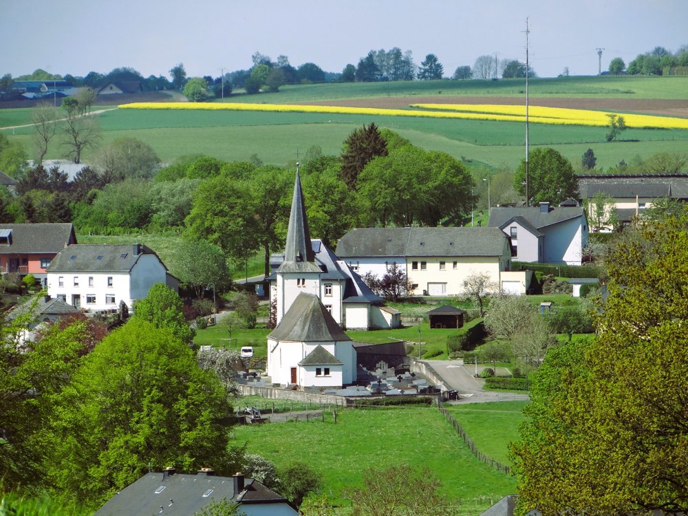
The beautiful church of Doennange is definitely worth a visit.
More photos: https://photos.app.goo.gl/yF4yf6SHEKUPYVLE6
Enjoy this walk,
Eddy, Rita and Prinske
automatic translation


 Upgrade to Premium Plus
