Westmalle Forests and Abbey

automatic translation

10.6 km • Malle

3430 0 0/5

10.6 km 0.0 km 0.0 km
10 km
© OpenStreetMap contributors, Tracestrack

route offered by

Peter D'hont

Icon starting point Addresse starting point (approximate)

Antwerpsesteenweg 496, 2390 Malle, BE

Icon type signage of route signage

The route is not signposted. Use a GPS device or our app to follow the route.

101.1 m 119.9 m 43.7 m 19.4 m These values indicate respectively the number of meters to rise, the highest and the lowest point in meters.
Atmosphere image 1 of route Westmalle Forests and Abbey Atmosphere image 2 of route Westmalle Forests and Abbey Atmosphere image 3 of route Westmalle Forests and Abbey
© Peter D'hont

Icon description route Description

Departure: at the parking lot of café Trappisten Westmalle, Antwerpsesteenweg 487, 2390 Malle

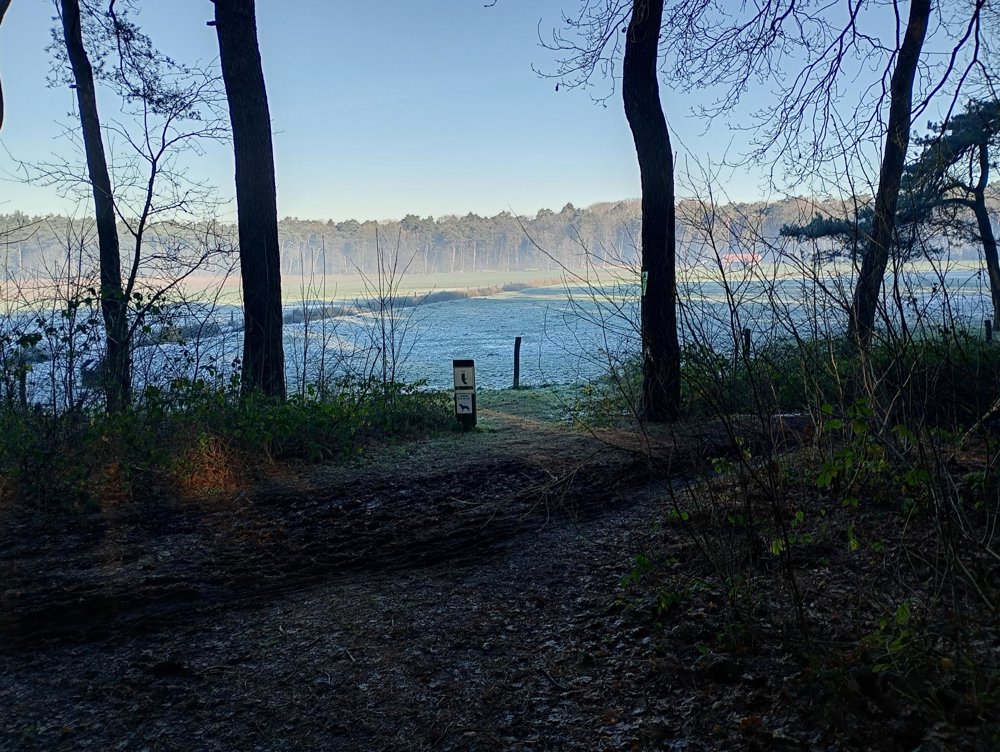
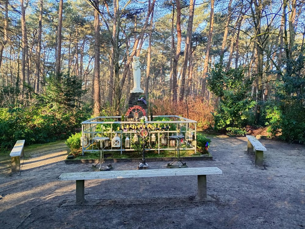
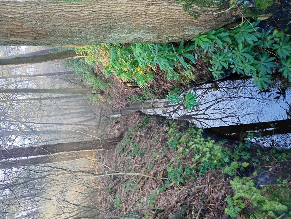
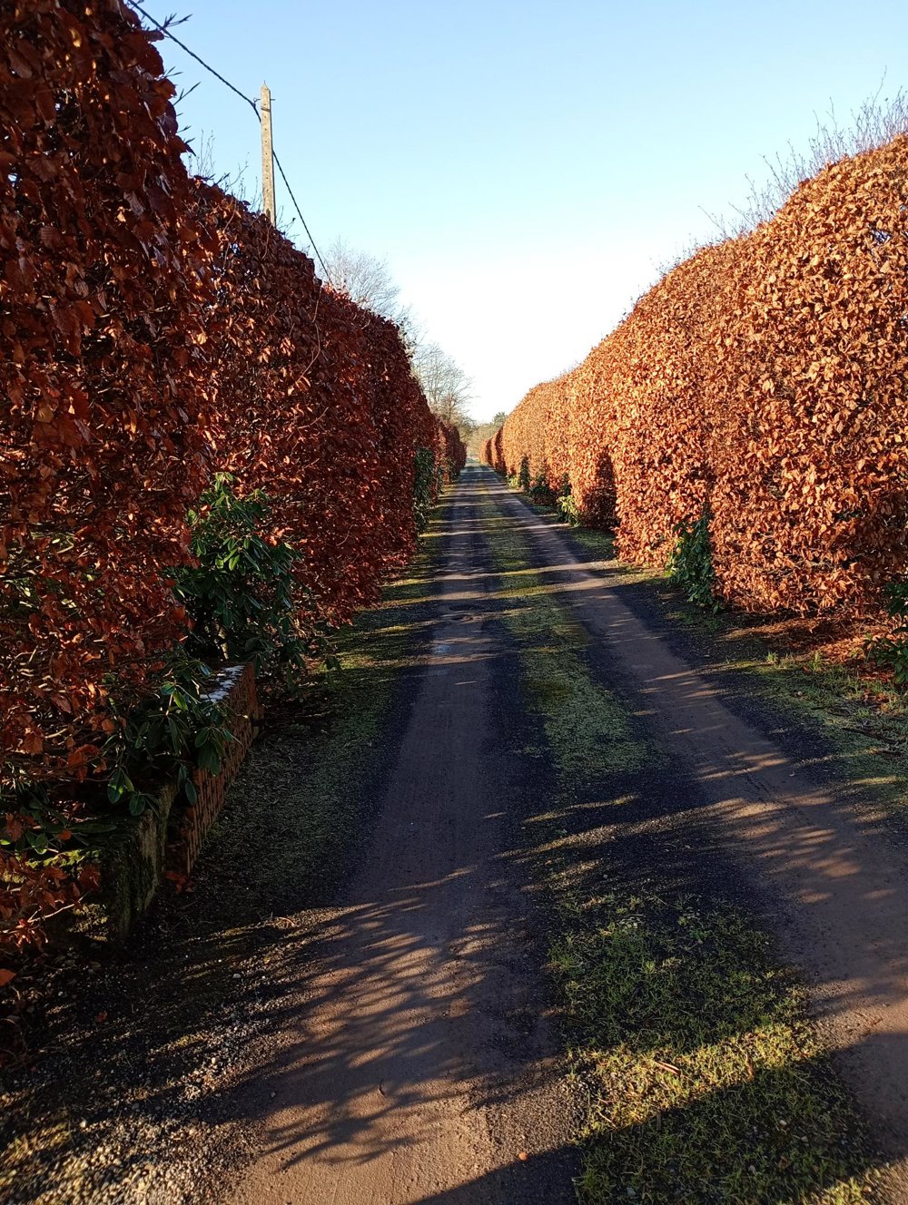
We walk around the abbey of Westmalle, along Hegte Heide, Klokkeven, and Westmalse Heide. Many forests are interspersed with fields and ditches. The forests are passable, but muddy during rainy periods.

No sanitary stop on the way due to a lack of horeca.

automatic translation

Icon nodes to follow nodes to follow

Image node 99
0 km
Image node 1
0.1 km
Image node 58
0.8 km
Image node 59
1.3 km
Image node 61
1.6 km
Image node 60
2.6 km
Image node TP
3.2 km
Icon deviation route
3.7 km
Icon deviation route
5.1 km
Icon deviation route
5.7 km
Icon deviation route
6.2 km
Icon deviation route
7.4 km
Icon deviation route
8.4 km
Icon deviation route
8.6 km
Icon deviation route
9.3 km
Icon deviation route
10.1 km
Icon stop route
10.6 km
This route does not have any reviews yet. Be the first!
Rate route!

Which POI do you want to show on the map?

Experimental hiking network
Unsigned icon

The route you have chosen runs (partly) along an experimental virtual hiking node network (the blue-coloured nodes and sections on the map).

You must be logged in to plan routes here.

Experimental hiking network
Unsigned icon

The route you have chosen runs (partly) along an experimental virtual hiking node network (the blue-coloured nodes and sections on the map).

These routes are not controlled in the field. Before you start hiking here, take a minute to read what an experimental hiking node network is and what rules you should follow when hiking here.

By clicking 'Accept all cookies,' you agree to the use of cookies for an enhanced user experience, website traffic analysis, and personalized advertisements. Cookie policy