 Hiking
 Login
Login More
More EN
EN Premium
Auto-pedestrian Route Weiswampach-Leithum
automatic translation
8.5 km • Weiswampach
530 0 0/5

 Addresse starting point (approximate)
Gruuss-Strooss 41, 9991 Weiswampach, LU
 signage
The route is fully signposted with thematic signs (no nodes).
 Description
Marking in both directions, blue diamond on a white background.
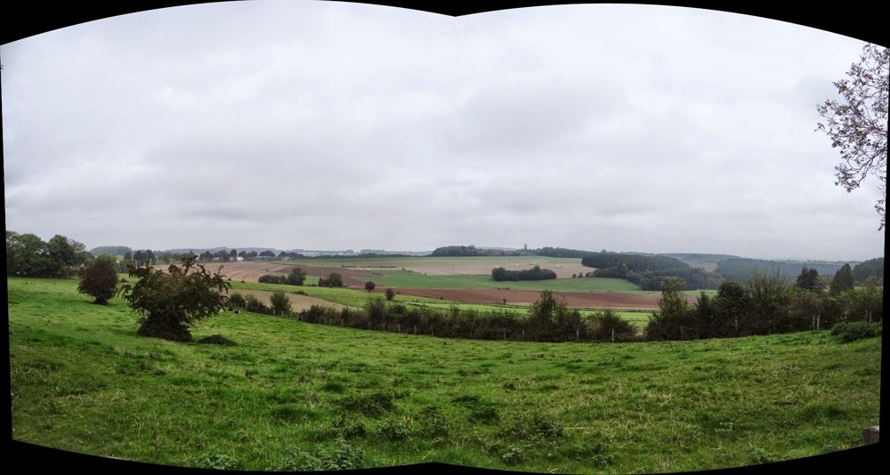
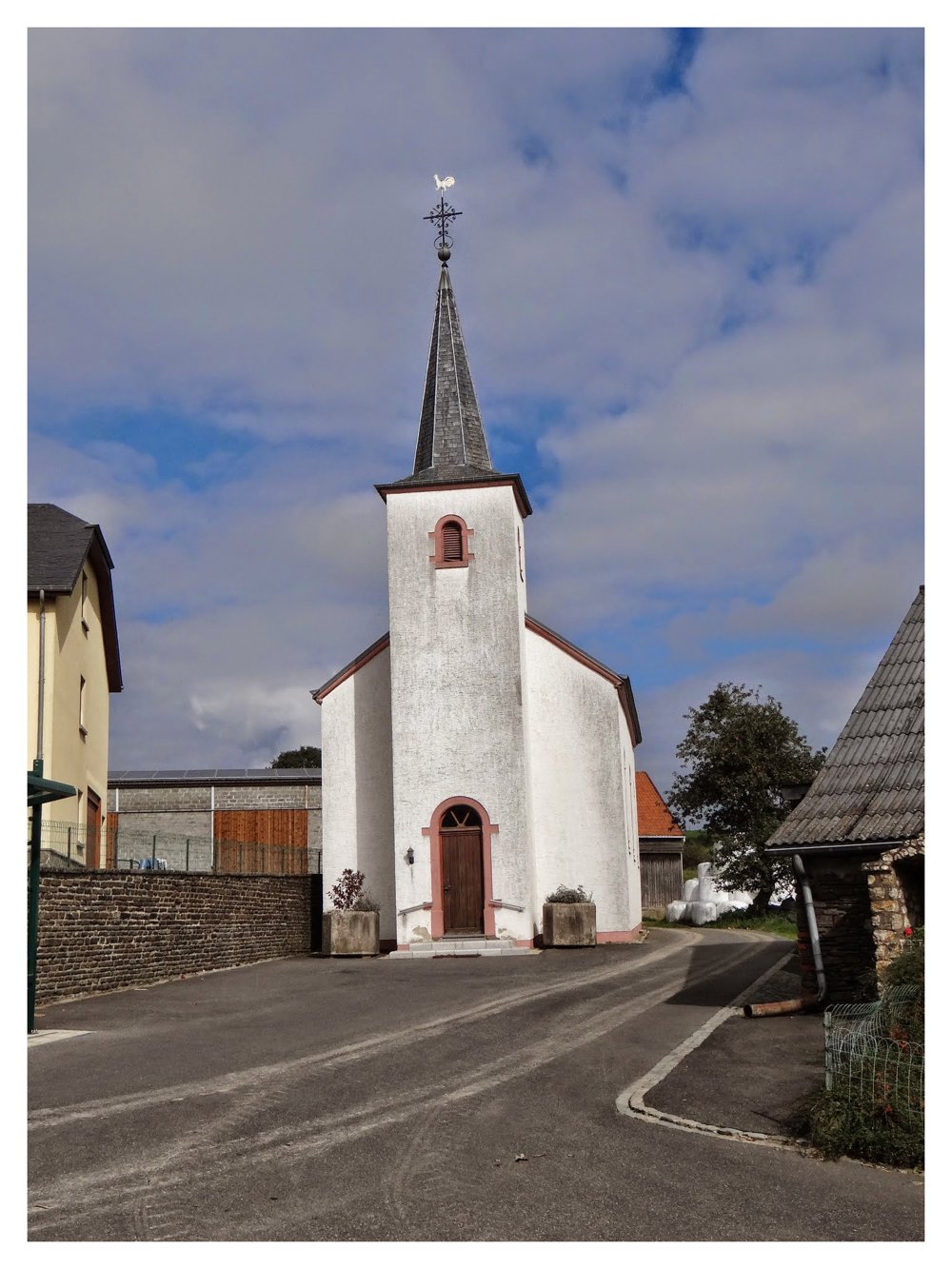
This hiking loop is located in the far north of Luxembourg, near the Belgian border. The route starts at the community center in the village center and goes downhill in a northeasterly direction until it reaches the Schibech, which you cross.
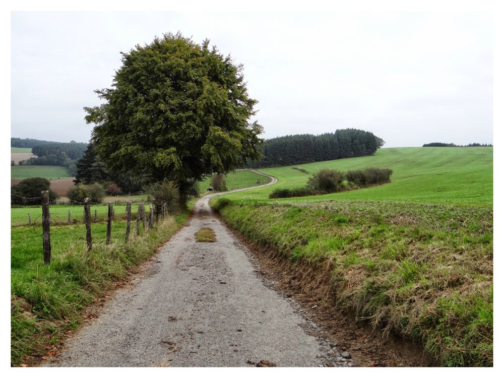
Then the route goes uphill to the quiet Leithum, a town with 125 inhabitants near the Belgian border. The path follows a small stream until it meets the Schibech. Along the Schibech, you walk through green meadows and cross the brook. This is the lowest point of the hike, ideal for catching your breath.
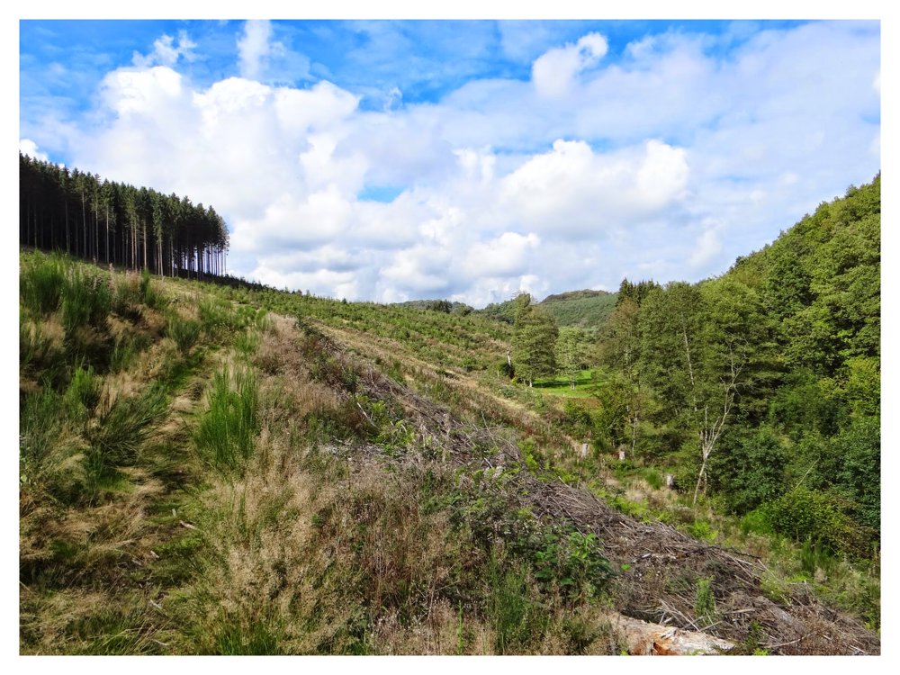
After that, it goes uphill, through a dense forest, back to Weiswampach.
More photos: https://photos.app.goo.gl/1AjR1G1zt8UHgN6A6
Happy hiking,
Eddy, Rita, and Prinske
automatic translation
 nodes to follow
0 km

0.8 km
2.4 km
3.4 km
3.8 km
4.5 km
4.7 km
6 km
6.6 km

8.5 km


 Upgrade to Premium Plus
