Loading...

Weiswampach-Lieler

automatic translation

13.3 km • Clervaux

250 0 0/5

13.3 km 0.0 km 0.0 km
10 km
© OpenStreetMap contributors, Tracestrack

route offered by

Eddy & Rita

Icon starting point Addresse starting point (approximate)

Hauptstrooss 48A, 9972 Clervaux, LU

Icon type signage of route signage

The route is partially signposted with thematic signs (no nodes). Use a GPS device or our app to follow the route.

247.8 m 202.7 m 515.1 m 317.1 m These values indicate respectively the number of meters to rise, the highest and the lowest point in meters.
Atmosphere image 1 of route Weiswampach-Lieler Atmosphere image 2 of route Weiswampach-Lieler Atmosphere image 3 of route Weiswampach-Lieler
© Eddy & Rita

Icon description route Description

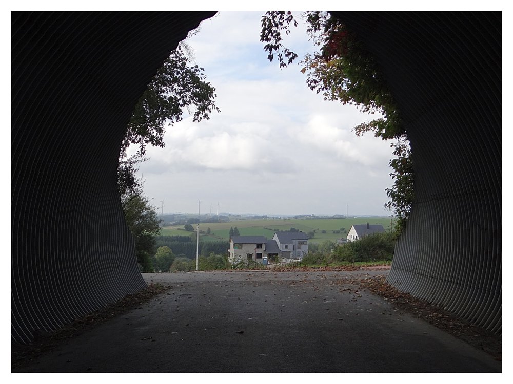
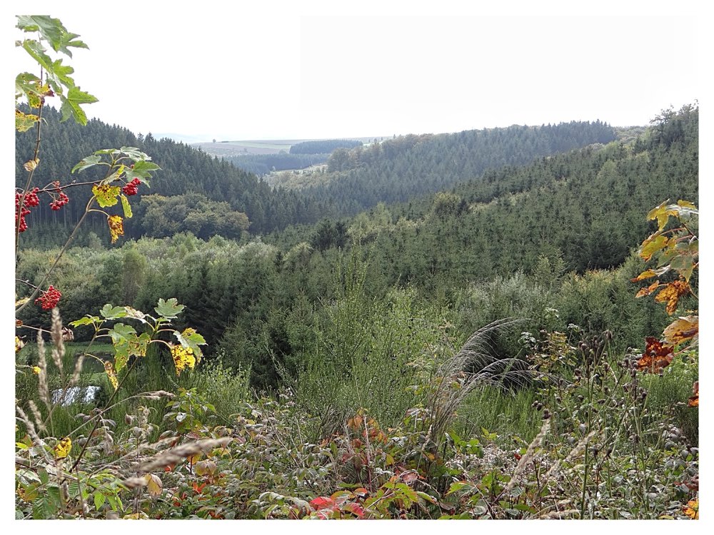
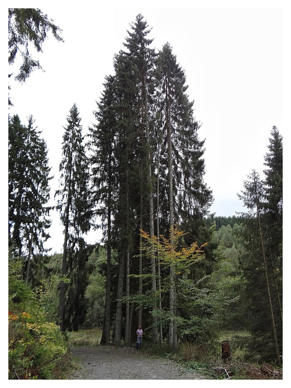
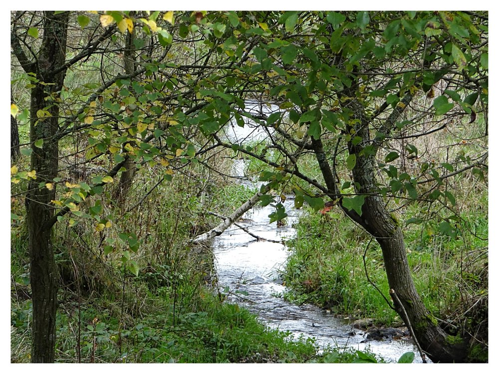
Combination Lieler Pedestrian Route, local WWII route and unmarked paths

Beautiful, varied, sporty walk with many paved but car-free roads. You can start from three different parking locations.

During this walk, we do have to tackle a few steep inclines. It also passes by the tripoint of Belgium, Luxembourg, Germany, which is also a starting point.

More photos: https://photos.app.goo.gl/pjPgZEoyDBkLvzmSA

Happy walking,
Eddy, Rita, and Prinske

automatic translation

Icon nodes to follow nodes to follow

Image node 25
0 km
Image node TP
1.7 km
Image node 33
3.3 km
Image node TP
4.1 km
Icon deviation route
5.8 km
Icon deviation route
6.3 km
Icon deviation route
6.9 km
Icon deviation route
7.9 km
Image node 27
8.5 km
Image node 19
8.7 km
Icon deviation route
9.1 km
Icon deviation route
9.4 km
Icon deviation route
9.7 km
Image node TP
10.2 km
Image node TP
12.7 km
Image node TP
13.1 km
Image node 25
13.3 km
This route does not have any reviews yet. Be the first!
Rate route!

Which POI do you want to show on the map?

Experimental hiking network
Unsigned icon

The route you have chosen runs (partly) along an experimental virtual hiking node network (the blue-coloured nodes and sections on the map).

You must be logged in to plan routes here.

Experimental hiking network
Unsigned icon

The route you have chosen runs (partly) along an experimental virtual hiking node network (the blue-coloured nodes and sections on the map).

These routes are not controlled in the field. Before you start hiking here, take a minute to read what an experimental hiking node network is and what rules you should follow when hiking here.

By clicking 'Accept all cookies,' you agree to the use of cookies for an enhanced user experience, website traffic analysis, and personalized advertisements. Cookie policy