 Hiking
 Login
Login More
More EN
EN Premium
Auto-pedestrian Binsfeld
automatic translation
8.7 km • Weiswampach
360 0 0/5

 Addresse starting point (approximate)
Ëlwenterstrooss 10, 9946 Weiswampach, LU
 signage
The route is fully signposted with thematic signs (no nodes).

 Description
Marking in both directions, blue diamond on a white background.
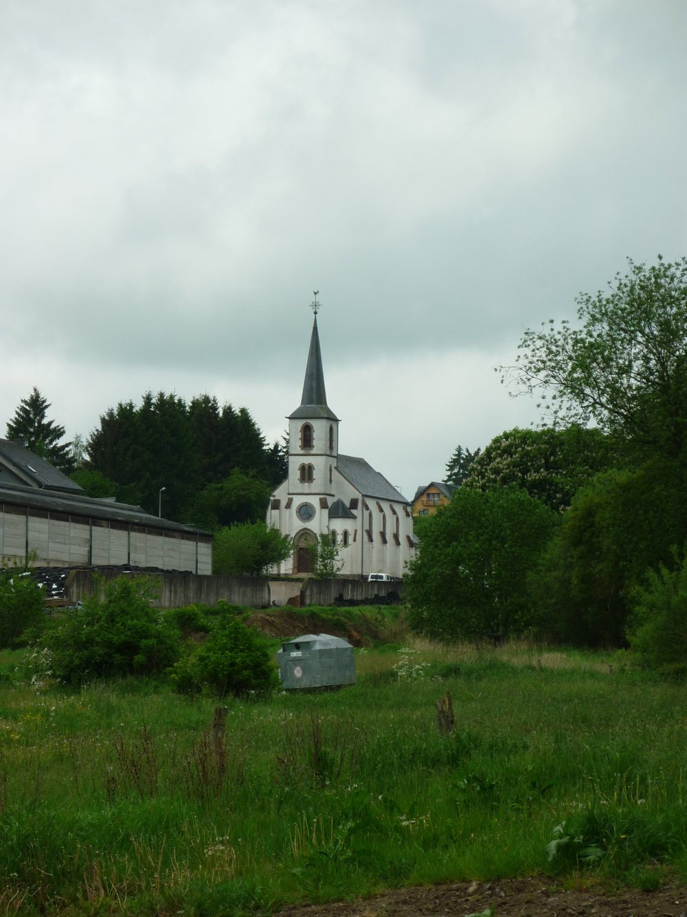
This easy walk starts at the beautiful church in 'Binsfeld'. It first passes by the agricultural museum of 'Binsfeld', then ascends to an altitude of 491 meters, from where one has a beautiful view of the surroundings and the abbey of 'Clervaux'.
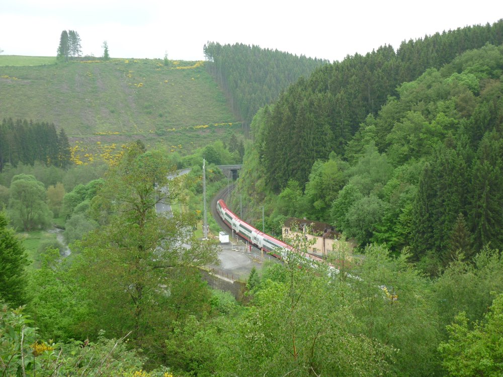
Next, one can descend via a forest path into the valley of the 'Wemperbaach' down to the 'Maulusmillen'. If you wish to come by train, the walk can start here.
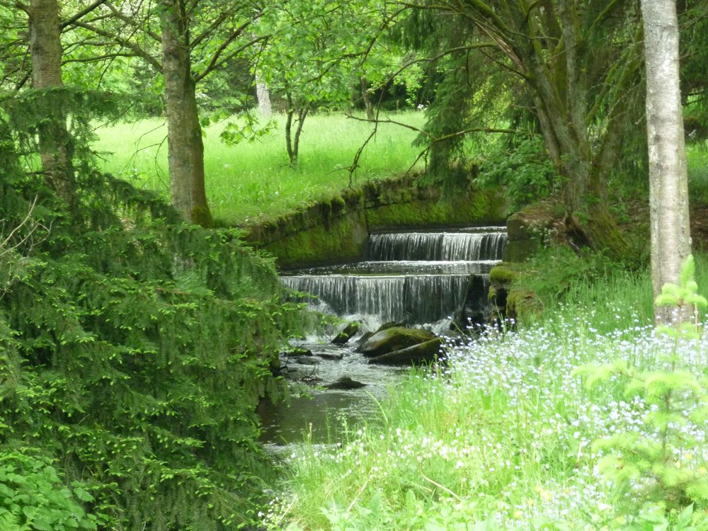
The walk continues along the 'Wemperbaach', passing by two mills ('Kleimillen' and 'Rossmillen').
In 'Binsfeld', you can find several beautiful farms, built in the 17th and 18th centuries. One of them is set up as an agricultural museum. The museum is open from Easter until November 1st, every afternoon from 2 PM to 6 PM.
More photos: https://photos.app.goo.gl/EiMV4syu68bigQBm9
Happy walking,
Eddy, Rita and Prinske
automatic translation


 Upgrade to Premium Plus
