 Hiking
 Login
Login More
More EN
EN Premium
Eselborn-Clervaux
automatic translation
14.3 km • Clervaux
220 0 0/5

 Addresse starting point (approximate)
Rue De l'Abbaye 7, 9748 Clervaux, LU
 signage
The route is not signposted. Use a GPS device or our app to follow the route.
 Description
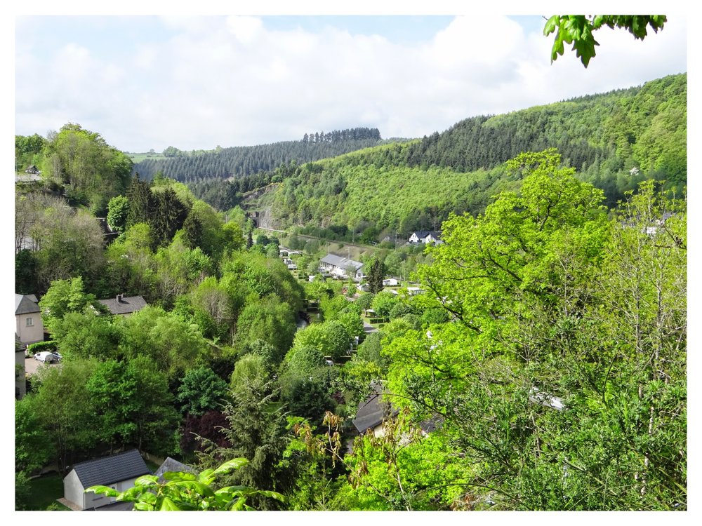
For this walk, we parked the car at the cross 'Jubilaeum AD 2000' in 'Eselborn'. It is a small parking lot that can accommodate about three cars. This point already offers a nice view of the surroundings.
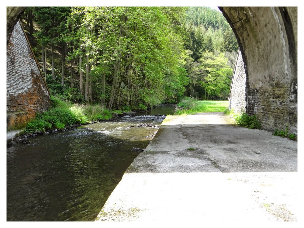
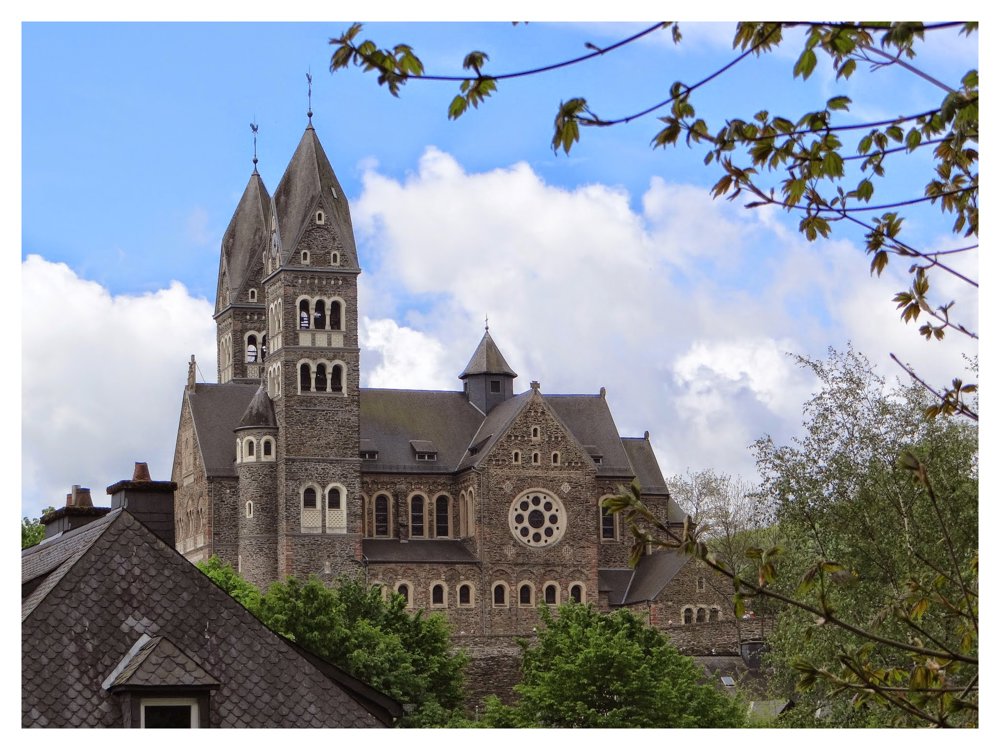
We first begin with a descent to the town of 'Clervaux', which is located in a meander of the 'Clerve' stream. There are beautiful buildings to be seen. Those who wish can combine this walk with a visit to the abbey and/or the castle of 'Clervaux'. The sober interior of the dean's church contrasts with the richly decorated exterior, highly recommended for a visit.
From 'Clervaux', we go through the surrounding woods towards 'Mecher', to return to the starting point in a large loop around the golf course of 'Clervaux'. From the plateaus, one has a good view of the beautiful surroundings. The tower of the abbey is also always in sight.
More photos: https://photos.app.goo.gl/Lz7YifEy5jMgdazL6
Happy hiking,
Eddy, Rita, and Prinske
automatic translation


 Upgrade to Premium Plus
