 Hiking
 Login
Login More
More EN
EN Premium
Wiltz: ruins of the Kaul Sanatorium
automatic translation
13.4 km • Wiltz
160 0 0/5

 Addresse starting point (approximate)
Grand-Rue 2, 9530 Wiltz, LU
 signage
The route is not signposted. Use a GPS device or our app to follow the route.


 Description
The route is approximately 54% paved and starts from the free parking lot at camping Kaul.
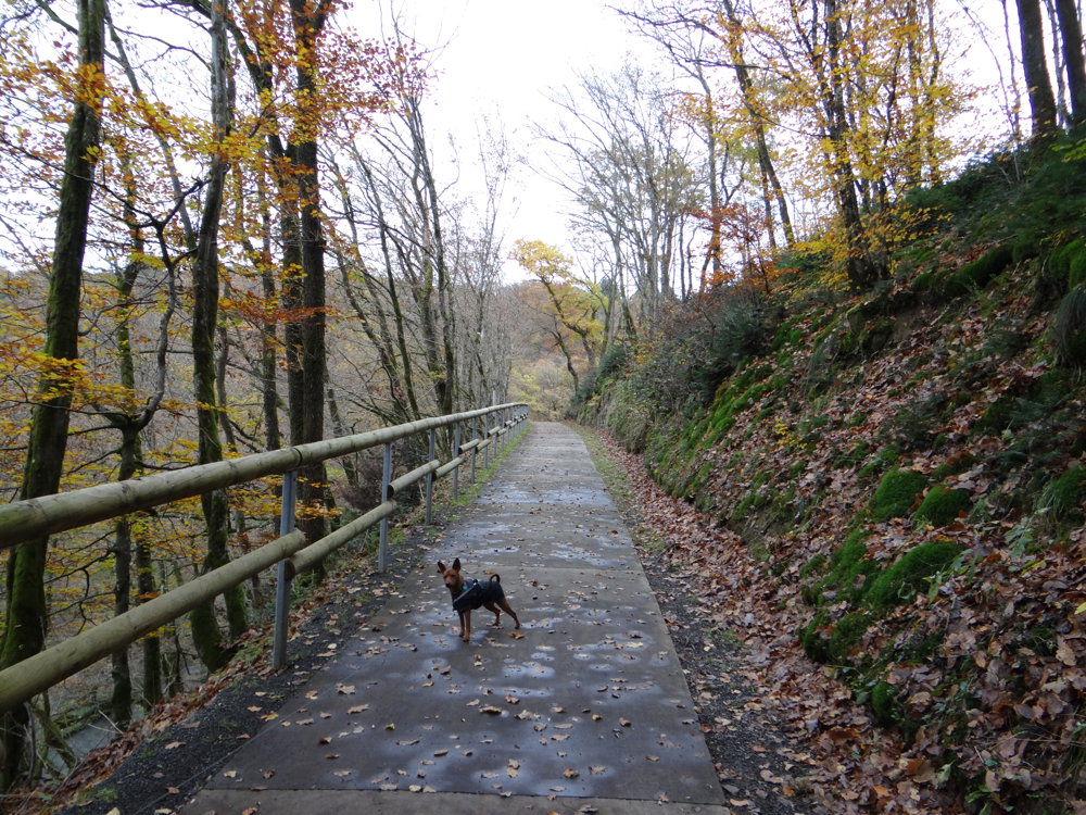
We walked the hike counterclockwise and quickly followed a narrow path along the valley of the Wiltz. Through Weidingen, we continued to follow the Wiltz along the PC20, a paved bike path that runs from Kautenbach to Benonchamps in Belgium.
We crossed the 1b Kautenbach-Wiltz railway line at Paradiso stop and continued through an underpass. After the Himmelbaach, we left the PC20 and stayed on paved roads.
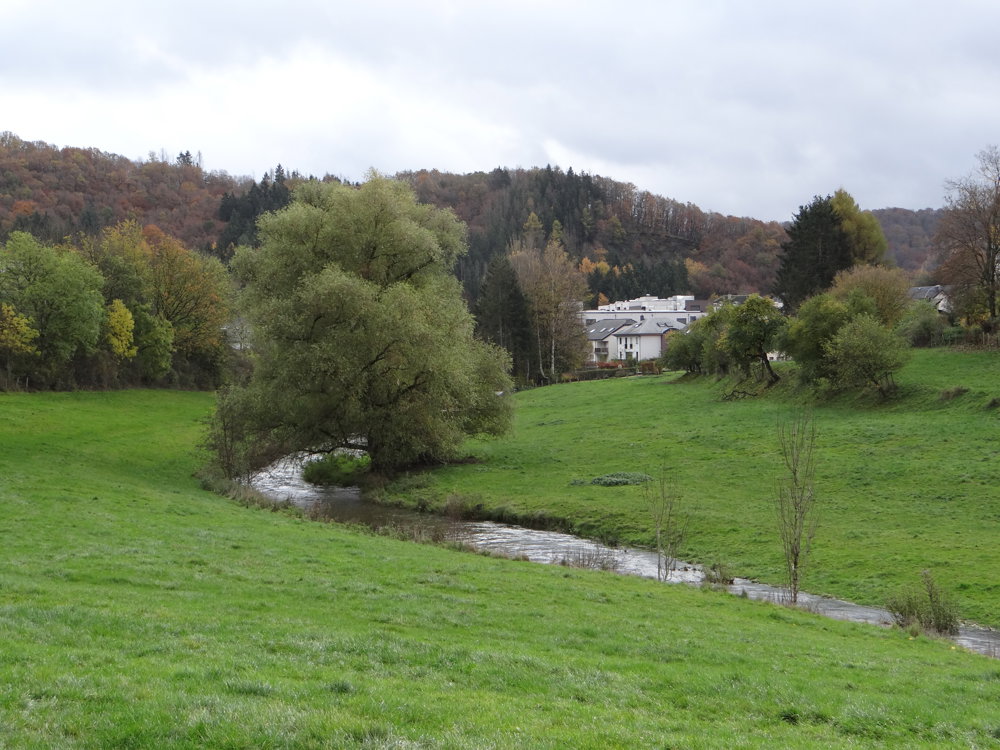
Just before the Himmelbaach flows into the Kirel, we went left into the forest and walked on unpaved paths to Erpeldange. Along the way, we enjoyed beautiful views.
After Erpeldange, paved and unpaved paths alternated, with beautiful views and narrow paths along a stream. The ruins of the Kaul Sanatorium are also worth a visit.
More photos: https://photos.app.goo.gl/HsoYikCWByoY2ict5
Happy hiking,
Eddy, Rita and Prinske
automatic translation


 Upgrade to Premium Plus
