Loading...

Lellingen Lëllgerbaach

automatic translation

11.6 km • Kiischpelt

110 0 0/5

11.6 km 0.0 km 0.0 km
10 km
© OpenStreetMap contributors, Tracestrack

route offered by

Eddy & Rita

Icon starting point Addresse starting point (approximate)

Bei Hencksebréck 1, 9760 Kiischpelt, LU

Icon type signage of route signage

The route is not signposted. Use a GPS device or our app to follow the route.

212.9 m 265.7 m 528.9 m 291.2 m These values indicate respectively the number of meters to rise, the highest and the lowest point in meters.
Atmosphere image 1 of route Lellingen Lëllgerbaach Atmosphere image 2 of route Lellingen Lëllgerbaach Atmosphere image 3 of route Lellingen Lëllgerbaach
© Eddy & Rita

Icon description route Description

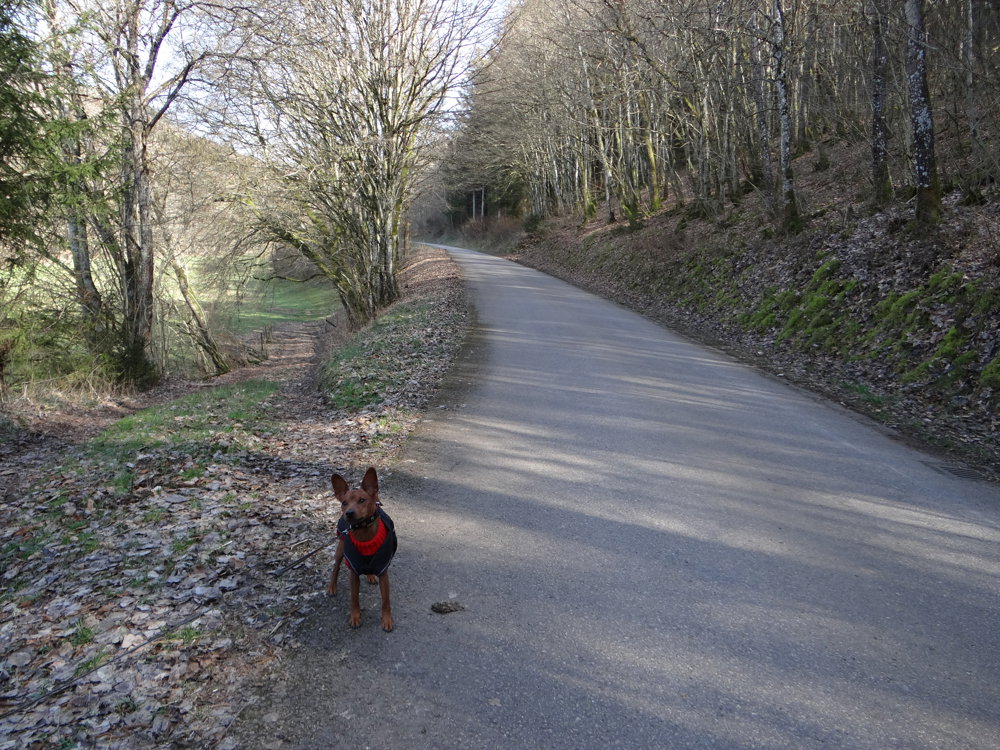
We did this beautiful, sporty walking route on 02-03-2023.

You can park at the little church of Lellingen (space for 2 cars). There is also a small parking lot in the main street (Ierwescht Duerf).

For this route, we used cycling routes, MTB routes, the Eislek trail Lellingen, and unmarked paths. All paths are easily accessible.

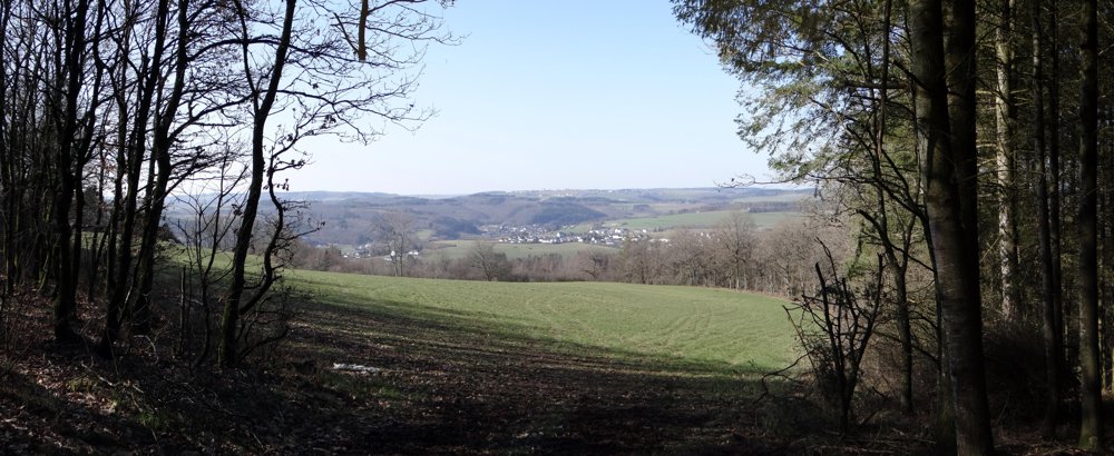
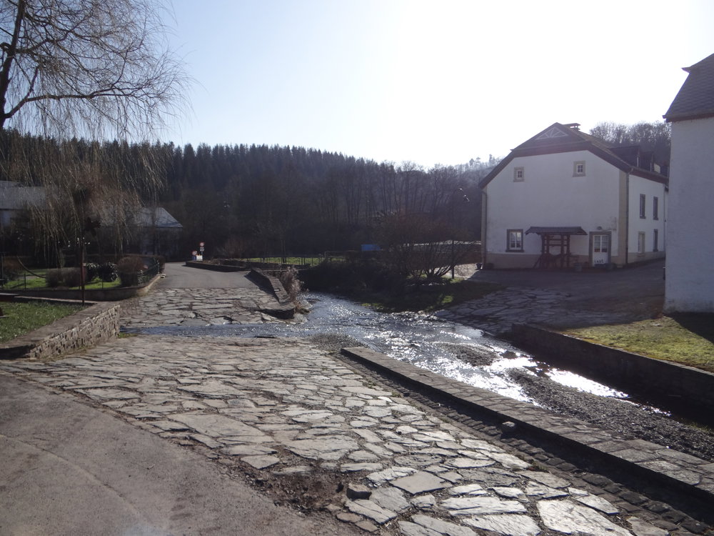
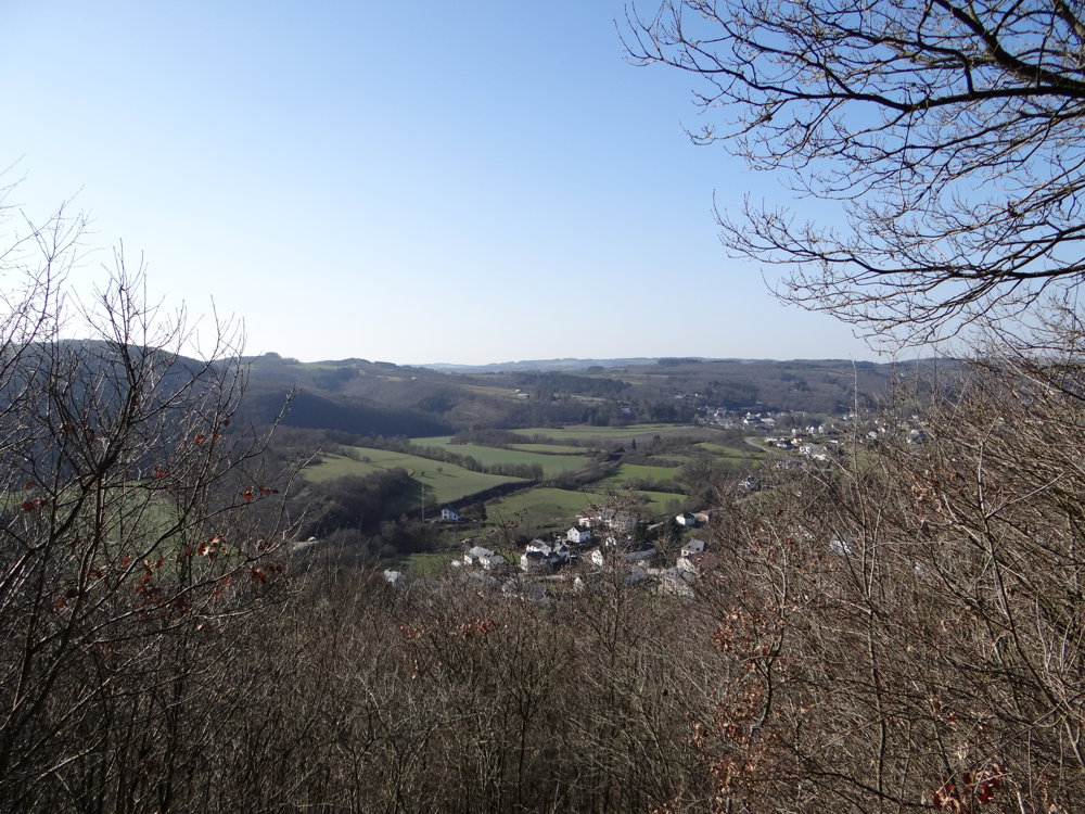
We walked the loop clockwise. The walk runs the first 5 km on paved road in the beautiful valley of the Lëllgerbaach, after which you return to Lellingen through the woods. Meanwhile, you can enjoy stunning views of the villages, hills, fields, and forests.

More photos: https://photos.app.goo.gl/EiQmEKyqizzGR8cK8

Enjoy the nature during this journey,

Eddy, Rita and Prins

automatic translation

This route does not have any reviews yet. Be the first!
Rate route!

Which POI do you want to show on the map?

Experimental hiking network
Unsigned icon

The route you have chosen runs (partly) along an experimental virtual hiking node network (the blue-coloured nodes and sections on the map).

You must be logged in to plan routes here.

Experimental hiking network
Unsigned icon

The route you have chosen runs (partly) along an experimental virtual hiking node network (the blue-coloured nodes and sections on the map).

These routes are not controlled in the field. Before you start hiking here, take a minute to read what an experimental hiking node network is and what rules you should follow when hiking here.

By clicking 'Accept all cookies,' you agree to the use of cookies for an enhanced user experience, website traffic analysis, and personalized advertisements. Cookie policy