Loading...

Nat’ Our Route 6 / Kammerwald

automatic translation

10.6 km • Vianden

200 0 0/5

10.6 km 0.0 km 0.0 km
10 km
© OpenStreetMap contributors, Tracestrack

route offered by

Eddy & Rita

Icon starting point Addresse starting point (approximate)

Rue Edouard Wolff 43, 9440 Vianden, LU

Icon type signage of route signage

The route is fully signposted with thematic signs (no nodes).

252.3 m 296.3 m 405.3 m 267.5 m These values indicate respectively the number of meters to rise, the highest and the lowest point in meters.
Atmosphere image 1 of route Nat’ Our Route 6 / Kammerwald Atmosphere image 2 of route Nat’ Our Route 6 / Kammerwald Atmosphere image 3 of route Nat’ Our Route 6 / Kammerwald
© Eddy & Rita

Icon description route Description

Along the old smuggling paths

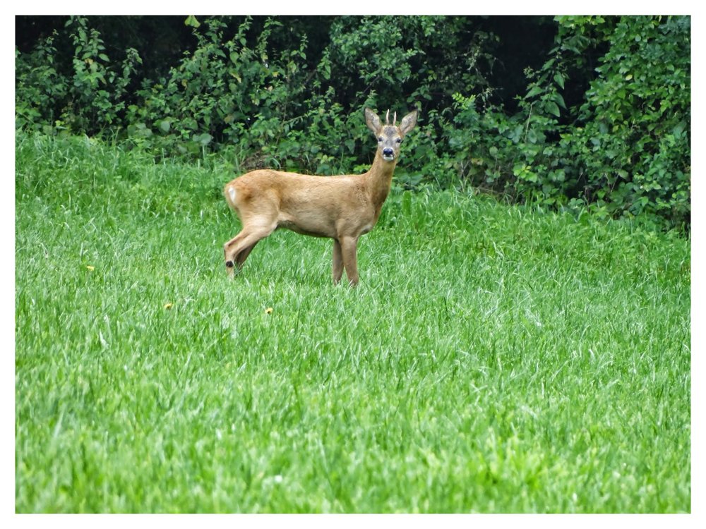
Anyone venturing into the beautiful ‘Kammerwald’ should be aware that they are walking along old smuggling paths, which still evoke an adventurous impression. These woods were, in the ‘Feudalzeit’ (1794), owned by the count of ‘Vianden’.

The enormous oaks give the ‘Kammerwald’ a fairytale appearance. Especially the magnificent King Oak, which is 350 years old—one of the oldest trees in the ‘West-Eifel’—with a circumference of 5 meters and a height of 32 meters, exudes a majestic presence.

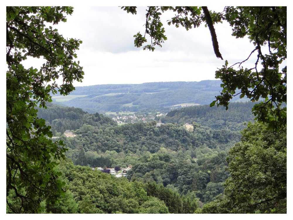
During this walk, we enter the beautiful open valley of the ‘Gay’ brook. At ‘Scheierhaff’, one gets a lovely view of the castle of ‘Vianden’, located on the opposite side of the ‘Our’.

More photos: https://photos.app.goo.gl/wz2yrFUHyDNaGxvF7
Happy hiking,
Eddy, Rita, and Prinske

automatic translation

This route does not have any reviews yet. Be the first!
Rate route!

Which POI do you want to show on the map?

Experimental hiking network
Unsigned icon

The route you have chosen runs (partly) along an experimental virtual hiking node network (the blue-coloured nodes and sections on the map).

You must be logged in to plan routes here.

Experimental hiking network
Unsigned icon

The route you have chosen runs (partly) along an experimental virtual hiking node network (the blue-coloured nodes and sections on the map).

These routes are not controlled in the field. Before you start hiking here, take a minute to read what an experimental hiking node network is and what rules you should follow when hiking here.

By clicking 'Accept all cookies,' you agree to the use of cookies for an enhanced user experience, website traffic analysis, and personalized advertisements. Cookie policy