 Hiking
 Login
Login More
More EN
EN Premium
Vianden: Nat-Our 5
automatic translation
12.5 km • Vianden
170 0 0/5

 Addresse starting point (approximate)
Rue Du Vieux Marché 48, 9419 Vianden, LU
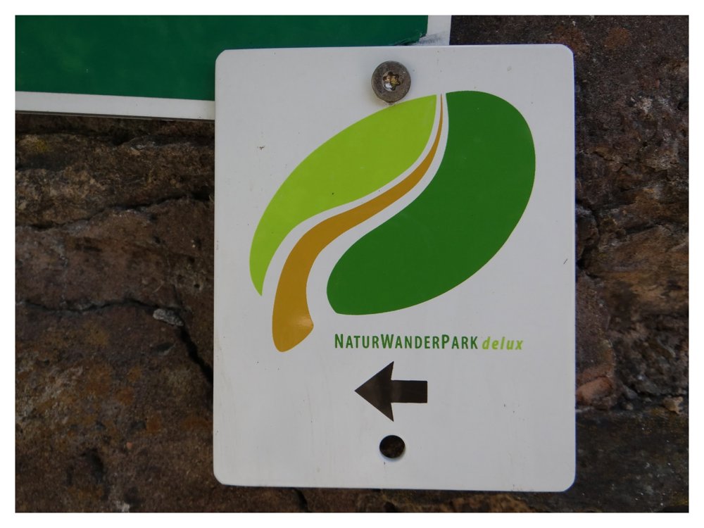
 signage
The route is fully signposted with thematic signs (no nodes).
 Description
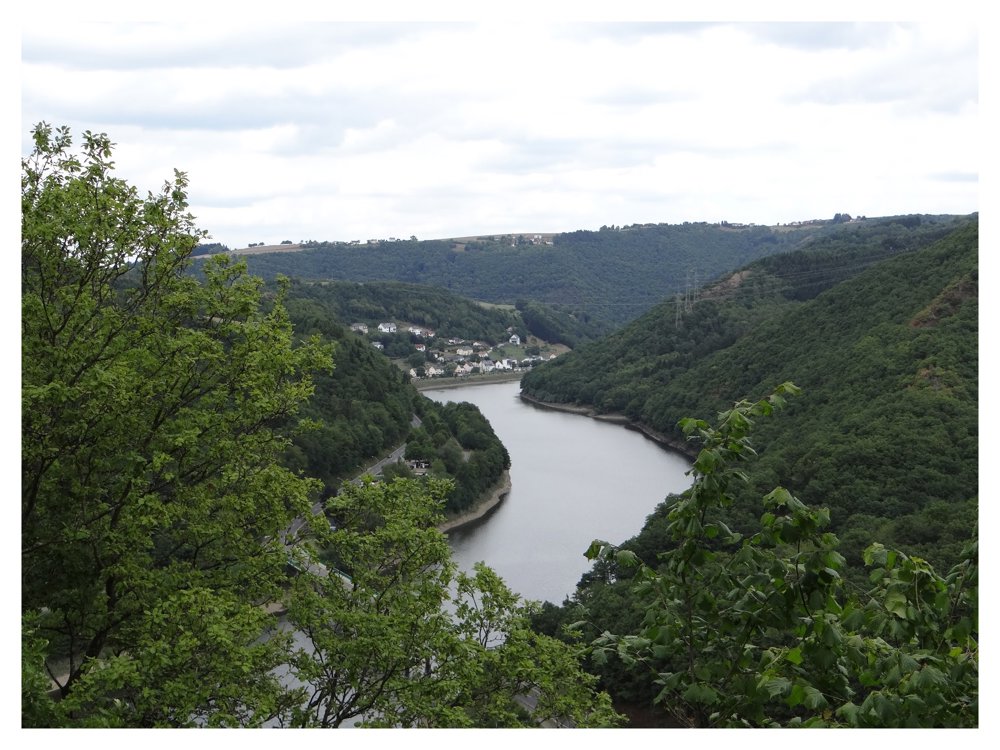
The Our Valley is always a guarantee for a hike full of variety. A grandiose, ancient landscape with low mountains runs through the Our Valley. The Our is a master in shaping the landscape here.
An almost alpine experience is provided by the rocky border path along the Lätgesberg with grand views. After so many ascents and descents, the Our Valley reservoir - the lower basin of the pump-driven power plant - with its promenade and the Our towns of Bivels invite you to leisurely stroll.
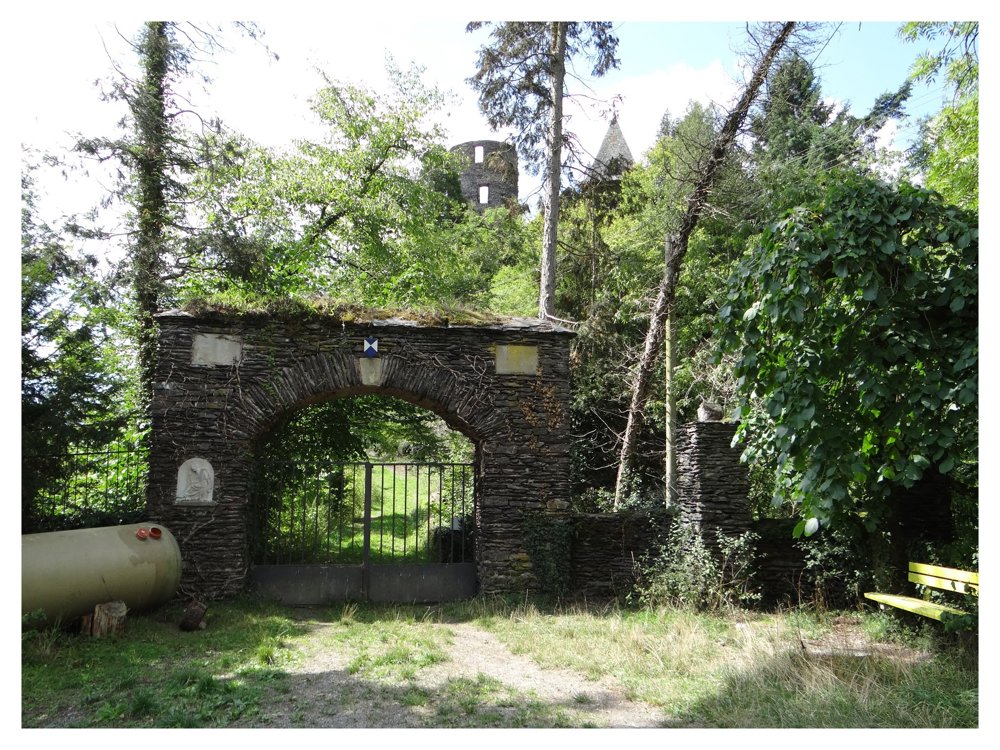
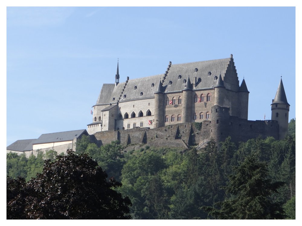
On a high rocky outcrop above the bend in the Our sit the ruins of Falkenstein Castle. A few steps downstream, the medieval town of Vianden resides with its reconstructed castle - one of the most important and powerful castles in Europe.
More photos: https://photos.app.goo.gl/dhdfPRuDydHjzden9
Happy hiking,
Eddy, Rita, and Prinske
automatic translation


 Upgrade to Premium Plus
