 Hiking
 Login
Login More
More EN
EN Premium
Auto-pedestrian Contern
automatic translation
11.6 km • Contern
90 0 0/5

 Addresse starting point (approximate)
Rue De Luxembourg 37A, 5314 Contern, LU
 signage
The route is fully signposted with thematic signs (no nodes).
 Description
Marking in one direction: blue flag on white background.
Normally, the departure is at the church, but it is difficult to park. All parking spots in the center require a parking card with a limit of 3 hours, which is a bit tight for a walk with such beautiful views. We searched and found a parking spot on the CR234 with no restriction, on the edge of the center.
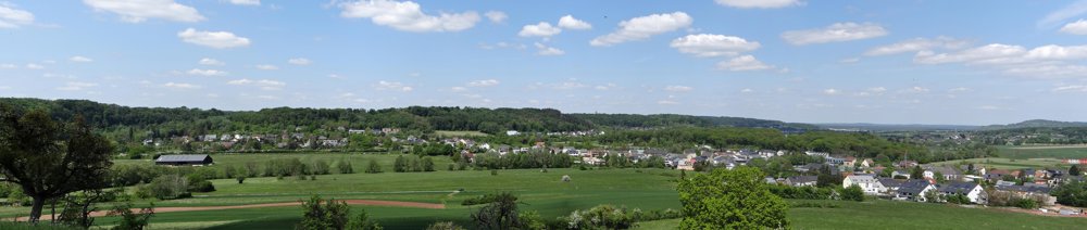
We started this walk with mixed feelings. At the beginning, you see some industry, but it is actually hidden behind the greenery. Soon you find yourself in the beautiful Schleederbaach valley towards Moutfort. The church of Moutfort was open, be sure to go inside. Once out of the valley and through Moutfort, the walker is treated to stunning views until returning to Contern.
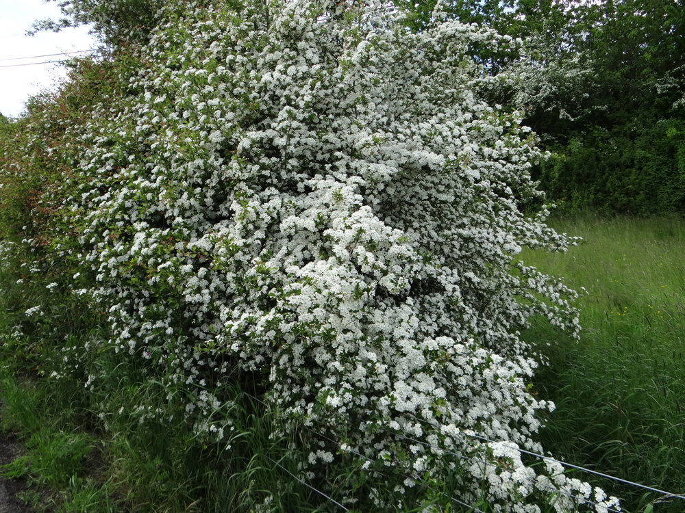
It was May, the hawthorn was in bloom, giving a beautiful hue to the fields.
More photos: https://photos.app.goo.gl/Xt9S58p8ggvMXoFy8
Happy walking,
Eddy, Rita and Prinske
automatic translation


 Upgrade to Premium Plus
