 Hiking
 Login
Login More
More EN
EN Premium
Bissen: Deer and Wild Boar
automatic translation
10 km • Bissen
150 0 0/5

 Addresse starting point (approximate)
Geich Bësch, Bissen, LU
 signage
The route is fully signposted with thematic signs (no nodes).

 Description
For this beautiful walk, we parked the car in a spacious, lovely parking lot on the CR306 in Bissen.
We set off clockwise. The walk is a combination of two local marked hiking trails marked with a deer and a wild boar. The markings are not plentiful, so it's best to take a map and/or track with you.
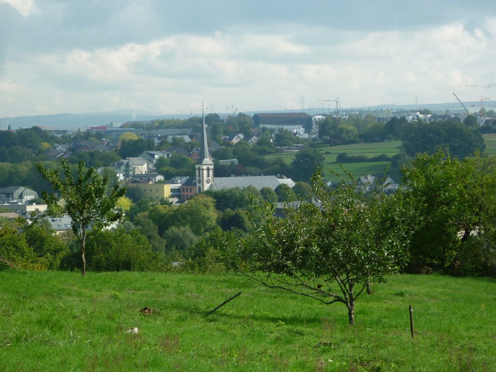
You descend into the little village of Bissen, located in the valley of the Attert, offering beautiful views of the surroundings. Bissen has a nice village center, but just outside this center, you get a view of ArcelorMittal Bissen & Bettembourg - Site de Bissen SA.
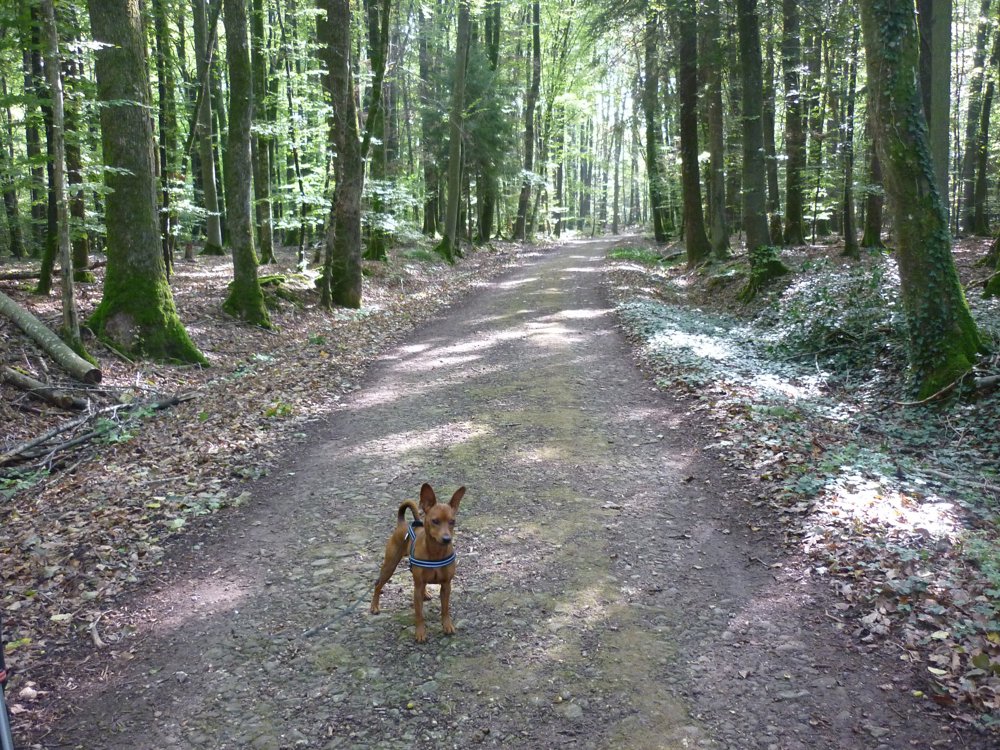
Ascending an old railway line, you quickly leave the industrial zone behind to cross the Attert via a railway bridge through the beautiful forests located in the Attert valley. From there, you stay in the forest until you reach the starting point.
More photos: https://photos.app.goo.gl/TcdH8DpSUCtffrPg7
Happy hiking,
Eddy, Rita, and Prinske
automatic translation


 Upgrade to Premium Plus
