 Hiking
 Login
Login More
More EN
EN Premium
Colmar Berg local route CB 1
automatic translation
10.8 km • Colmar-Berg
80 0 0/5

 Addresse starting point (approximate)
Rue Homecht 2, 7724 Colmar-Berg, LU
 signage
The route is fully signposted with thematic signs (no nodes).
 Description
Departing can be done from the parking lot at ‘Rue Homecht’ or from ‘An Der Sang’, a street with a spacious parking lane on one side.
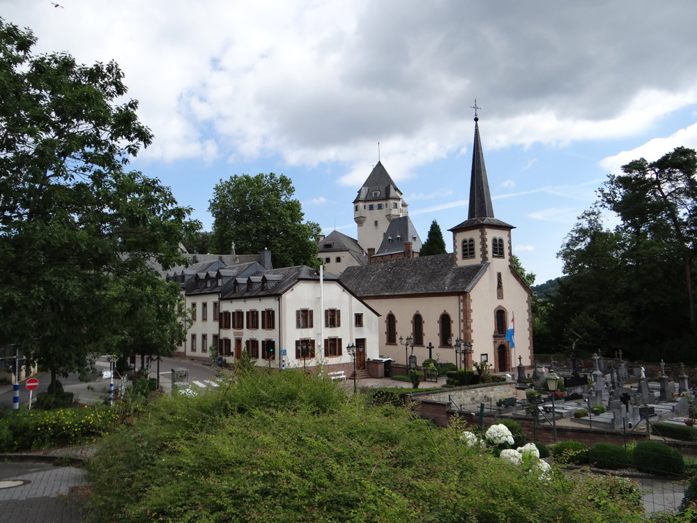
One can also make it into a station walk, but that adds an extra kilometer. Starting from the parking lot of ‘Rue Homecht’, you immediately have a beautiful view of Berg Castle. The castle is the main residence of the Grand Duke of Luxembourg.
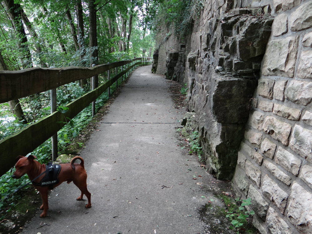
The walk first follows a paved path that runs a bit along the bank of the ‘Alzette’, then goes past the birthplace of René Mertzig (1911-1986), a Luxembourgish composer. After that, the walk plunges into the forest, emerging only 10 km later.
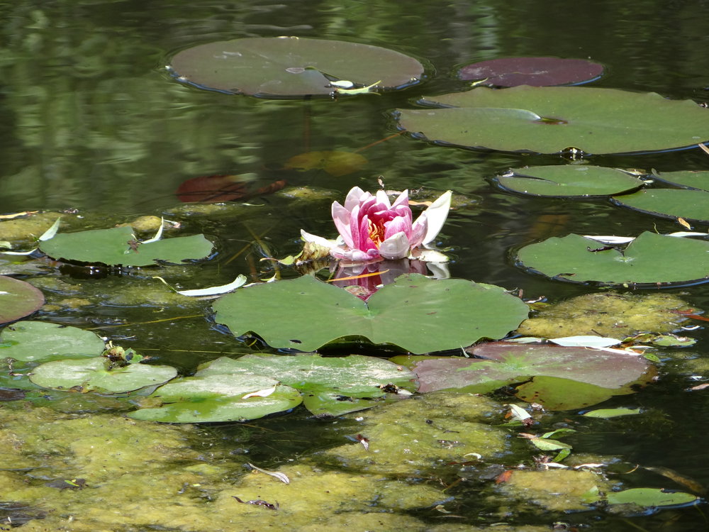
In the meantime, you follow the ‘Schwartzbaach’, then the ‘Helmeschbaach’. In the valley of the ‘Helmeschbaach’, a few dams have been constructed, creating beautiful ponds. The varied vegetation ensures that the forest never gets boring.
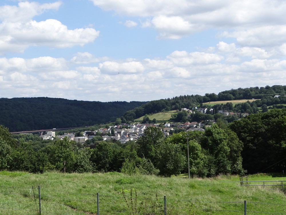
In short, a wonderful nature walk.
More photos: https://photos.app.goo.gl/cW6Xz6bcroXGXHW78
automatic translation


 Upgrade to Premium Plus
