 Hiking
 Login
Login More
More EN
EN Premium
To the Booischot countryside (by train?)
automatic translation
11.2 km • Heist-op-den-Berg
1351 0 0/5

 Addresse starting point (approximate)
Prof. August Lodewijckxstraat 2B, 2221 Heist-op-den-Berg, BE
 signage
The route is not signposted. Use a GPS device or our app to follow the route.
 Description
Park at Booischot station or better: come by train.
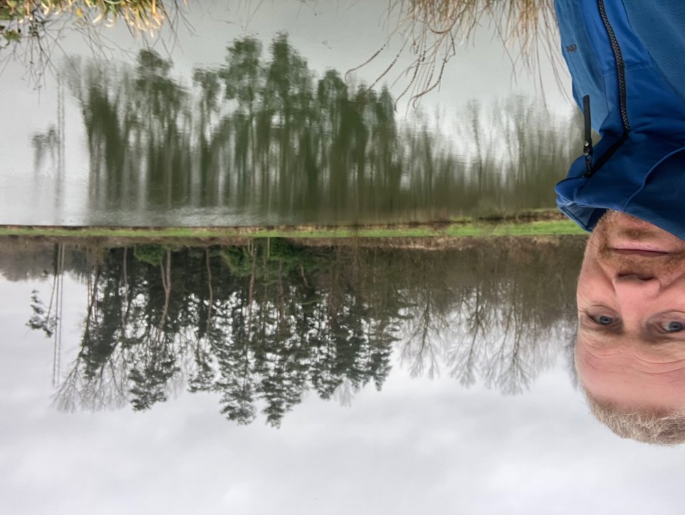
Everything a typical Campine village has to offer is featured: farms, local football clubs, Chiro, forest and field paths, ...
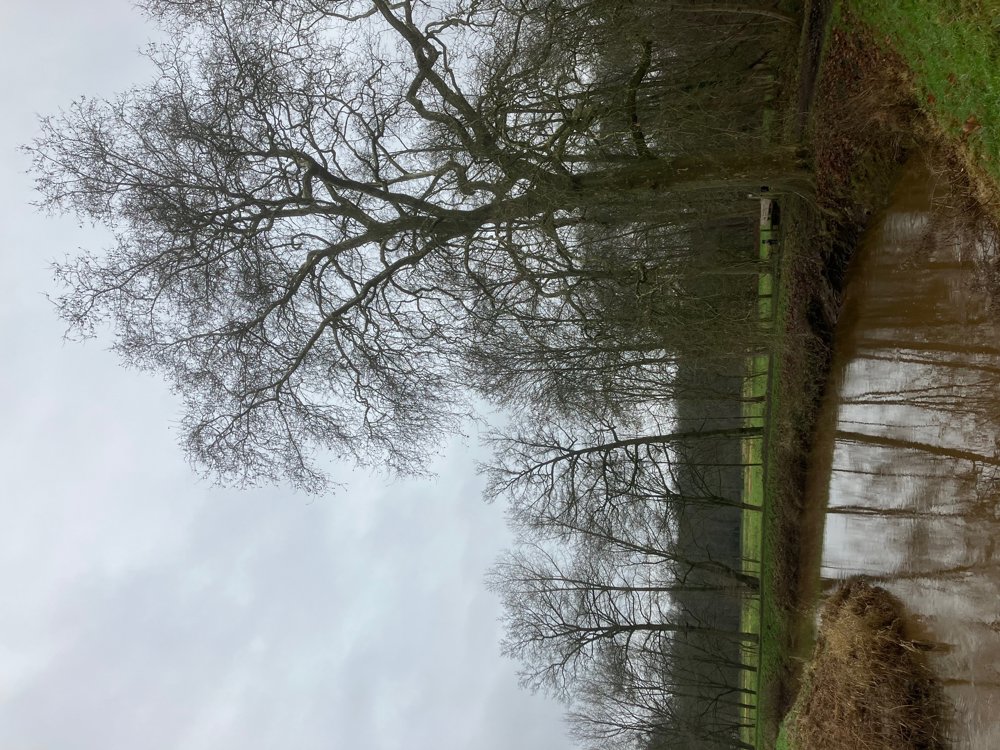
Soon you leave the quiet road and a gravel path leads you past the sports center with horse arena towards Booischot center. Via the green back of a residential area, followed by a quiet concrete road lined with trees, you search for the meadows of the Grote Nete.
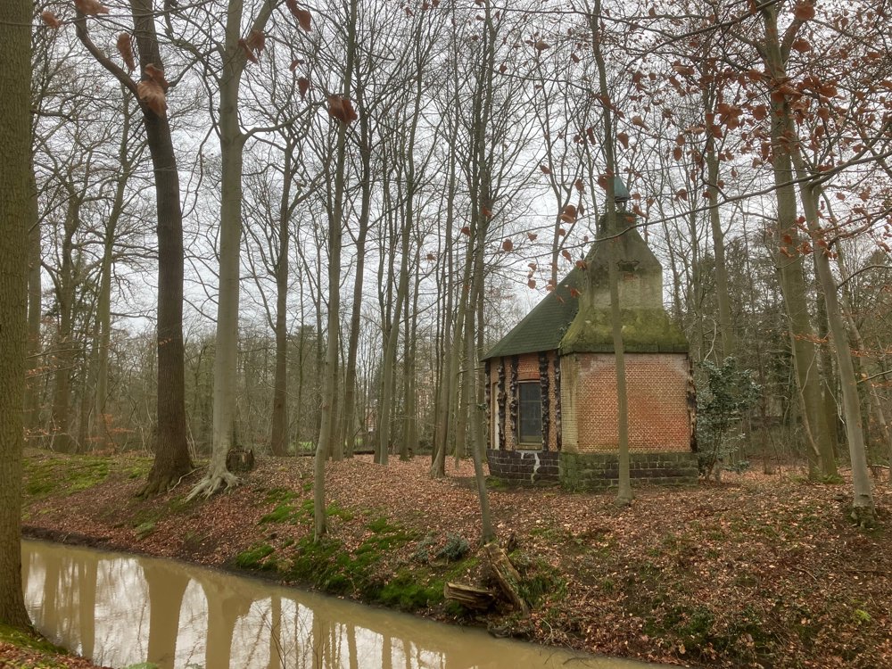
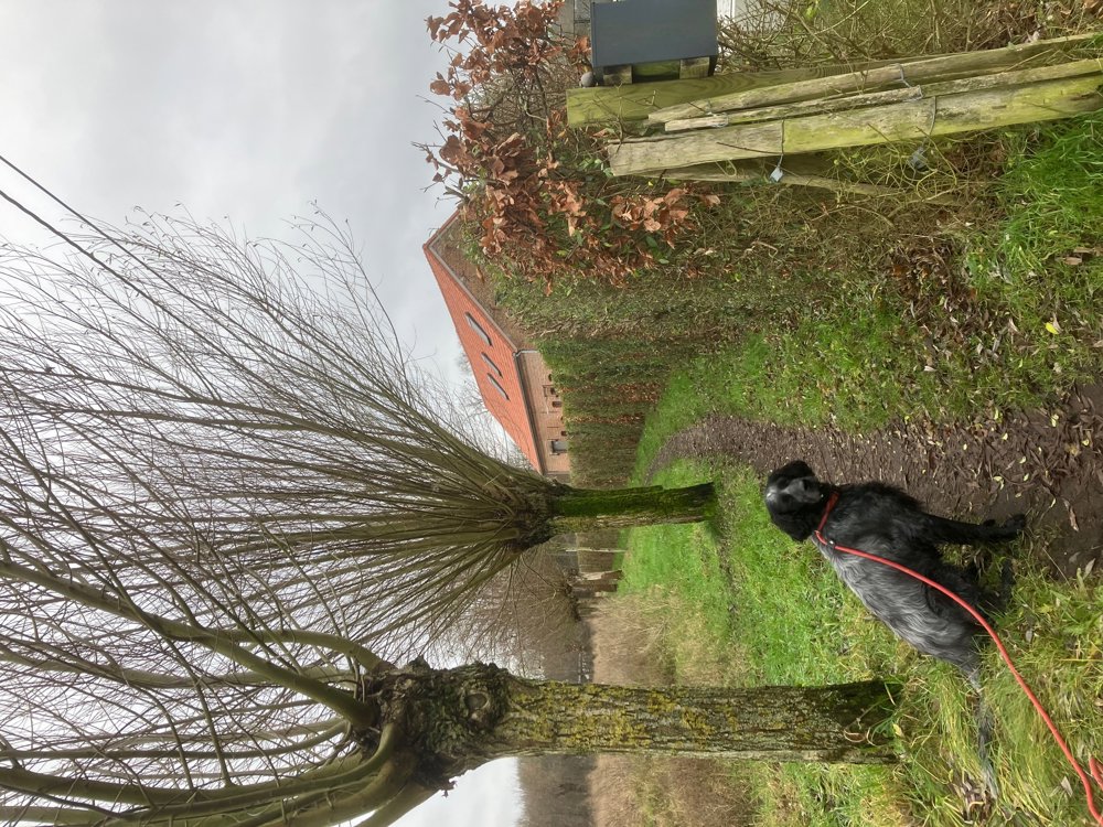
The beautiful views of the Nete valley end in the castle park Hof ter Laken with its majestic avenues and beautiful beech forest where the centuries-old ice cellar and the Samenhof are hidden. Via the local football fields and Chiro grounds you reach the church where 'De Parlé' offers a cozy stopover. You leave the village center and pass an organic farm. Then, various gravel, forest and quiet roads take you past small farms and a tree nursery back towards the station (catering!).
High hiking boots, dogs on leash.
automatic translation


 Upgrade to Premium Plus
