 Hiking
 Login
Login More
More EN
EN Premium
Along Waverwoud, Ursulines, and Greenhouse Cultivation
automatic translation
15.5 km • Sint-Katelijne-Waver
3670 0 0/5

 Addresse starting point (approximate)
Voorland 2, 2860 Sint-Katelijne-Waver, BE
 signage
The route is not signposted. Use a GPS device or our app to follow the route.
 Description
Park in the center of St.-Katelijne-Waver.
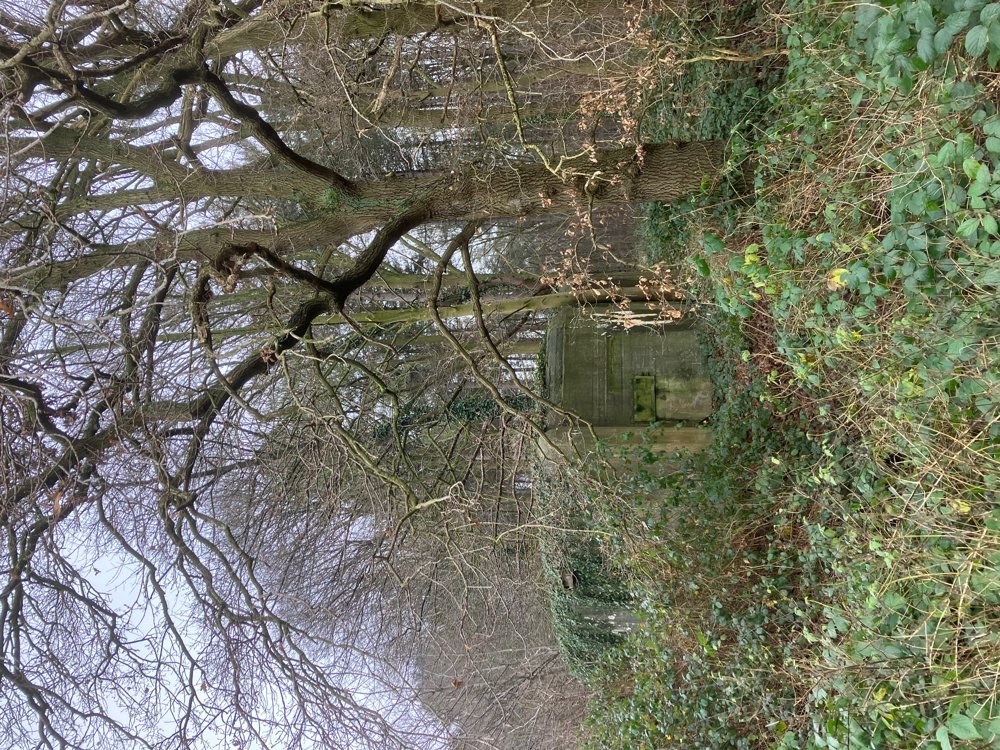
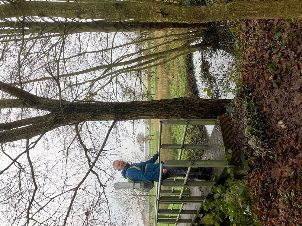
You pass several war remnants such as bunkers during this walk and immediately start with the Schans van Bosbeek. Then, you visit the various remaining parts of the great Waverwoud, which in the Middle Ages stretched between Nete and Dijle: De Hondsbossen, De Gasthuisbossen, De Brede Zeyp, Het Vossenbergbos, and De Zuurbossen. Some parts are more accessible than others and it can be quite damp there: high walking shoes recommended! All of them today shelter a significant amount of native fauna and flora that are thus protected.
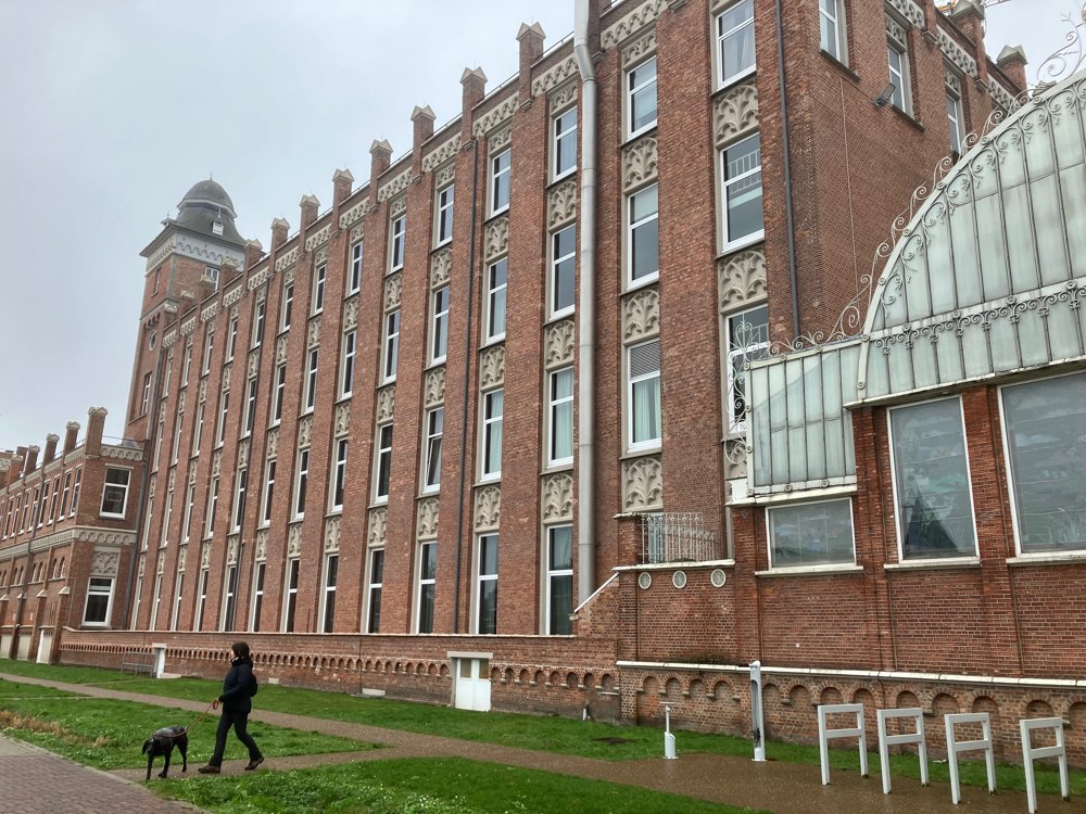
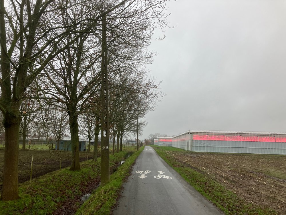
Along the way, you can take a look at the remnants of the Fort of Koningshooikt (now an event site) or visit the Winter Garden of the School and Monastery complex Sint-Ursula in Onze-Lieve-Vrouw-Waver (no dogs!). The greenhouse cultivation of, among other things, tomatoes and lettuce, typical of this area with Belorta, is also featured.
Dogs welcome on a leash. Dining options in the village centers.
automatic translation


 Upgrade to Premium Plus
