 Hiking
 Login
Login More
More EN
EN Premium
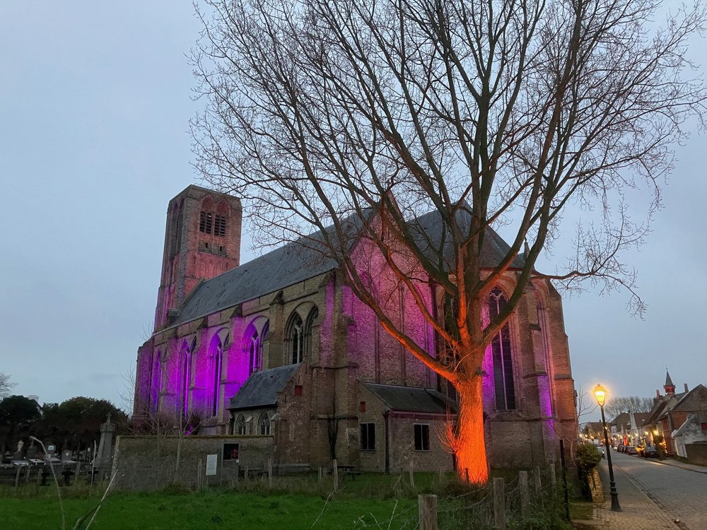
Damme, art, the canal and the Fort of Bavaria
automatic translation
9.4 km • Damme
4201 0 0/5

 Addresse starting point (approximate)
Kerkstraat 56A, 8340 Damme, BE
 signage
The route is not signposted. Use a GPS device or our app to follow the route.
 Description
Park for free at Damme-Oost parking.
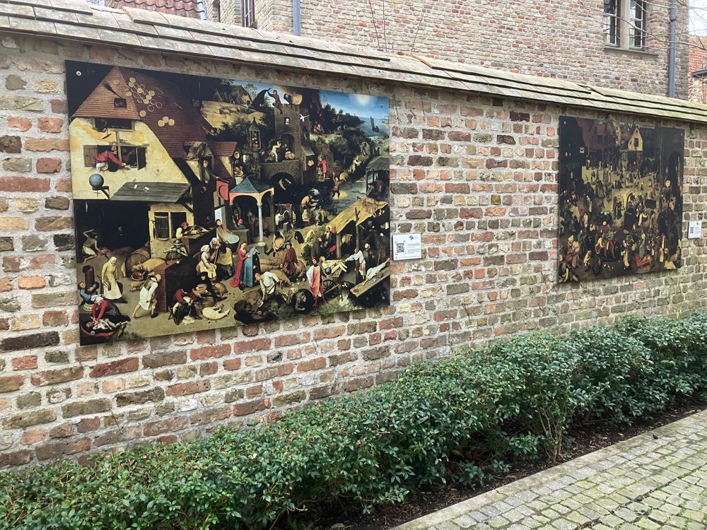
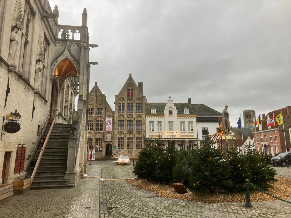
You are immediately in the cozy historic center of Damme. In the town hall garden, you will find the start of the "Walking Museum". On ten large panels in the center of Damme, you can freely, and at any time, become acquainted with the legend of Till Eulenspiegel, the art of Bruegel, and the history of Flanders in the 16th century. Point your smartphone or tablet at the panels, and they come to life in a wonderful way, via augmented reality, on your screen. During this walk, you will pass 8 of them (2 additional along Damse Vaart West).
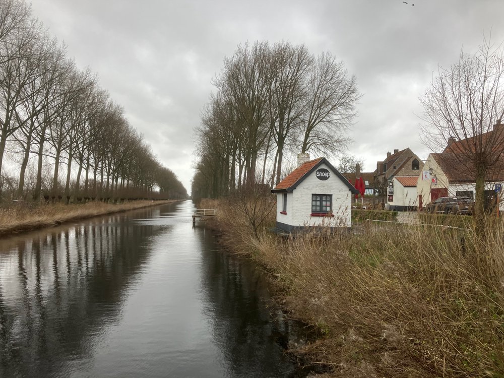
Beyond the art panels and historical buildings, you can unwind along Damse Vaart, pass the Lamme Goedzak, the Schellemolen, and search for the provincial domain "Het Fort van Beieren". Besides forest, water, and history, you can enjoy a snack/drink here, just like in many places in Damme itself. Tip: evening in Damme!
(High) walking shoes are handy. Dogs are welcome on a leash.
automatic translation


 Upgrade to Premium Plus
