Loading...

Mettet unpaved road walk

automatic translation

11.5 km • Mettet

780 0 0/5

11.5 km 0.0 km 0.0 km
10 km
© OpenStreetMap contributors, Tracestrack

route offered by

Peter D'hont

Icon starting point Addresse starting point (approximate)

Place Saint-Martin 38, 5640 Mettet, BE

Icon type signage of route signage

The route is not signposted. Use a GPS device or our app to follow the route.

148.5 m 152.8 m 271.9 m 197.2 m These values indicate respectively the number of meters to rise, the highest and the lowest point in meters.
Atmosphere image 1 of route Mettet unpaved road walk Atmosphere image 2 of route Mettet unpaved road walk Atmosphere image 3 of route Mettet unpaved road walk
© Peter D'hont

Icon description route Description

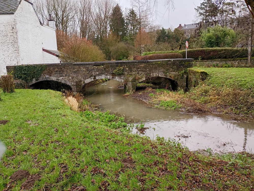
Departure: parking Eglise Saint Martin - Place Saint Martin - 5640 Mettet

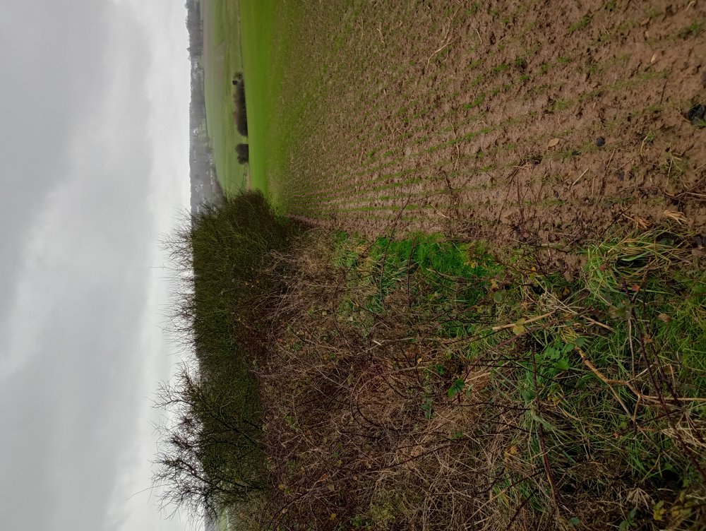
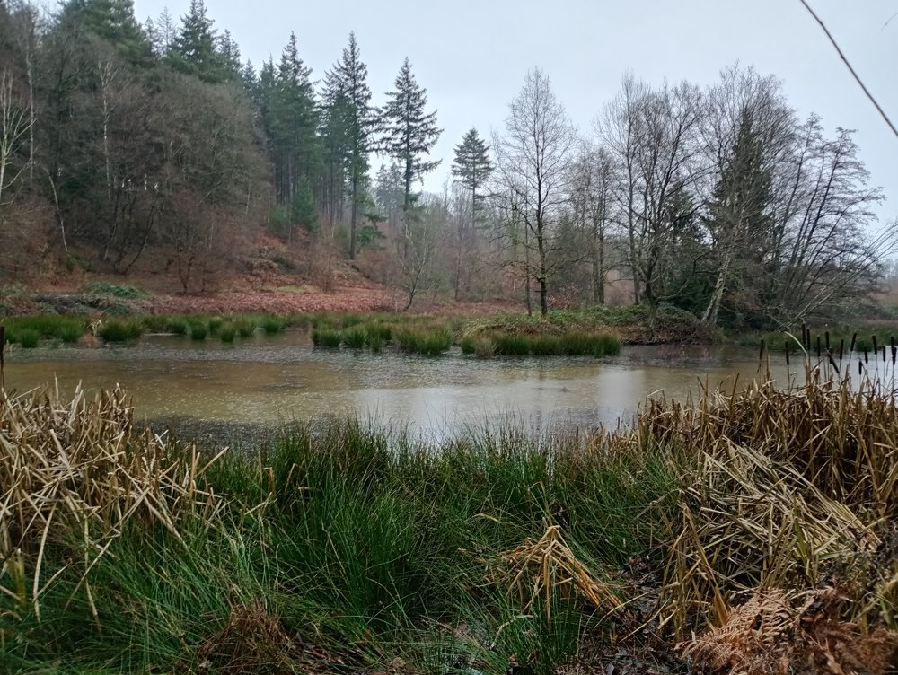
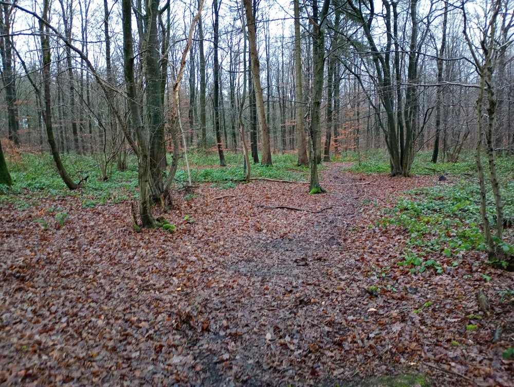
We start in Mettet and walk through the fields towards the forest of Hanzinne, which we are not allowed or able to enter. This forest is managed naturally, which means that all paths in the forest are overgrown and impassable. However, the paths around the forest and the paths around the ponds are accessible to walkers.

No sanitary stop is possible due to the lack of catering services along the way, but the advantage is that we walk on slow paths (trails) and forest paths. Even in rainy periods, this walk is doable with a pair of good walking shoes.

automatic translation

This route does not have any reviews yet. Be the first!
Rate route!

Which POI do you want to show on the map?

Experimental hiking network
Unsigned icon

The route you have chosen runs (partly) along an experimental virtual hiking node network (the blue-coloured nodes and sections on the map).

You must be logged in to plan routes here.

Experimental hiking network
Unsigned icon

The route you have chosen runs (partly) along an experimental virtual hiking node network (the blue-coloured nodes and sections on the map).

These routes are not controlled in the field. Before you start hiking here, take a minute to read what an experimental hiking node network is and what rules you should follow when hiking here.

By clicking 'Accept all cookies,' you agree to the use of cookies for an enhanced user experience, website traffic analysis, and personalized advertisements. Cookie policy