Loading...

Poederlee-Lille-Poederlee

automatic translation

11.1 km • Lille

3351 1 4/5

11.1 km 0.0 km 0.0 km
10 km
© OpenStreetMap contributors, Tracestrack

route offered by

Jan Theunis

Icon starting point Addresse starting point (approximate)

Heggelaan 27, 2275 Lille, BE

Icon type signage of route signage

The route is fully signposted with nodes.

58.7 m 61.8 m 34.5 m 8.3 m These values indicate respectively the number of meters to rise, the highest and the lowest point in meters.
Atmosphere image 1 of route Poederlee-Lille-Poederlee
© Jan Theunis

Icon description route Description

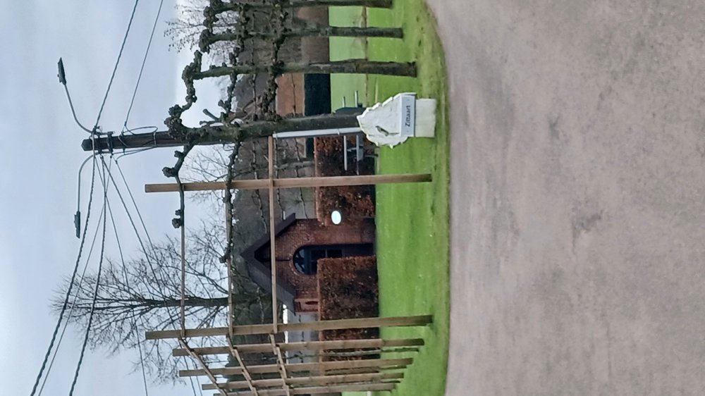
Parking: Heggelaan Poederlee (near the football field)

Signage: Junction points.

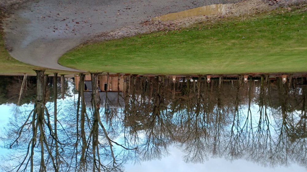
Many paved sections, here and there some field roads and rarely any forest.

If you want something different than walking through the wet woods, this is a good alternative.

Rest benches: at, among others, 0.9 / 5.4 / 8.5 and 10 km

automatic translation

Icon nodes to follow nodes to follow

Icon start route
0 km
Image node 84
0.1 km
Image node 83
0.5 km
Image node 86
1.1 km
Image node 11
1.6 km
Image node 12
2.3 km
Image node 13
2.4 km
Image node 14
3 km
Image node 15
3.6 km
Image node 9
4 km
Image node 8
4.3 km
Image node 8
4.4 km
Image node 7
4.9 km
Image node 27
5.3 km
Image node 27
5.4 km
Image node 27
5.4 km
Image node 27
5.4 km
Image node 26
6.5 km
Image node 25
7.5 km
Image node 60
8.4 km
Image node 62
9 km
Image node 63
9.1 km
Image node 64
9.6 km
Image node 78
10 km
Image node 79
10.3 km
Image node 5
10.6 km
Image node 84
11 km
Icon stop route
11.1 km
This route has 1 review(s).
Rate route!

Sunday, January 19, 2025 by Hilde KeersmaekersNice walk, lots of beautiful architecture, interspersed with nature. Very pleasant on a winter afternoon.
automatic translation

Which POI do you want to show on the map?

Experimental hiking network
Unsigned icon

The route you have chosen runs (partly) along an experimental virtual hiking node network (the blue-coloured nodes and sections on the map).

You must be logged in to plan routes here.

Experimental hiking network
Unsigned icon

The route you have chosen runs (partly) along an experimental virtual hiking node network (the blue-coloured nodes and sections on the map).

These routes are not controlled in the field. Before you start hiking here, take a minute to read what an experimental hiking node network is and what rules you should follow when hiking here.

By clicking 'Accept all cookies,' you agree to the use of cookies for an enhanced user experience, website traffic analysis, and personalized advertisements. Cookie policy