 Hiking
 Login
Login More
More EN
EN Premium
Yellow: Ten Aard Path
automatic translation
12.2 km • Geel
3653 1 4/5

 Addresse starting point (approximate)
Vaartstraat 54, 2440 Geel, BE
 signage
The route is fully signposted with nodes.
 Description
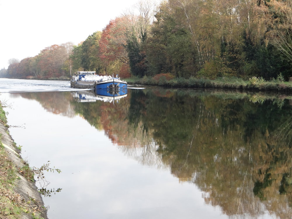
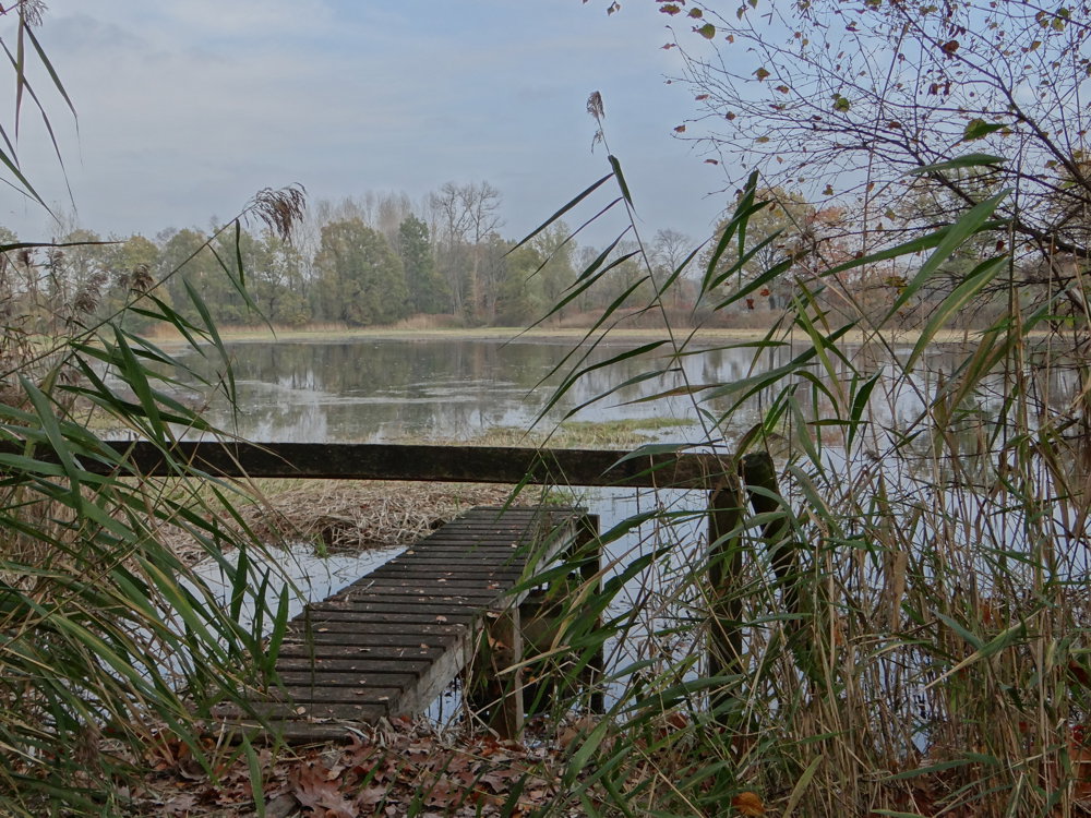
A surprising and beautiful rural route.
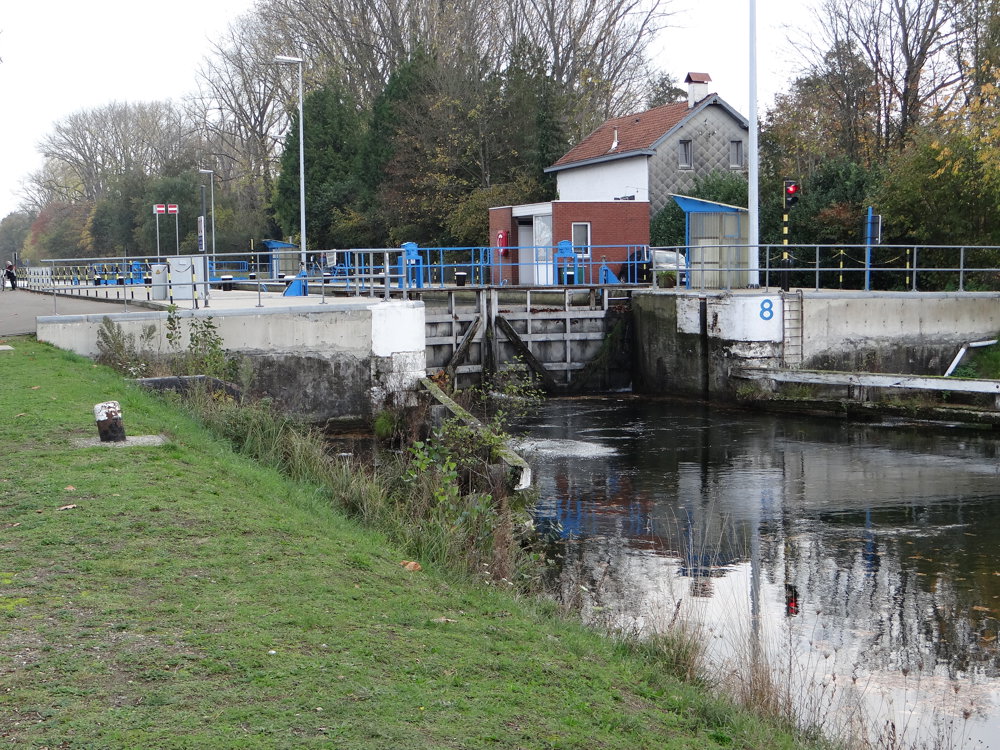
A walking tour along water features, moist meadows, sandy pine and oak forests, heathlands, and bocage landscapes. Along the way, you will also encounter interesting (small-scale) heritage.
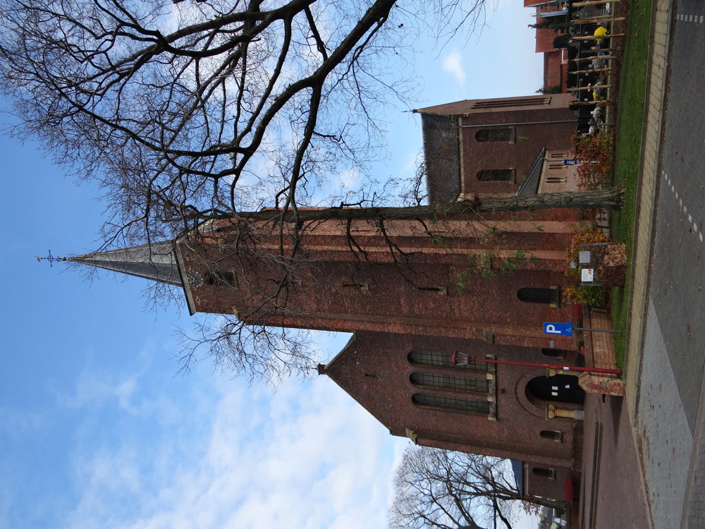
Starting and ending point: the Saint Hubert Church on Vaartstraat in Ten Aard, where there is ample parking around the church.
More photos: https://photos.app.goo.gl/F9YwkUNGfbWTfFj19
Enjoy your walk,
Eddy, Rita, and Prinske
automatic translation
 nodes to follow
0 km
0.3 km
2.2 km
5.4 km
5.9 km
6.7 km
8 km
9.3 km
9.8 km
10.7 km
12.2 km
Sunday, December 22, 2024 by E.D.Between 40 and 57 a few node markers are missing,we were walking too far,a very nice route though,highly recommended!
automatic translation
Tuesday, December 24, 2024 by Eddy & RitaThank you for this nice response. Report the shortcoming to routedokter.be?
automatic translation


 Upgrade to Premium Plus
