 Hiking
 Login
Login More
More EN
EN Premium
Ell: Knuppebierg
automatic translation
10.6 km • Redange-sur-Attert
140 0 0/5

 Addresse starting point (approximate)
Heidchen 8, 8542 Redange/Attert, LU
 signage
The route is not signposted. Use a GPS device or our app to follow the route.
 Description
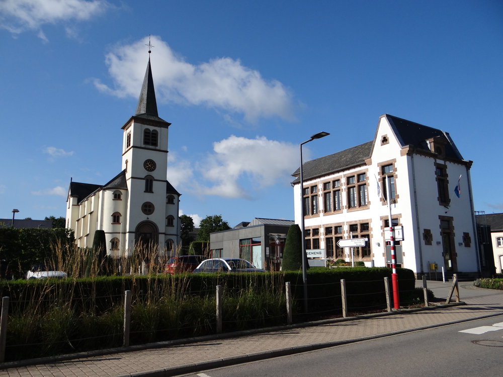
This is a beautiful local walk that starts in the center of Ell. There is plenty of parking available.
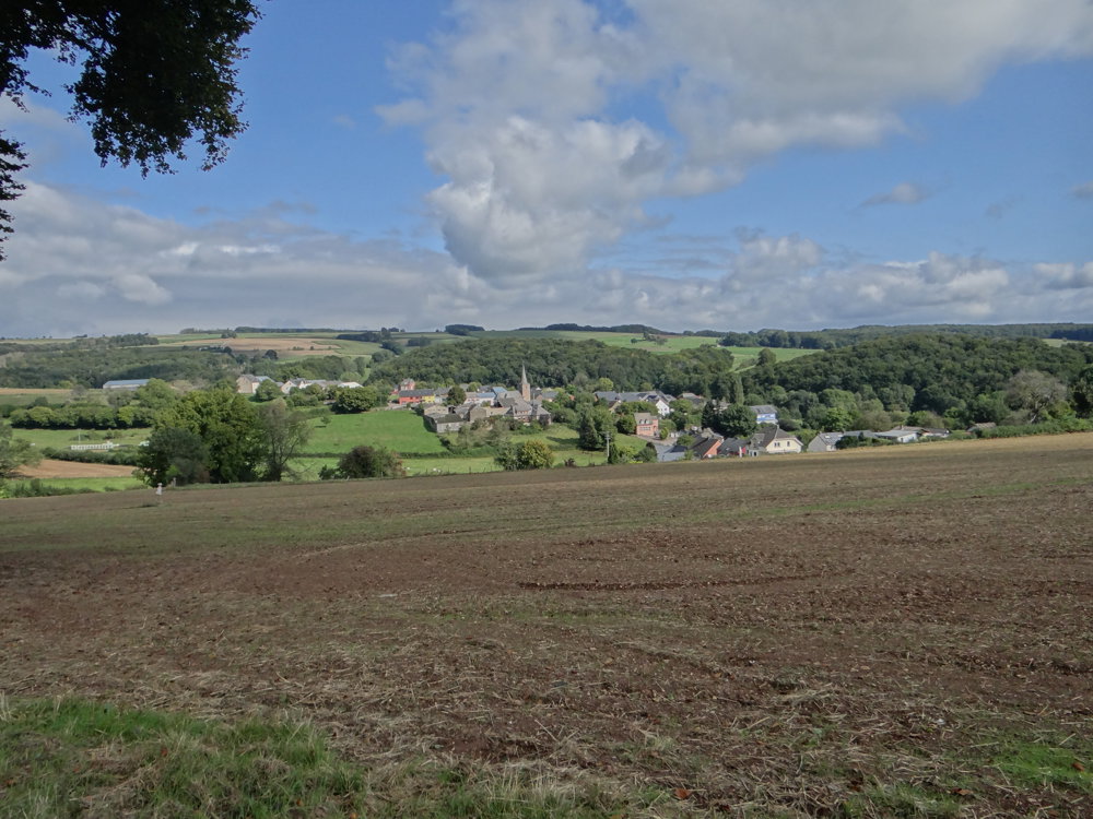
We did this route counterclockwise, allowing us to gradually climb from 280 meters to 400 meters and then descend to 350 meters via a steep descent into the valley of the Koulbich (small stream).
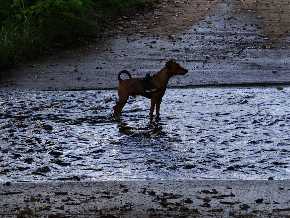
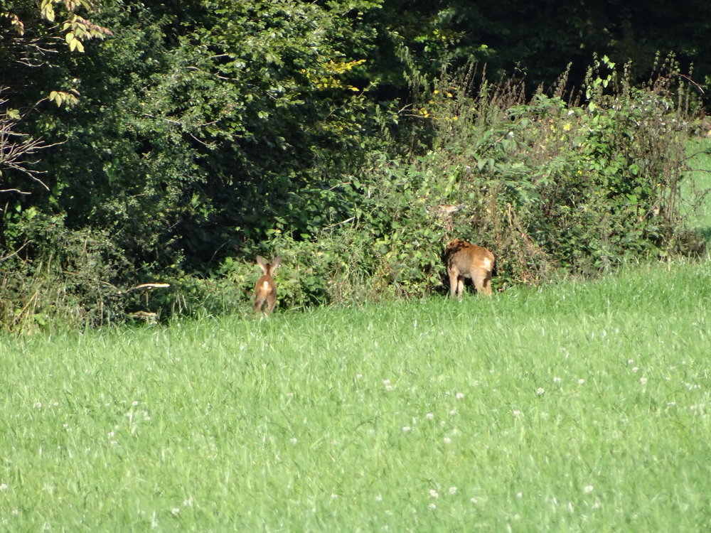
The walk is half on paved roads and half on unpaved paths. It is almost car-free. We were lucky to spot some deer with calves. They are very shy, but we managed to take some photos. There are also beautiful views.
And don't forget to enjoy the silence and nature. 😉
More photos: https://photos.app.goo.gl/USrbxZZ8YASwYxXj7
Happy walking,
Eddy, Rita, and Prinske
automatic translation


 Upgrade to Premium Plus
