Esch-Sur-Sûre: local route ES 13

automatic translation

10.2 km • Esch-sur-Sûre

130 0 0/5

10.2 km 0.0 km 0.0 km
10 km
© OpenStreetMap contributors, Tracestrack

route offered by

Eddy & Rita

Icon starting point Addresse starting point (approximate)

Rue Des Jardins 3, 9650 Esch-sur-Sûre, LU
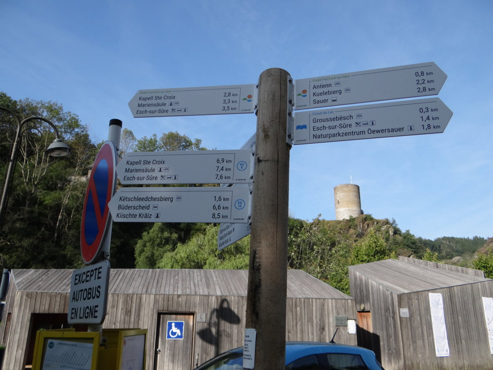
Icon type signage of route signage

The route is fully signposted with thematic signs (no nodes).

338.2 m 283.6 m 481.5 m 274 m These values indicate respectively the number of meters to rise, the highest and the lowest point in meters.
Atmosphere image 1 of route Esch-Sur-Sûre: local route ES 13 Atmosphere image 2 of route Esch-Sur-Sûre: local route ES 13 Atmosphere image 3 of route Esch-Sur-Sûre: local route ES 13
© Eddy & Rita

Icon description route Description

Departure can be from the spacious parking lot at the entrance of the village.

For the route, we used the brand new walking network "Leader project" of North Luxembourg. Information and a link to the hikes can be found on the Visit Eislek website.

The walk is well signposted, but still take a GPS track and/or the map with you. Sometimes a signposting is missing or tampered with. That was the case during our walk, causing us to briefly head in the wrong direction.

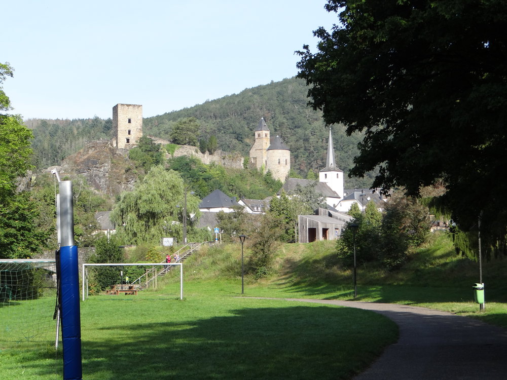
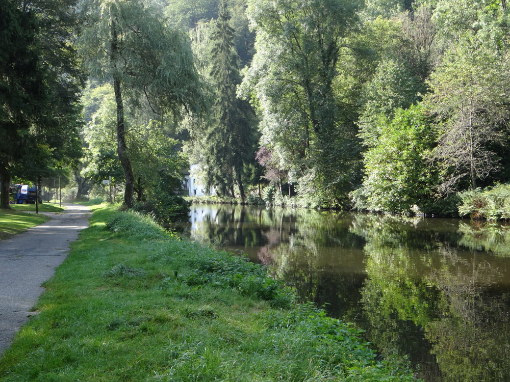
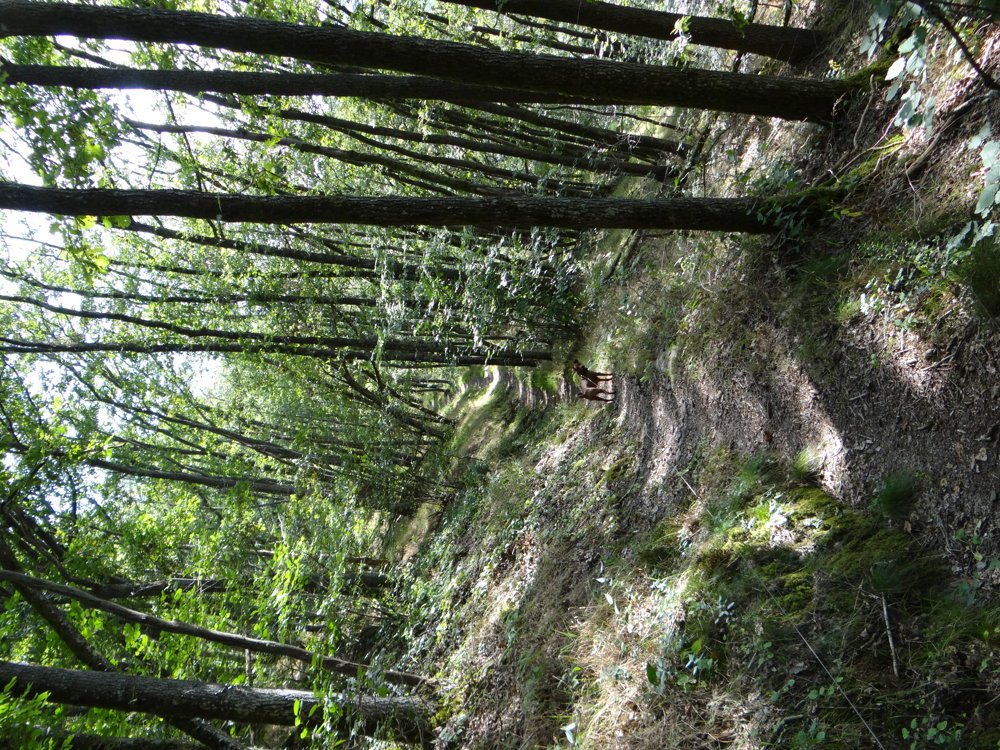
With a total ascent of 436 m, one can call this relatively short walk quite challenging. It runs mostly through cool forests and is therefore an ideal route to do in warm weather.

More photos: https://photos.app.goo.gl/UVisDFBQLRo7a5tm6

Happy hiking,

Eddy, Rita and Prinske

automatic translation

This route does not have any reviews yet. Be the first!
Rate route!

Which POI do you want to show on the map?

Experimental hiking network
Unsigned icon

The route you have chosen runs (partly) along an experimental virtual hiking node network (the blue-coloured nodes and sections on the map).

You must be logged in to plan routes here.

Experimental hiking network
Unsigned icon

The route you have chosen runs (partly) along an experimental virtual hiking node network (the blue-coloured nodes and sections on the map).

These routes are not controlled in the field. Before you start hiking here, take a minute to read what an experimental hiking node network is and what rules you should follow when hiking here.

By clicking 'Accept all cookies,' you agree to the use of cookies for an enhanced user experience, website traffic analysis, and personalized advertisements. Cookie policy