 Hiking
 Login
Login More
More EN
EN Premium
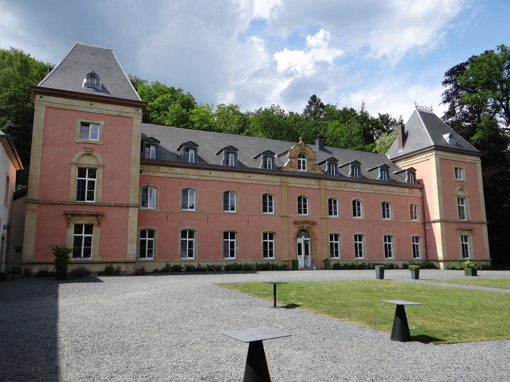
Habay-la-Neuve: The Rulles and Château Du Pont D’Oye
automatic translation
15.1 km • Habay
580 0 0/5

 Addresse starting point (approximate)
Rue Sur La Rulles 2, 6720 Habay-la-Neuve, BE
 signage
The route is partially signposted with thematic signs (no nodes). Use a GPS device or our app to follow the route.
 Description
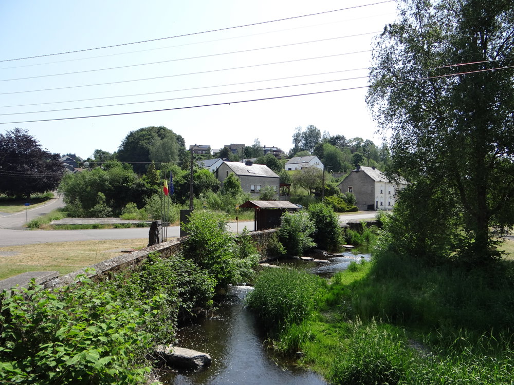
The entire walk takes place through the magnificent Parc Naturel Haute-Sûre Forêt d'Anlier.
We walked the loop clockwise. For the route, we used local walks and GR routes. All paths are easily accessible.
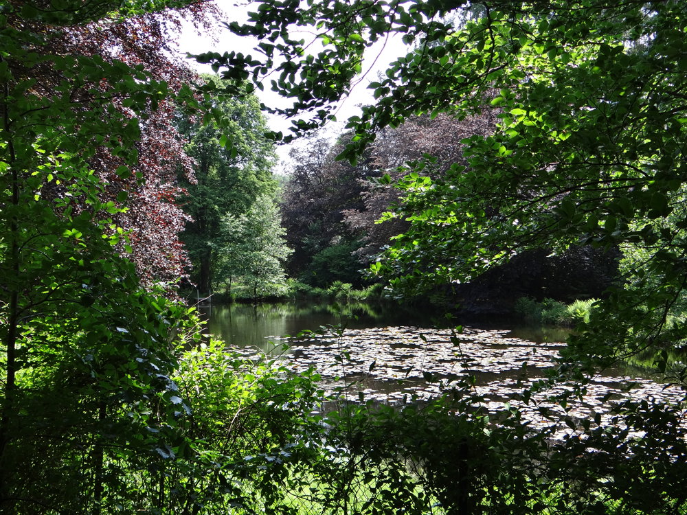
One follows the GR151 along two ponds and through the valley of the L'Arlune. The valley is left behind to reach, via a small passage, a paved road that is followed for 1.6 km. This might be the only downside to this walk. However, the road is low-traffic.
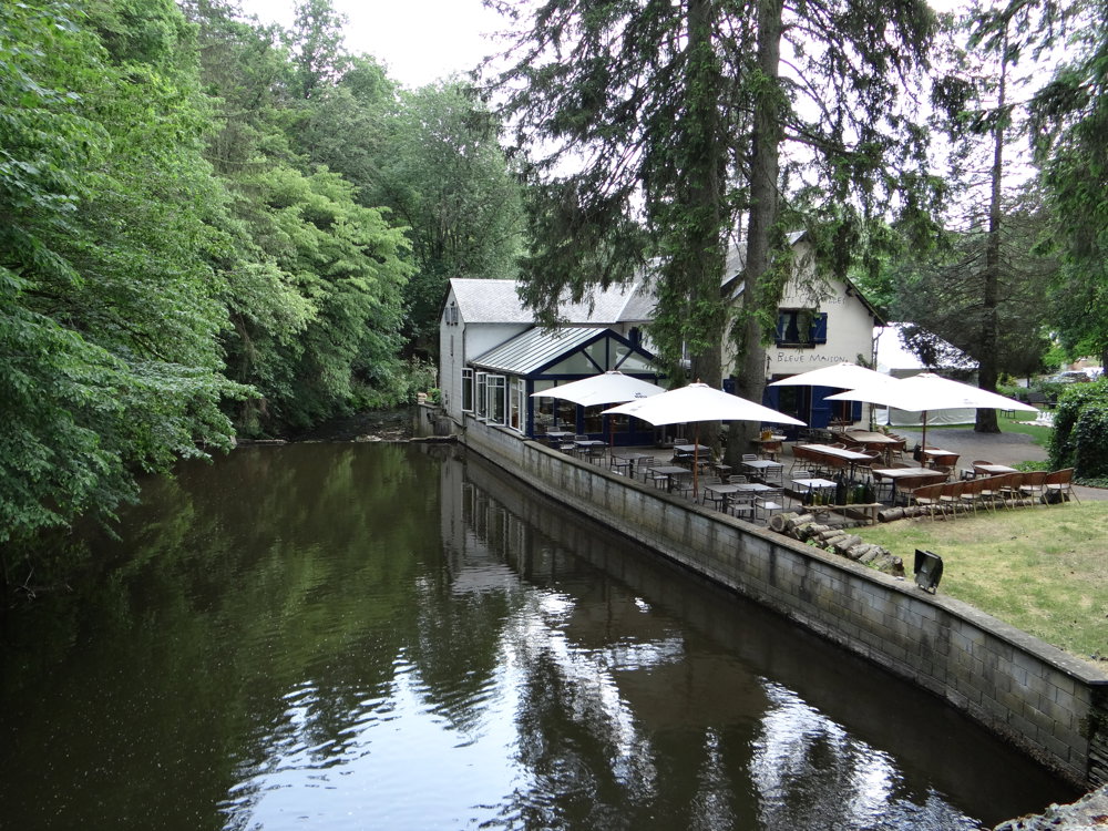
Once the road is left behind, one enters the valley of the Ruisseau de la Fange Jean Simon. A peatland area that can enchant the walker with its beautiful nature and delightful scents. The stream is followed until it flows into La Rulles, a small stream where dams were built for industrial purposes in the past. There is little evidence of industry left; the entire area has been transformed into a magnificent network of walking trails.
More photos: https://photos.app.goo.gl/d9VGgzZNCmcrbxp16
automatic translation
 nodes to follow
0 km
1.1 km
1.2 km

3.6 km
4.9 km
6.2 km
8.3 km
8.4 km
9.9 km
11.2 km
13.6 km
14.7 km
15.1 km


 Upgrade to Premium Plus
