 Hiking
 Login
Login More
More EN
EN Premium
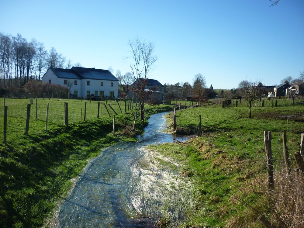
Neffe: Peace Wood Promenade
automatic translation
10.2 km • Bastogne
350 0 0/5

 Addresse starting point (approximate)
Neffe 100, 6600, BE
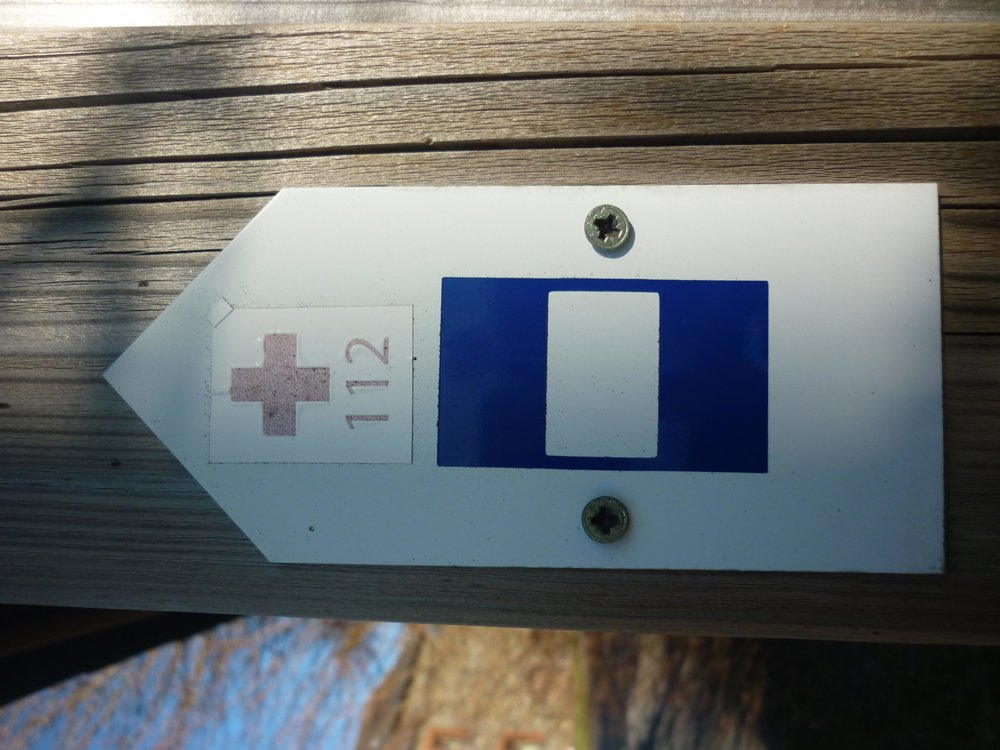
 signage
The route is fully signposted with thematic signs (no nodes).

 Description
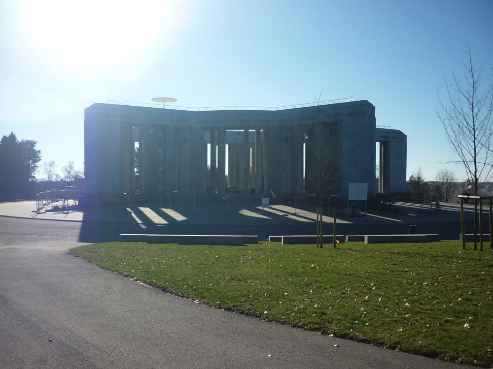
The walk can be easily combined with a visit to the War Museum Bastogne. You can also park and start from there, although the parking is paid.
The forest, which covers an area of 3 hectares, consists of 4000 trees planted in 1994 on the occasion of the fiftieth anniversary of the Battle of the Bulge. These trees are a tribute to the fallen fighters for freedom in our country. Each veteran who returned to Bastogne had the opportunity to choose a tree that would forever bear their name.
From above, the forest forms the UNICEF emblem.
Another attraction is the animal park, connected to the living museum Animalaine, which focuses on wool and traditional crafts. Twenty-five sheep breeds are exhibited there, including some endangered species, as well as other 'woolly' animals. Sparrows and herons can also be found in this park.
More photos: https://photos.app.goo.gl/DmjLGX2bpSVfEbP99
Eddy, Rita, and Prinske
automatic translation
 nodes to follow
0 km
0.1 km
1.7 km

2.8 km
3.7 km
4 km
4.4 km
4.7 km
4.9 km
5.4 km
7.1 km
8 km
8.2 km
10 km
10.1 km
10.2 km


 Upgrade to Premium Plus
