 Hiking
 Login
Login More
More EN
EN Premium
Along forest, chapel, heath and meadow from Bergom
automatic translation
10.4 km • Herselt
5822 1 4.5/5

 Addresse starting point (approximate)
Oude Baan 112, 2230 Herselt, BE
 signage
The route is fully signposted with nodes.
 Description
Park for free in Bergom by the church.
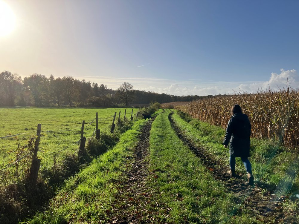
Via small streets and forest paths, where you even pass a Lourdes grotto, you head towards the Varenbroek de Merode, which until 2003 was a private hunting ground of the noble family De Merode (see my walk "nature and castles in the pearl of the Kempen").
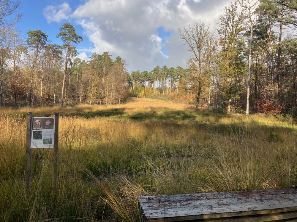
Along some typical field roads, you soon reach the provincial green domain Hertberg (de Merode). Here, constant efforts are made to restore or maintain the alternation between pine and deciduous forest, dry and wet heathland.
At junction 26, you can refresh yourself at the self-service Mie Maan, from where various walking routes for riders, disabled, walkers, cyclists, etc., start.
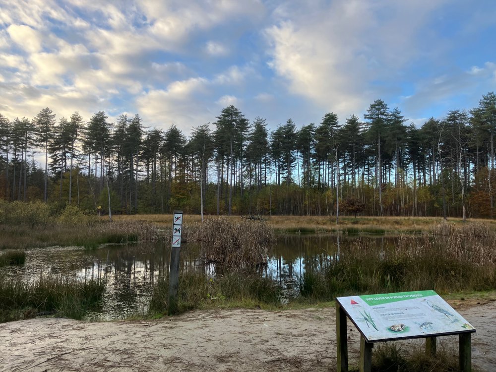
Through some beautiful avenues and past one of the most beautiful ponds between 331 and 29, you return to the buildings of the rural Bergom.
High hiking boots necessary. Dogs welcome on a leash everywhere. (2 off-leash zones for dogs near point 106 and 26)
automatic translation
 nodes to follow
0 km
1 km
1.3 km
1.4 km
2.2 km
2.3 km
3.5 km
3.7 km
4.2 km
5.6 km
5.6 km
5.7 km
5.7 km
6 km
6.6 km
7.8 km
8.3 km
9 km
9.3 km
9.4 km
10.4 km
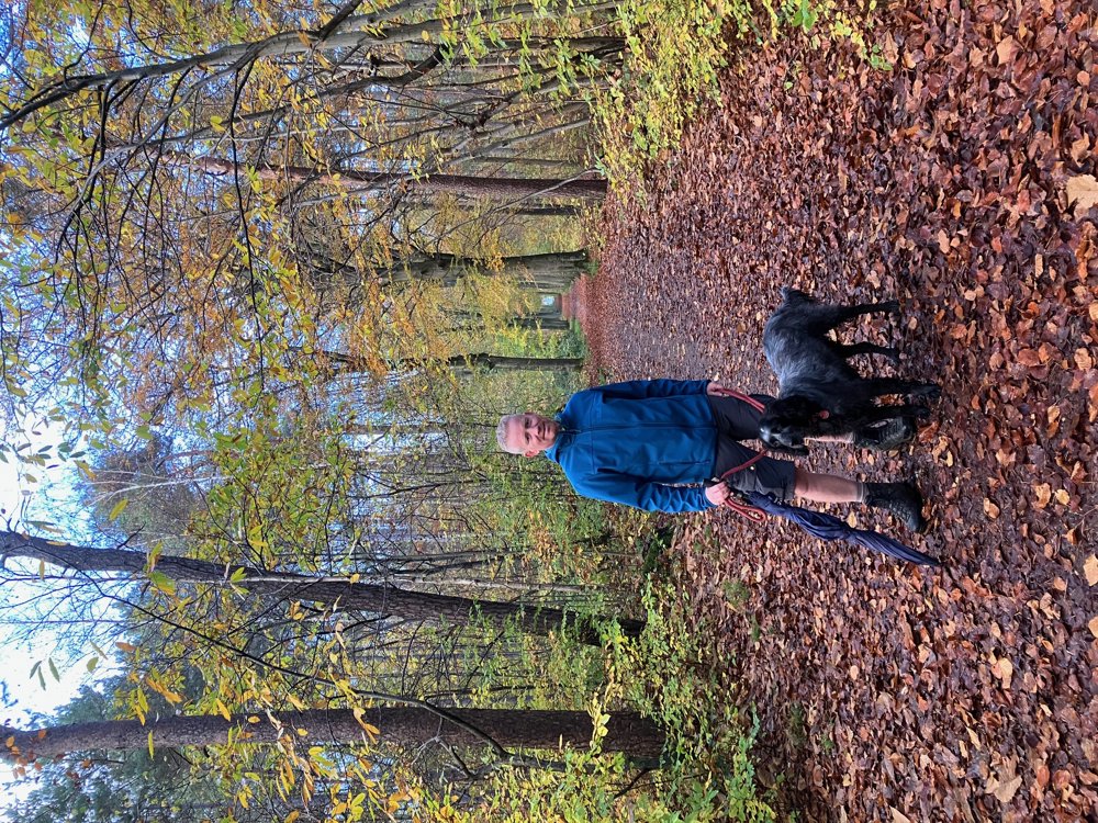
Saturday, March 1, 2025 by Peter WilsFrom the parking lot at the church you are soon in nature. The route runs mostly on wide forest paths that were also used by the machines that perform works in the forest here. Due to the soggy ground, these left deep tracks. But it is a very nice hike. Definitely recommended when the paths have dried up this summer.
automatic translation


 Upgrade to Premium Plus
