 Hiking
 Login
Login More
More EN
EN Premium
Meerhout: path walk
automatic translation
7.4 km • Meerhout
1051 0 0/5

 Addresse starting point (approximate)
Sint Trudoweg 5, 2450 Meerhout, BE
 signage
The route is fully signposted with nodes.
 Description
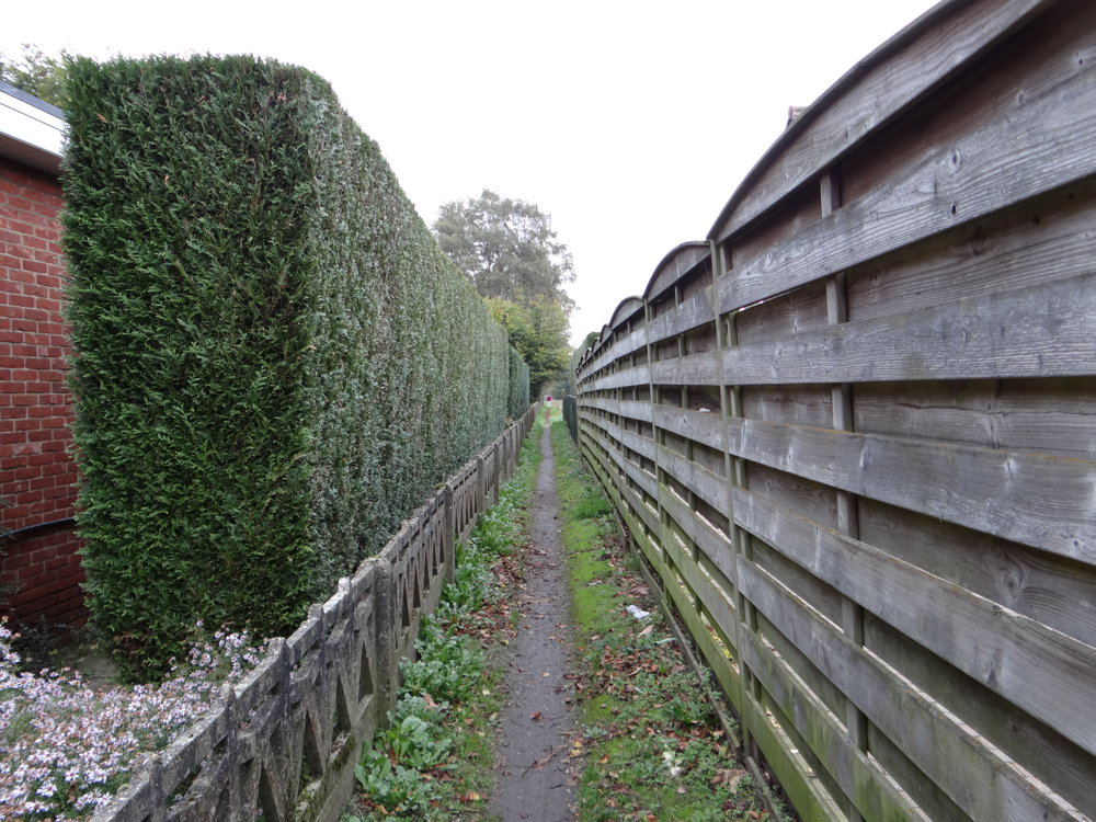
Beautiful waypoint walk that starts at the large free parking lot at the church of Meerhout.
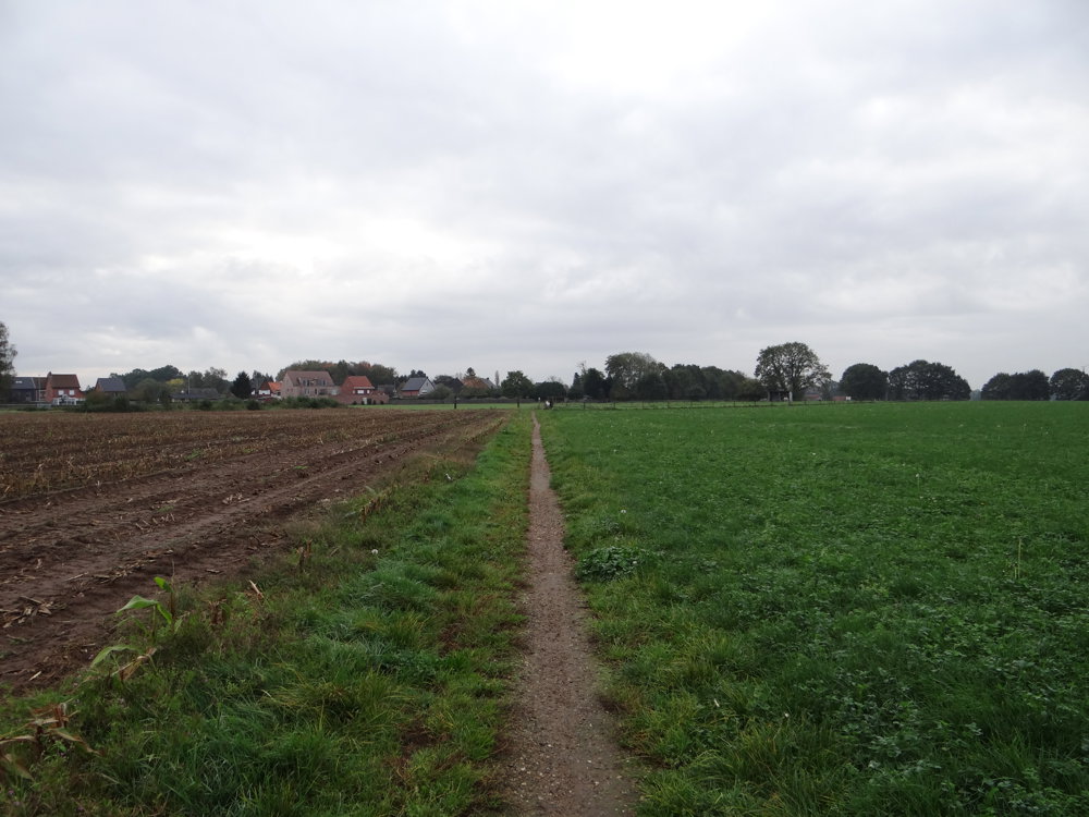
Meerhout is characterized by the narrow paths that cross the fields. Behind every crossroads and in almost every street, one can find such a path. You would want to enter them all. The advantage is that all paths lead towards the church.
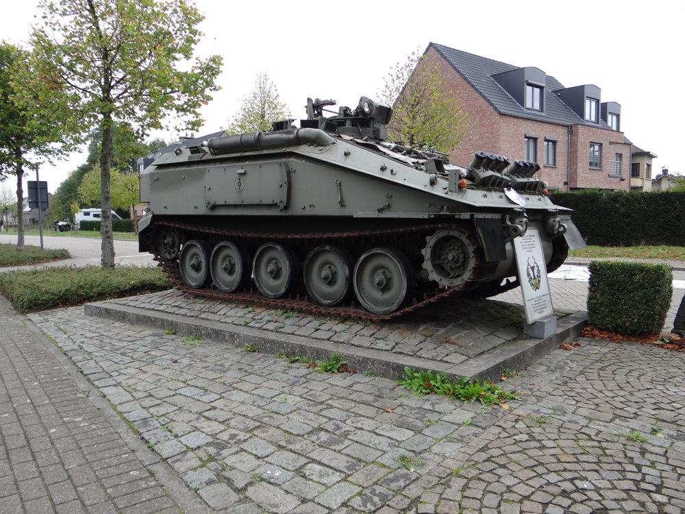
In the vicinity of waypoint 82, at the corner of Bevrijdingslaan and Sportlaan, there is a CVRT - Spartan (tank) as a reminder of the "Liberation of Meerhout during World War II on September 13, 1944, by the 2nd Battalion Gordon Highlanders Scotland".
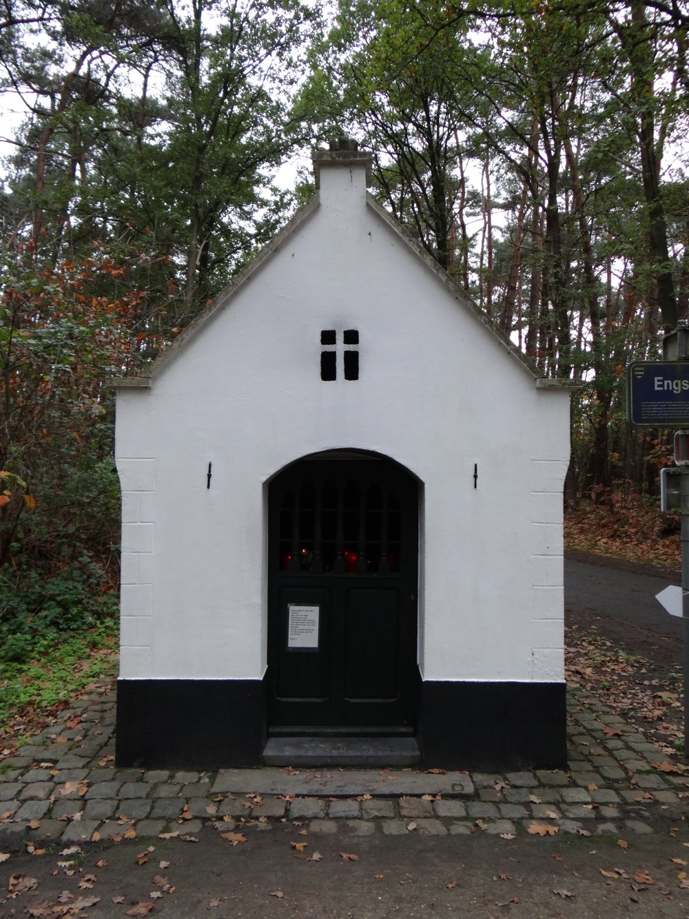
And at waypoint 8, one can see the Chapel Engstraat - 'Our Lady with the Cluster of Grapes'. On the back of the crown that adorns the roof, the year 1890 is written. However, the chapel is even older. The oak statue, Our Lady with the Cluster of Grapes, gave the chapel its name.
More photos: https://photos.app.goo.gl/K4GodXaSDDyQD6tP2
Happy walking,
Eddy, Rita, and Prinske
automatic translation
 nodes to follow
0 km
0.4 km
0.5 km
1.1 km
1.4 km
1.7 km
2.8 km
3.1 km
3.3 km
4.1 km
4.5 km
4.9 km
5.1 km
5.5 km
5.6 km
5.7 km
5.9 km
6.3 km
6.8 km
7.2 km
7.4 km


 Upgrade to Premium Plus
