 Hiking
 Login
Login More
More EN
EN Premium
Grobbendonk: Loop within a loop
automatic translation
10.9 km • Grobbendonk
2421 0 0/5

 Addresse starting point (approximate)
Vorselaarse Baan 2, 2280 Grobbendonk, BE
 signage
The route is fully signposted with nodes.
 Description
This is a loop-in-loop walk. We did this to make the walk longer so that we could enjoy nature a little longer.
During this walk, one comes across various sights:
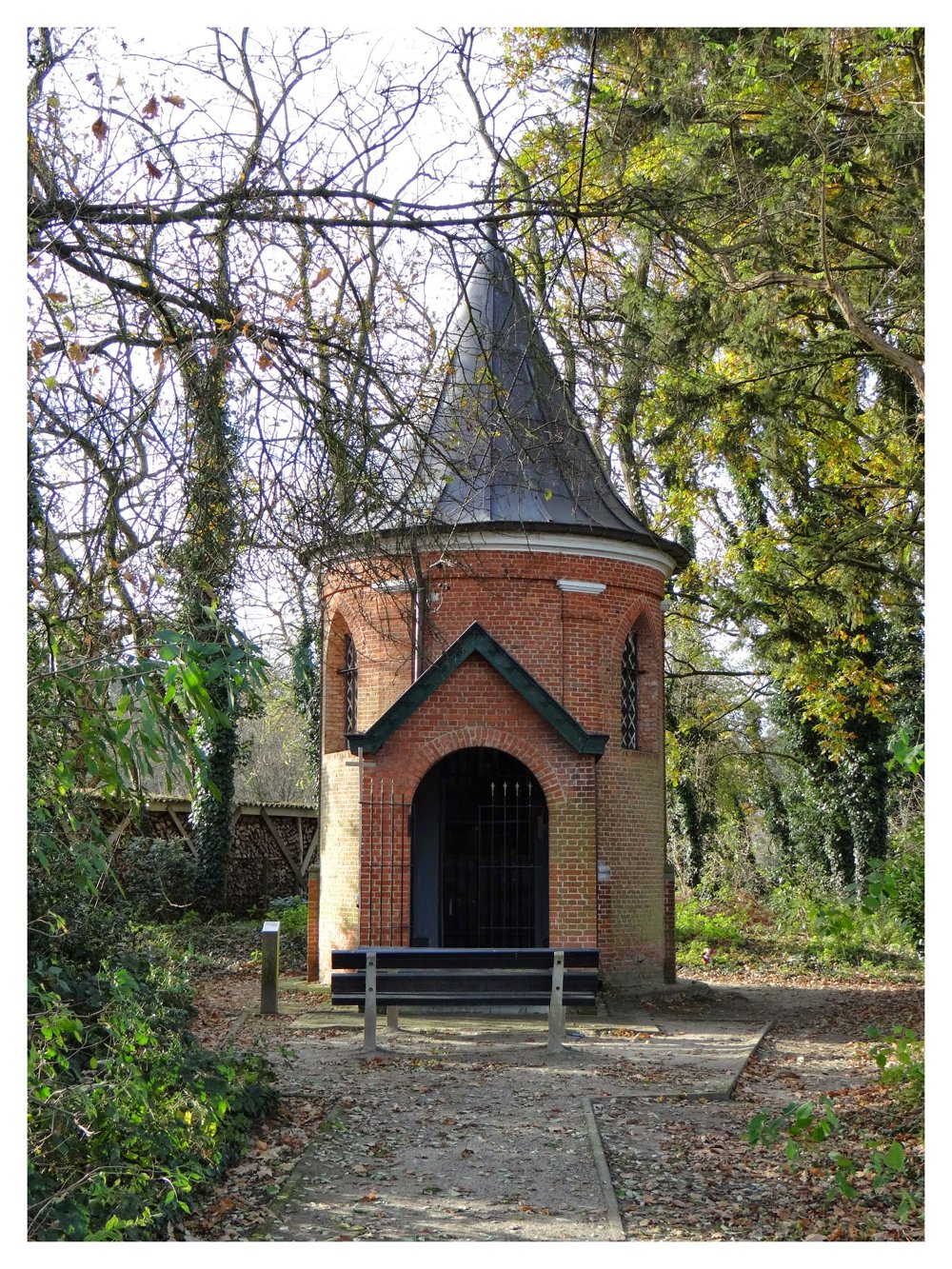
* Chapel of Boshoven. This chapel existed before 1897. It is built on or near the choir of the old church of Ouwen.
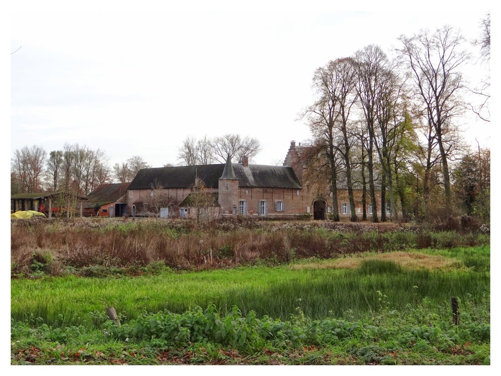
* Castle Grobbendonk. Castle Grobbendonk is a former castle in the Antwerp city of Grobbendonk. Only the forecourt of this castle has been preserved.
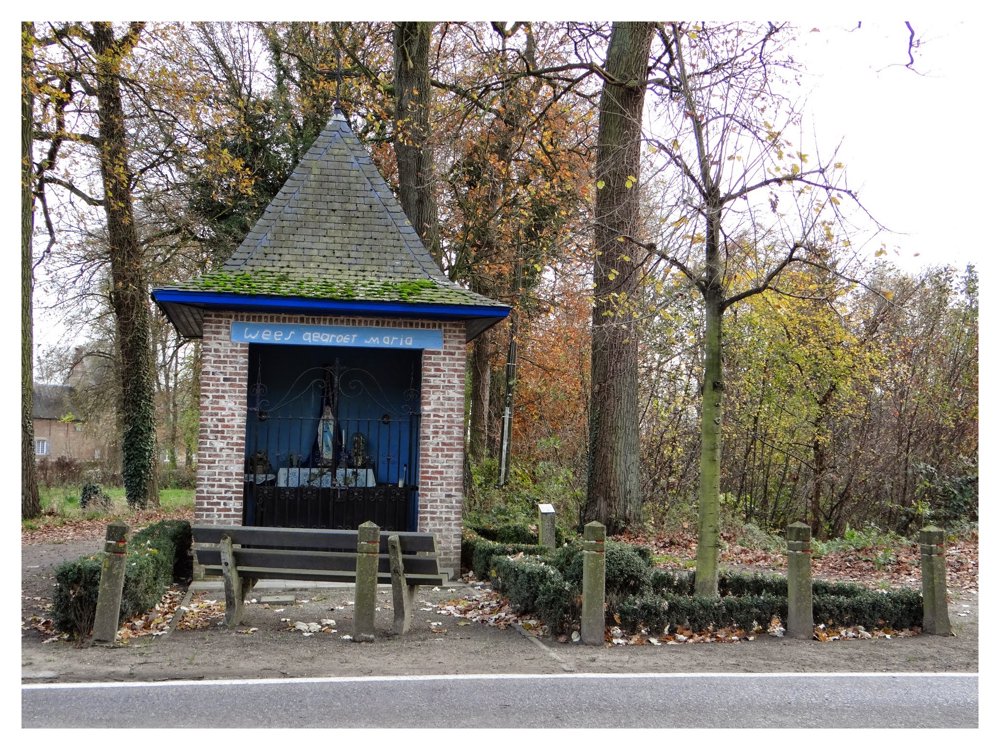
* Chapel Hofeinde. On the driveway to the castle, there used to be a small wooden chapel on a wooden post, surrounded by a beech hedge.
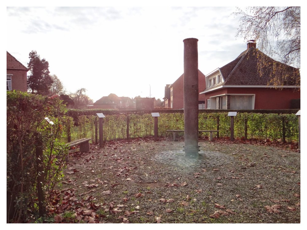
* The pillory. A document from 1414 mentions the existence of the pillory in Grobbendonk. It concerns the execution of a farmhand at ‘the stake’ in Grobbendonk. He had raped a local damsel.
More photos: https://photos.app.goo.gl/V44QpLCpPdvriR5X8
Happy walking,
Eddy, Rita, and Prinske
automatic translation
 nodes to follow
0 km
0.8 km
1.3 km
1.4 km
1.5 km
1.9 km
2.3 km
2.4 km
2.4 km
3.2 km
3.6 km
4.1 km
4.6 km
5 km
5.4 km
5.6 km
6.2 km
6.7 km
6.9 km
7.5 km
8.2 km
8.6 km
9 km
9.4 km
9.6 km
9.8 km
10.1 km
10.9 km


 Upgrade to Premium Plus
