 Hiking
 Login
Login More
More EN
EN Premium
Station Walk Tielen > Herentals 2
automatic translation
14.3 km • Kasterlee
1290 0 0/5

 Addresse starting point (approximate)
Stationsplein 19, 2460 Kasterlee, BE
 signage
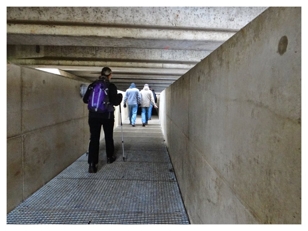
The route is fully signposted with nodes.
 Description
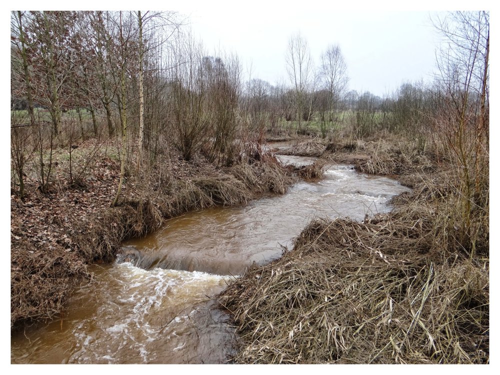
Attention! Between nodes 49-57-33, there may be a risk of boggy paths and flooding during wet periods.
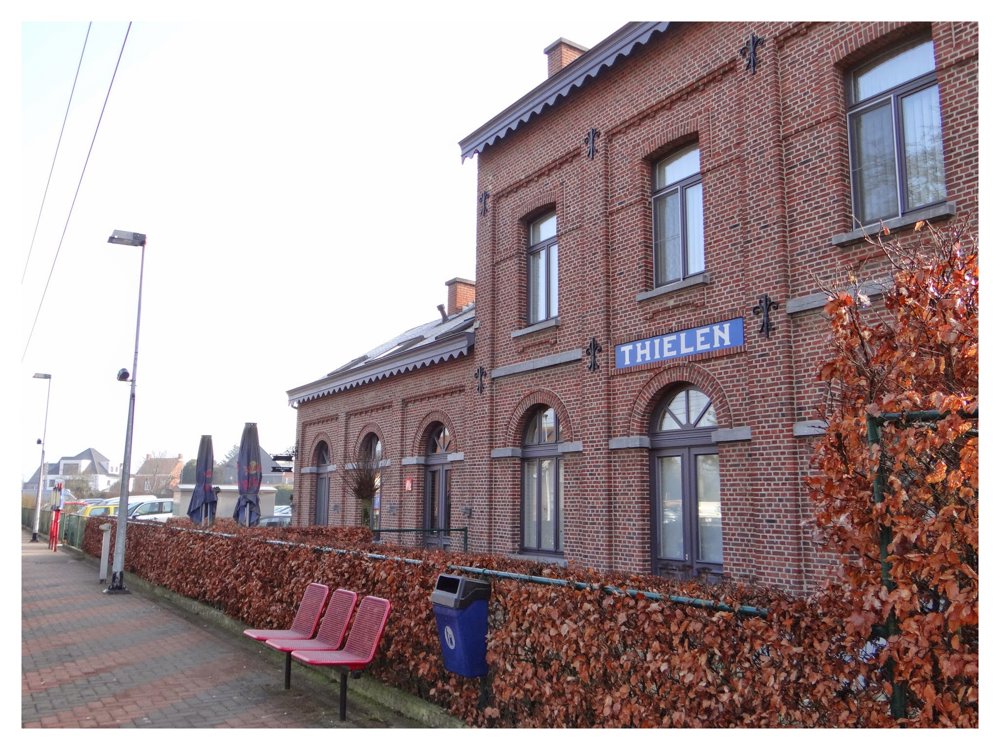
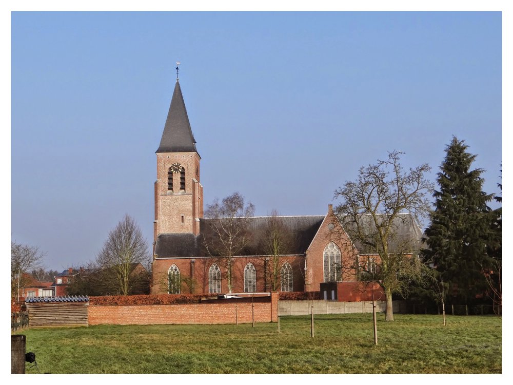
The walk starts at the stop of 'Tielen' towards 'Tielendorp', then follow the 'Broekstraat' up to the level crossing, which is crossed to follow the 'Schorredonken'. On 'Schorredonken', we immediately get a beautiful view of the rural surroundings.
Once 'Schorredonken' is finished, the walk briefly follows the lovely 'Grote Kaliebeek' to turn left via 'Cawinkel' back to the railway. After this short route on the northwest side of the 'Herentals-Turnhout' railway, we follow the rest of the route along the southeast side of the railway.
More photos: https://photos.app.goo.gl/Qehzg3t4FJszQSUH9
Happy walking,
Eddy, Rita and Prinske
automatic translation
 nodes to follow
0 km

0.2 km
0.2 km
0.5 km
2.6 km
3.8 km
4.2 km
4.7 km
6.5 km
7 km
7.2 km
8.2 km
8.5 km
9.3 km
9.7 km
10.1 km
10.5 km
10.9 km
11.2 km
12 km
12.5 km
12.7 km
13.8 km
14 km

14.3 km


 Upgrade to Premium Plus
