 Hiking
 Login
Login More
More EN
EN Premium
Lille: Eight Beatitudes
automatic translation
14.7 km • Lille
5871 0 0/5

 Addresse starting point (approximate)
Hemeldonk 58, 2275 Lille, BE
 signage
The route is fully signposted with nodes.
 Description
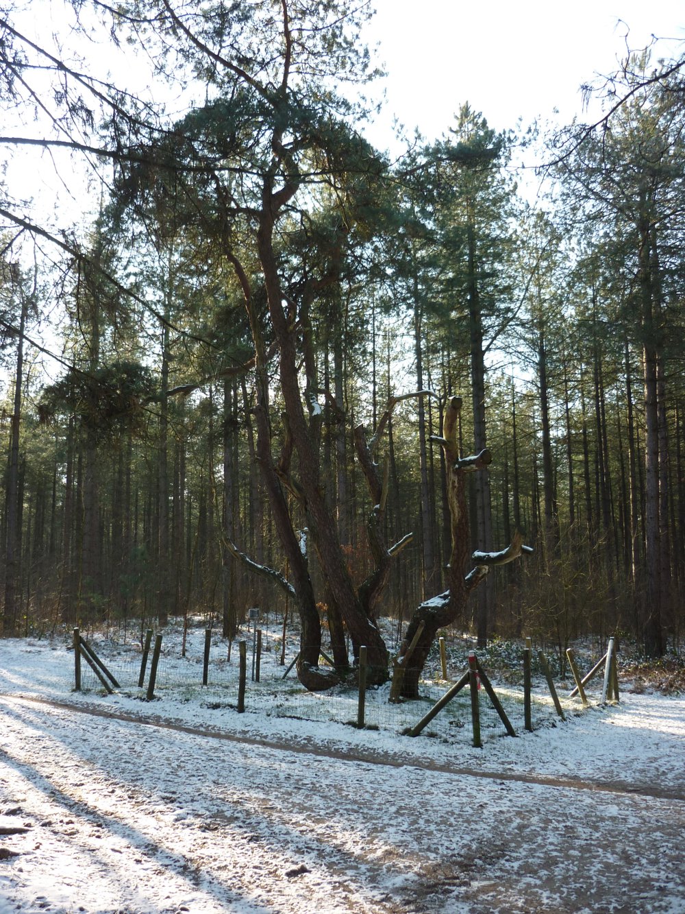
This route passes by the Achtzalighedenboom, which is located between junctions 89 and 92.
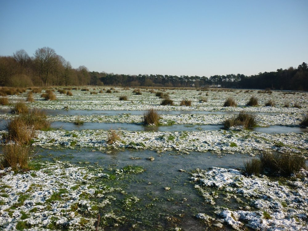
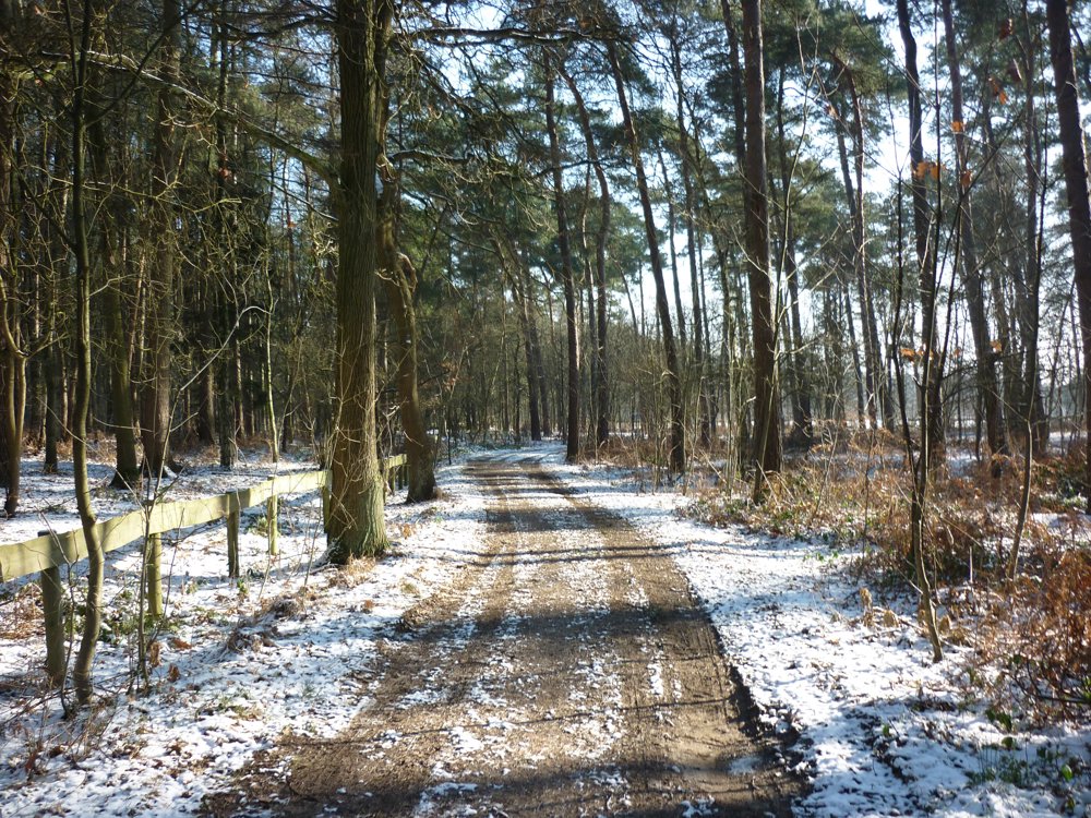
The route is almost entirely unpaved. The tree, named after the eight beatitudes of Christ, derives its name from the original eight tribes. During the war, a German tried to saw a trunk at night to use the tree as firewood, but a sudden thunderstorm with heavy thunder and lightning scared him off, leaving the rest of the tree untouched.
More info about the tree: https://www.lille.be/content/detail/80/achtzalighedenboom
More photos: https://photos.app.goo.gl/W1PxfEStfq4RxsLv5
Happy hiking,
Eddy, Rita, and Prinske
automatic translation
 nodes to follow
0 km
0.7 km
0.8 km
0.8 km
1.1 km
2.1 km
3.1 km
4.5 km
4.7 km
5 km
5.9 km
6.5 km
7.8 km
8.7 km
9.3 km
10.5 km
10.7 km
10.9 km
10.9 km
11.1 km
12.5 km
12.8 km
14.7 km


 Upgrade to Premium Plus
