 Hiking
 Login
Login More
More EN
EN Premium
Meerhout > Balen-Volsbergen Forests
automatic translation
8.3 km • Meerhout
1000 0 0/5

 Addresse starting point (approximate)
Volmolenweg 25, 2450 Meerhout, BE
 signage
The route is fully signposted with nodes.
 Description
Beautiful junction walk that starts at B&B Het Verloren Schaep in Meerhout.
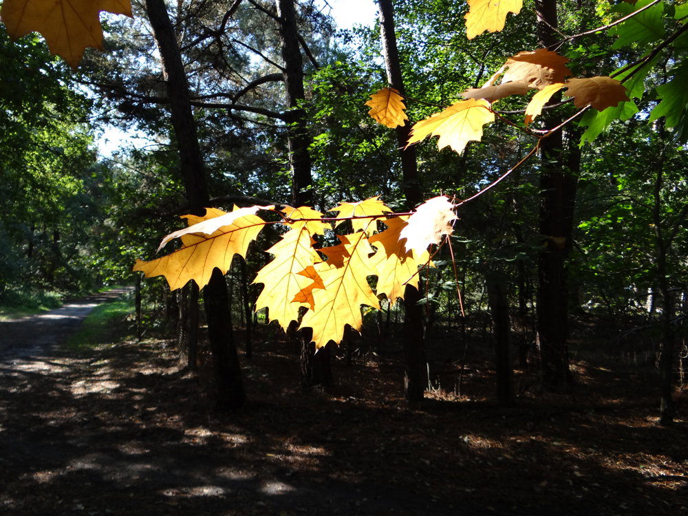
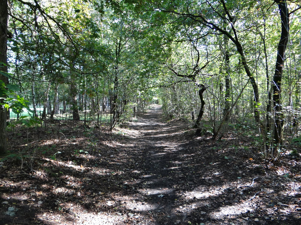
We cross the N110 to return to that same N110 via a small detour along Grees and the Greesloopstraat, which is then followed for a short stretch before diving into the Volsbergenbossen in Balen.
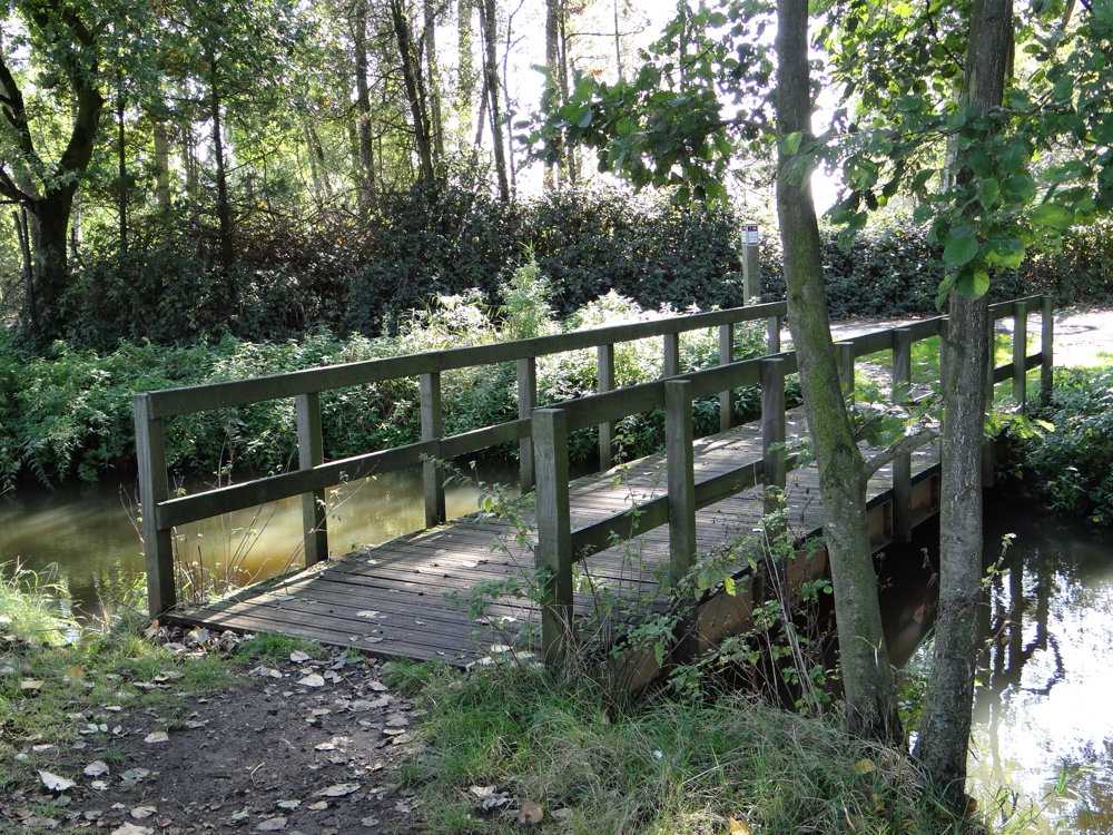
One stays in the woods until nearly reaching the Grote Nete. This is crossed via the Savelbrug. The Grote Nete is followed for a while after which one goes through the fields towards Lil.
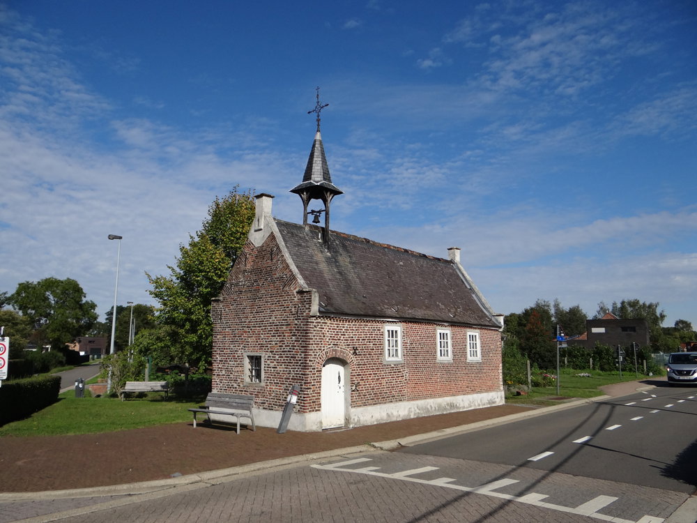
At Lil, one turns right to walk the Brigandstraat near the lovely simple St-Elisabeth Chapel. Via the Brigandstraat, one passes by the dog school De Natte Neuzen in Meerhout, where one crosses the N110 again to return to the starting point via the Volmolenweg.
More photos: https://photos.app.goo.gl/zwrSeFHus4fQDfVV7
Happy walking,
Eddy, Rita, and Prinske
automatic translation
 nodes to follow
0 km
0.9 km
2.3 km
2.8 km
3 km
3.3 km
3.3 km
4 km
4.9 km
5.6 km
5.7 km
6.5 km
7 km
8.3 km


 Upgrade to Premium Plus
