Loading...

Vorst-Laakdal: natural area Biezenhoed

automatic translation

15.5 km • Laakdal

10 0 0/5

15.5 km 0.0 km 0.0 km

route offered by

Eddy & Rita

Icon starting point Addresse starting point (approximate)

Lindestraat 13, 2430 Laakdal, BE

Icon type signage of route signage

The route is fully signposted with nodes.

5m 5m 5m 5m
Atmosphere image 1 of route Vorst-Laakdal: natural area Biezenhoed Atmosphere image 2 of route Vorst-Laakdal: natural area Biezenhoed Atmosphere image 3 of route Vorst-Laakdal: natural area Biezenhoed
© Eddy & Rita

Icon description route Description

During wet periods, there is a risk of muddy paths and flooding between KP 170-328-333!

A beautiful and varied walk that stretches over both paved and unpaved roads.

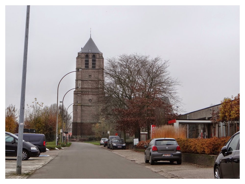
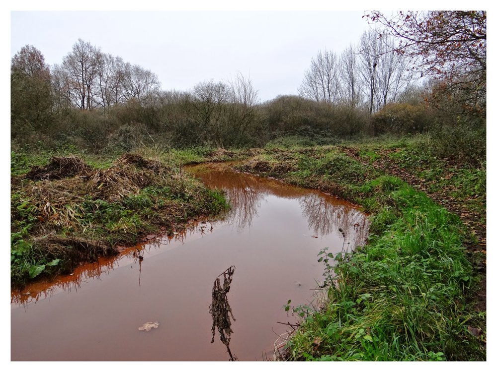
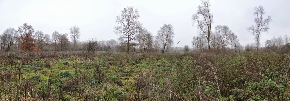
We started our walk at the Vorst library and followed the route clockwise. At the start, we immediately cross the Grote Laak, which we cross again after about 3.5 km at the Veerle water tower. Shortly after, we follow the Kleine Laak through the beautiful Biezenhoed nature reserve.

More photos: https://photos.app.goo.gl/B9CsL3Q4w3T6tHNv5

Happy walking,
Eddy, Rita, and Prinske

automatic translation

Icon nodes to follow nodes to follow

Image node 347
0 km
Image node 360
2.2 km
Image node 198
2.3 km
Image node 173
3.6 km
Image node 168
4.5 km
Image node 169
5.1 km
Image node 170
5.1 km
Image node 328
6.7 km
Image node 333
8.1 km
Image node 215
8.8 km
Image node 221
9.6 km
Image node 223
10.6 km
Image node 224
12.1 km
Image node 191
12.8 km
Image node 347
15.5 km
This route does not have any reviews yet. Be the first!
Rate route!

Which POI do you want to show on the map?

Experimental hiking network
Unsigned icon

The route you have chosen runs (partly) along an experimental virtual hiking node network (the blue-coloured nodes and sections on the map).

You must be logged in to plan routes here.

Experimental hiking network
Unsigned icon

The route you have chosen runs (partly) along an experimental virtual hiking node network (the blue-coloured nodes and sections on the map).

These routes are not controlled in the field. Before you start hiking here, take a minute to read what an experimental hiking node network is and what rules you should follow when hiking here.