Loading...

The Tikkebroeken and Priorij Corsendonk

automatic translation

20.5 km • Oud-Turnhout

00 0 0/5

20.5 km 0.0 km 0.0 km

route offered by

Jan Theunis

Icon starting point Addresse starting point (approximate)

Corsendonk 2, 2360 Oud-Turnhout, BE

Icon type signage of route signage

The route is fully signposted with nodes.

5m 5m 5m 5m
Atmosphere image 1 of route The Tikkebroeken and Priorij Corsendonk Atmosphere image 2 of route The Tikkebroeken and Priorij Corsendonk Atmosphere image 3 of route The Tikkebroeken and Priorij Corsendonk
© Jan Theunis

Icon description route Description

Parking: Oud Turnhout: Corsendonk, opposite “Restaurant Godin.”

Signposting: Junction points.

First 4.5 km walking on a concrete road, then alternately through forest, meadows, and paved roads.

Many open sections with now and then a forest, the forest walks are enjoyable to walk.

Rest benches: among others at 5.8 / 7.3 / 12.9 / 13.3 / 16.3 and 17 km.

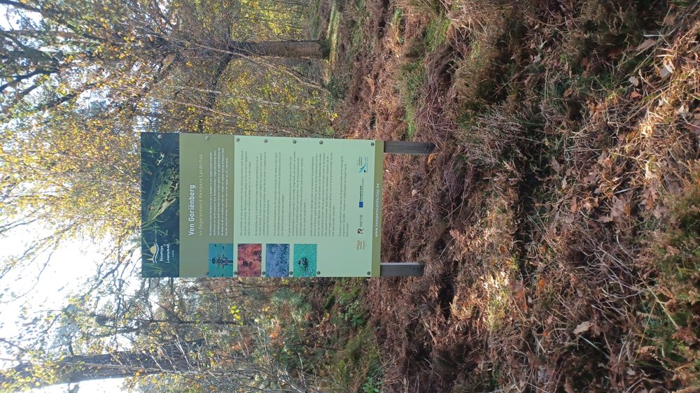
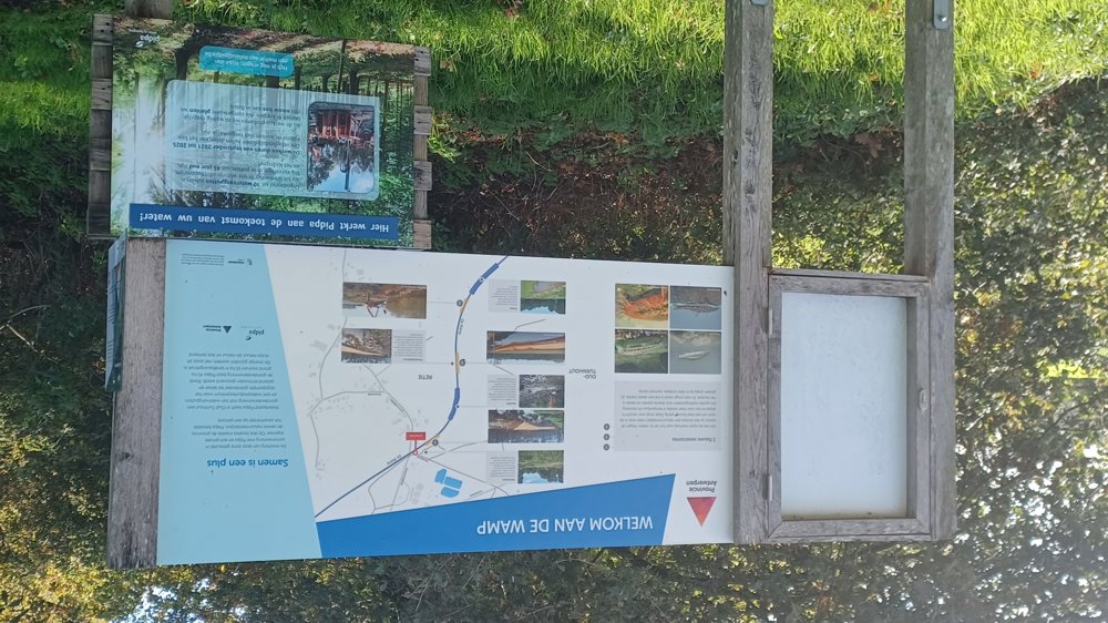
Sightseeing: Priory Corsendonk.

Catering: At the start/finish point.

automatic translation

Icon nodes to follow nodes to follow

Icon start route
0 km
Icon deviation route
0 km
Image node 82
1 km
Image node 3
3.1 km
Image node 52
5 km
Image node 53
5.5 km
Image node 80
6.4 km
Image node 55
8.5 km
Image node 81
9.3 km
Image node 57
10.3 km
Image node 92
12.3 km
Image node 99
13.1 km
Image node TP
13.2 km
Icon deviation route
13.3 km
Icon deviation route
13.4 km
Icon deviation route
13.7 km
Image node 91
14 km
Image node 78
14.9 km
Image node 90
16 km
Image node 89
16.4 km
Image node 88
17 km
Image node 86
17.5 km
Image node 30
18.5 km
Image node 85
19 km
Image node 84
19.6 km
Image node 83
20.5 km
This route does not have any reviews yet. Be the first!
Rate route!

Which POI do you want to show on the map?

Experimental hiking network
Unsigned icon

The route you have chosen runs (partly) along an experimental virtual hiking node network (the blue-coloured nodes and sections on the map).

You must be logged in to plan routes here.

Experimental hiking network
Unsigned icon

The route you have chosen runs (partly) along an experimental virtual hiking node network (the blue-coloured nodes and sections on the map).

These routes are not controlled in the field. Before you start hiking here, take a minute to read what an experimental hiking node network is and what rules you should follow when hiking here.