 Hiking
 Login
Login More
More EN
EN Premium
Ravels Kampheide
automatic translation
16.1 km • Ravels
2170 0 0/5

 Addresse starting point (approximate)
Raaftuinweg 4, 2380 Ravels, BE
 signage
The route is fully signposted with nodes.
 Description
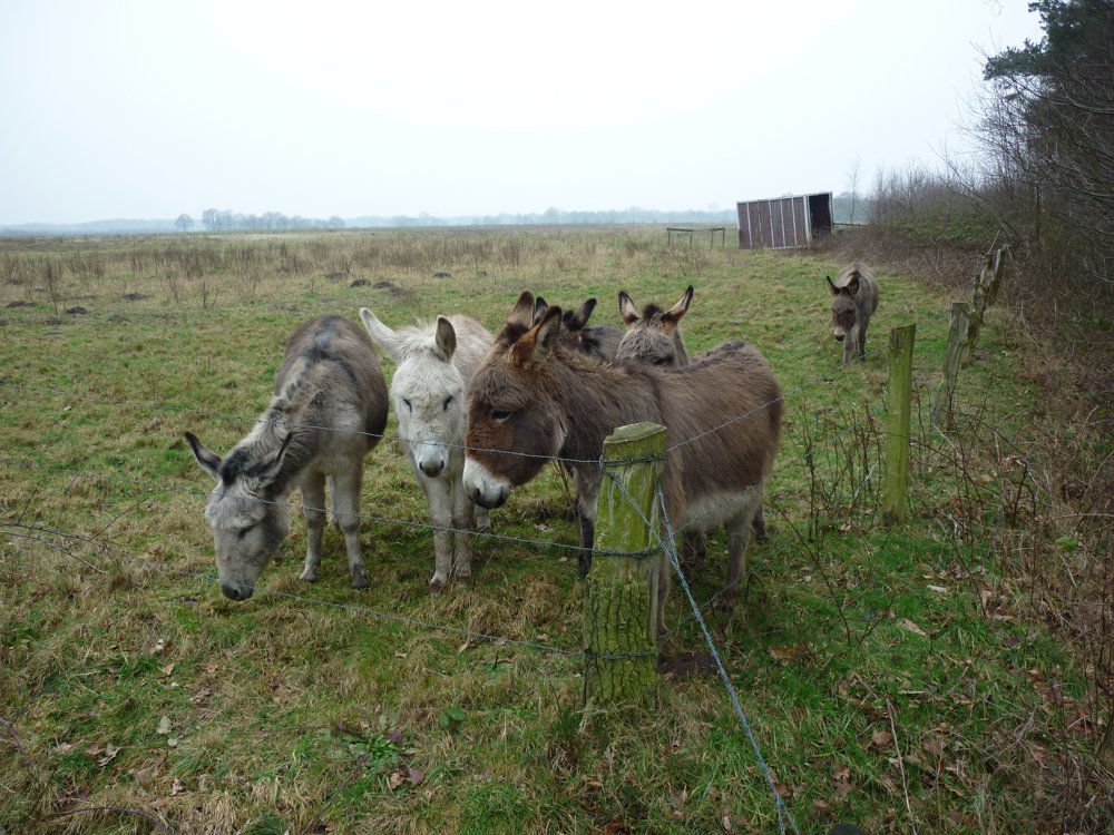
A beautiful and varied hiking tour.
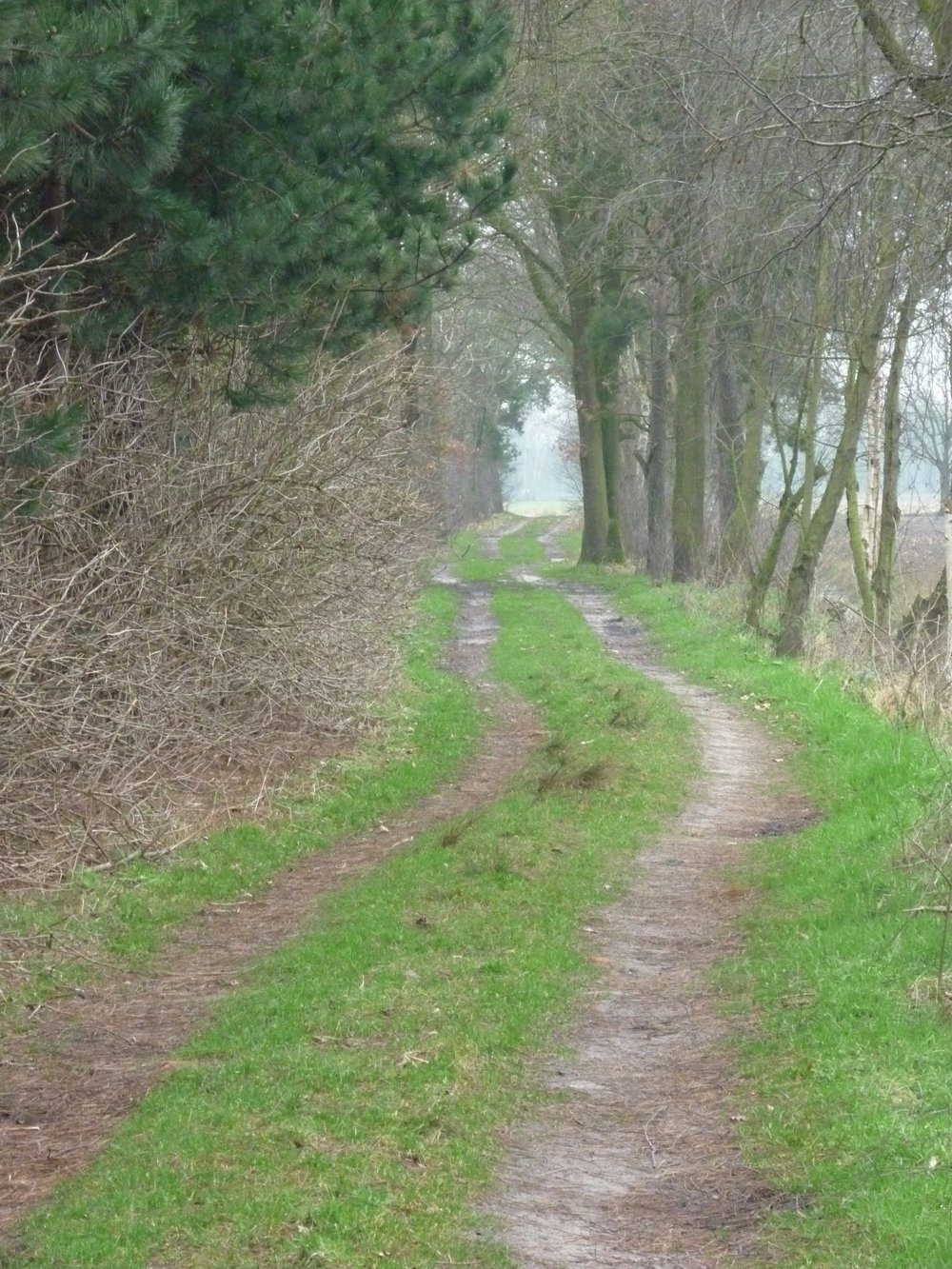
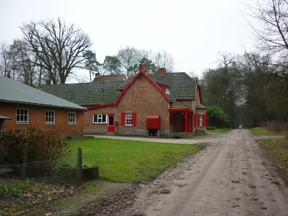
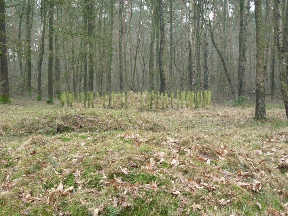
The names Kampheide and Ravelskamp refer to the nearby NATO airfield, where nowadays only gliders take off. The route leads through a forested area in Ravels, also known as the Pier village. It is part of one of the quietest regions that the Kempen has to offer. Along the way, we pass country roads, small lakes, and even a prehistoric burial mound.
Did you know that Ravelskamp played an important role in the formation of Belgium? At the time of King William II of the Netherlands, up to 10,000 soldiers were stationed here.
More photos: https://photos.app.goo.gl/HiwgKz19AEmotbky5
Happy hiking,
Eddy, Rita and Prinske
automatic translation
 nodes to follow
0 km
0.5 km
0.7 km
0.8 km
1.5 km
2 km
2.5 km
3.1 km
4.5 km
4.8 km
5.3 km
7.5 km
8 km
9 km
9.4 km
10.4 km
10.6 km
11.2 km
12.4 km
13 km
13.8 km
15.3 km
16.1 km


 Upgrade to Premium Plus
