 Hiking
 Login
Login More
More EN
EN Premium
Retie: Sassen Walk
automatic translation
11.4 km • Mol
3080 0 0/5

 Addresse starting point (approximate)
Europawijk 100, 2400 Mol, BE
 signage
The route is fully signposted with nodes.
 Description
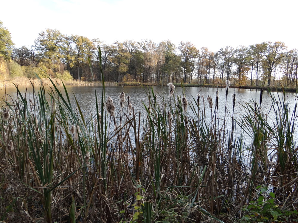
Beautiful, varied nature junction walk that starts at Castelsebaan in Mol.
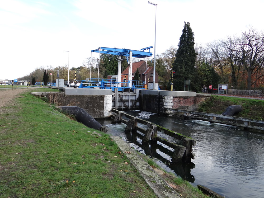
It passes by lock 7 in Geel. The canal is crossed via a bridge that is only accessible for slow traffic.
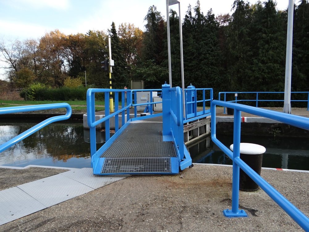
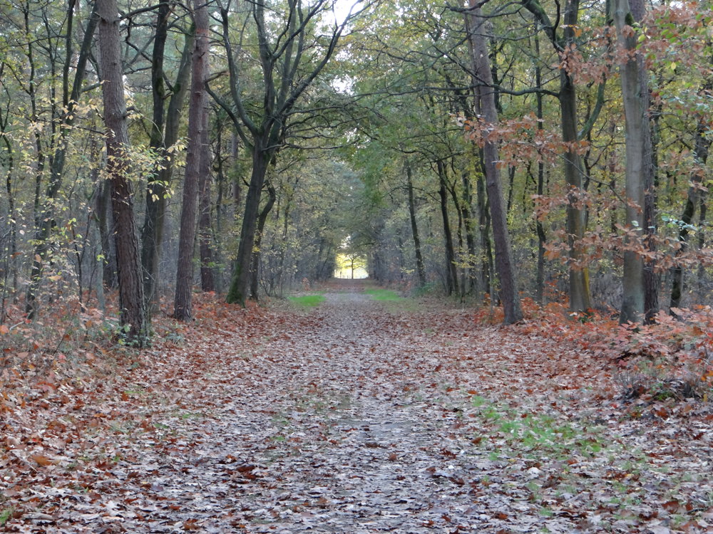
The walk continues through the rural surroundings to the Prinsenpark in Retie, which we briefly follow along the edge to return to the Canal from Bocholt to Herentals. At lock 6 in Mol - where there is also a dining place called Sas 6 - the canal is crossed via the lock gates. Subsequently, one follows the Boeretang for a while to dive into the beautiful woods of SCK*CEN/VITO, coming back 3 km later onto the Castelsebaan, which is followed for a bit to complete the loop.
The walk also follows a section of the beautiful Regional Trail-GR Mol-om. This is marked with a red-yellow sign.
More photos: https://photos.app.goo.gl/wBzExLQo7a6ZvVCK7
Enjoy the walk,
Eddy, Rita, and Prinske
automatic translation
 nodes to follow
0 km
0.5 km
1.2 km
1.5 km
3.2 km
4.3 km
4.3 km
4.4 km
5.2 km
7.8 km
8.4 km
8.6 km
9.1 km
9.3 km
9.7 km
9.8 km
10.4 km
10.6 km
10.9 km
11.4 km


 Upgrade to Premium Plus
