 Hiking
 Login
Login More
More EN
EN Premium
Retie: Prinsenpark and surroundings
automatic translation
11.7 km • Retie
3431 0 0/5

 Addresse starting point (approximate)
Kastelsedijk 5, 2470 Retie, BE
 signage
The route is fully signposted with nodes.
 Description
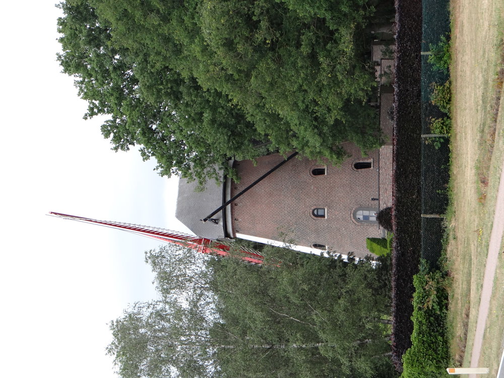
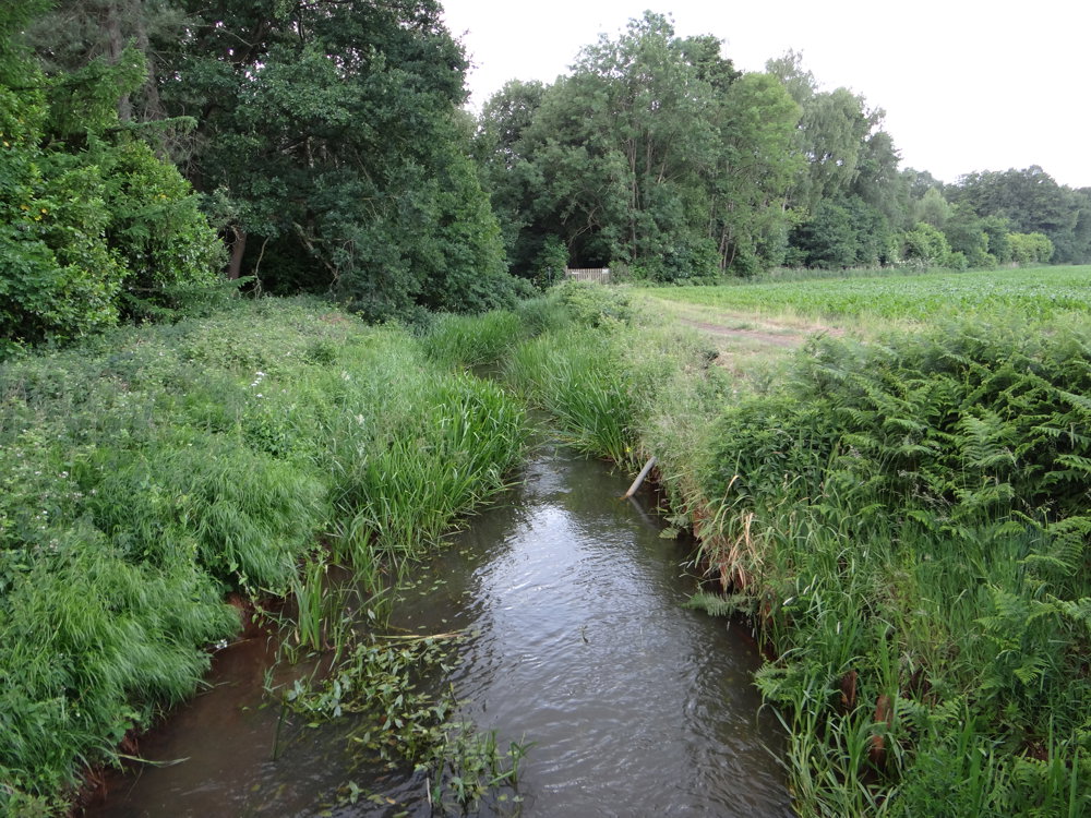
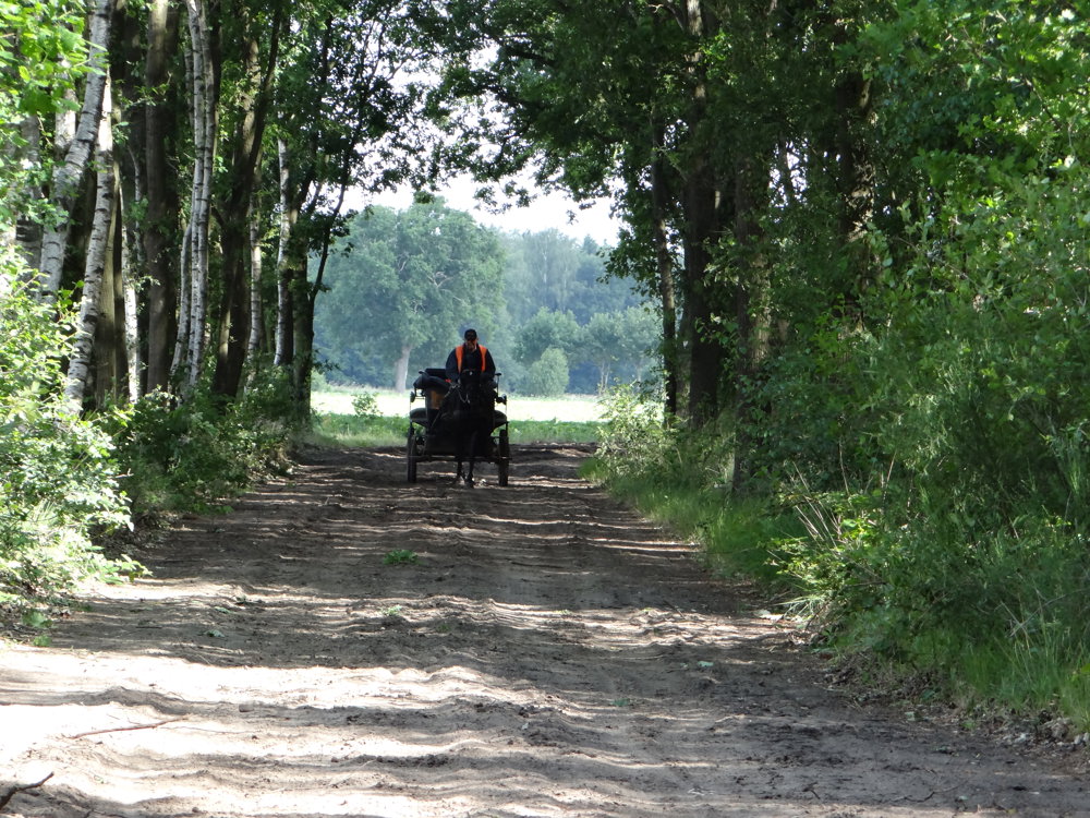
Beautiful varied rural network walk that starts from the parking lot of the beautiful Prinsenpark in Retie.
About the Prinsenpark, provincieantwerpen.be writes the following: "Geelse Aart/Aard, Royal Domain, Prinsenpark… behind all these names hides a glorious past. Until the middle of the 19th century, the Kempen mainly consisted of an immense heath. Each village owned a communal land, a vague terrain. All the residents could herd their livestock (mainly sheep), gather heather, chop wood, and cut turf for fuel. The use of the land was subject to strict regulations."
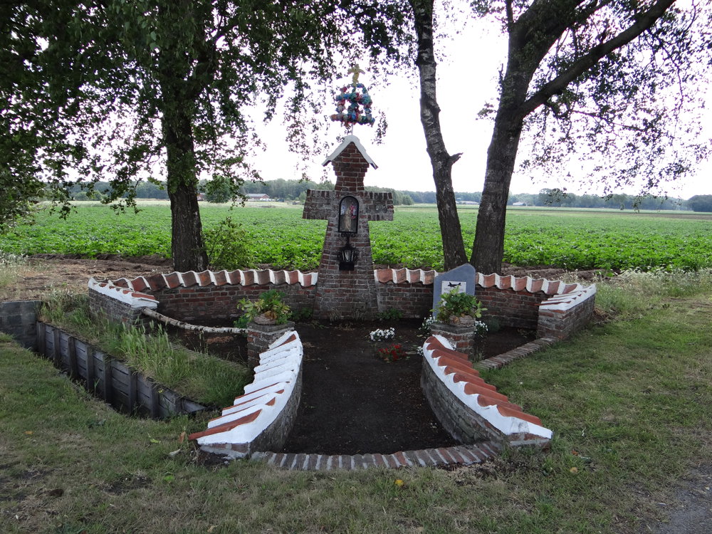
The area outside the park is also worth exploring on foot.
More photos: https://photos.app.goo.gl/WCRCGUWZG5k48tsi7
Happy walking,
Eddy, Rita and Prinske
automatic translation
 nodes to follow
0 km
0.9 km
2.5 km
4.3 km
4.8 km
5.2 km
6.6 km
7.1 km
8.2 km
9.5 km
10 km
10.6 km
11.5 km
11.6 km
11.7 km


 Upgrade to Premium Plus
