 Hiking
 Login
Login More
More EN
EN Premium
Herenthout: to the Grote Nete and back
automatic translation
11.5 km • Herenthout
1280 0 0/5

 Addresse starting point (approximate)
Langstraat 171, 2270 Herenthout, BE
 signage
The route is fully signposted with nodes.
 Description
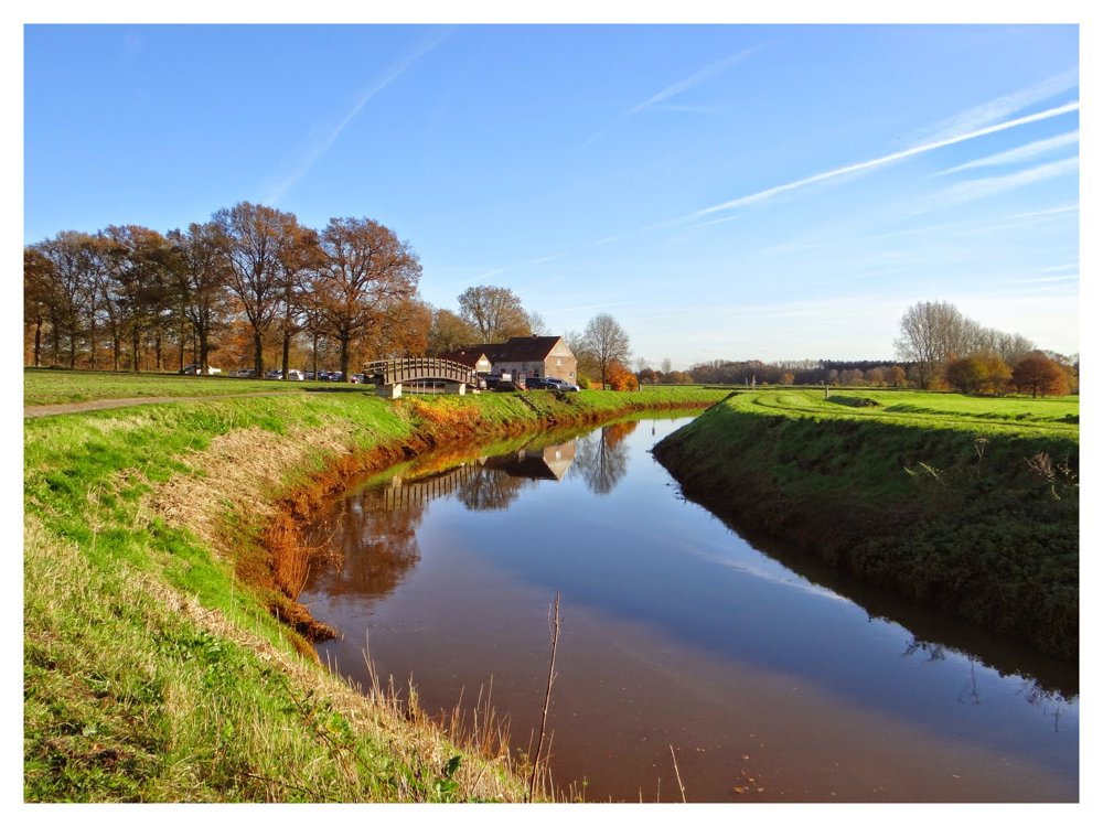
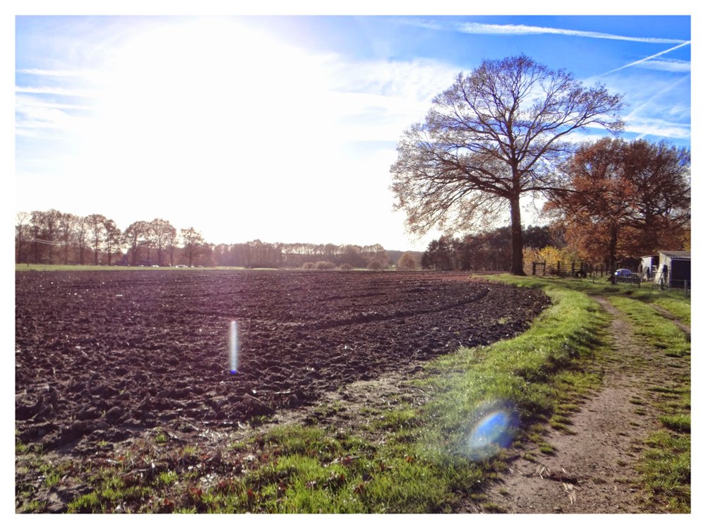
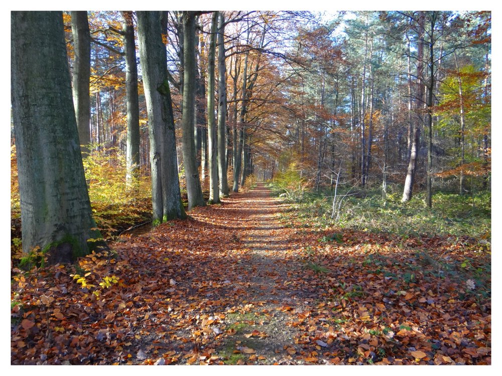
On this beautiful circular walk, one heads towards the Grote Nete to walk a bit along the shore and then return.
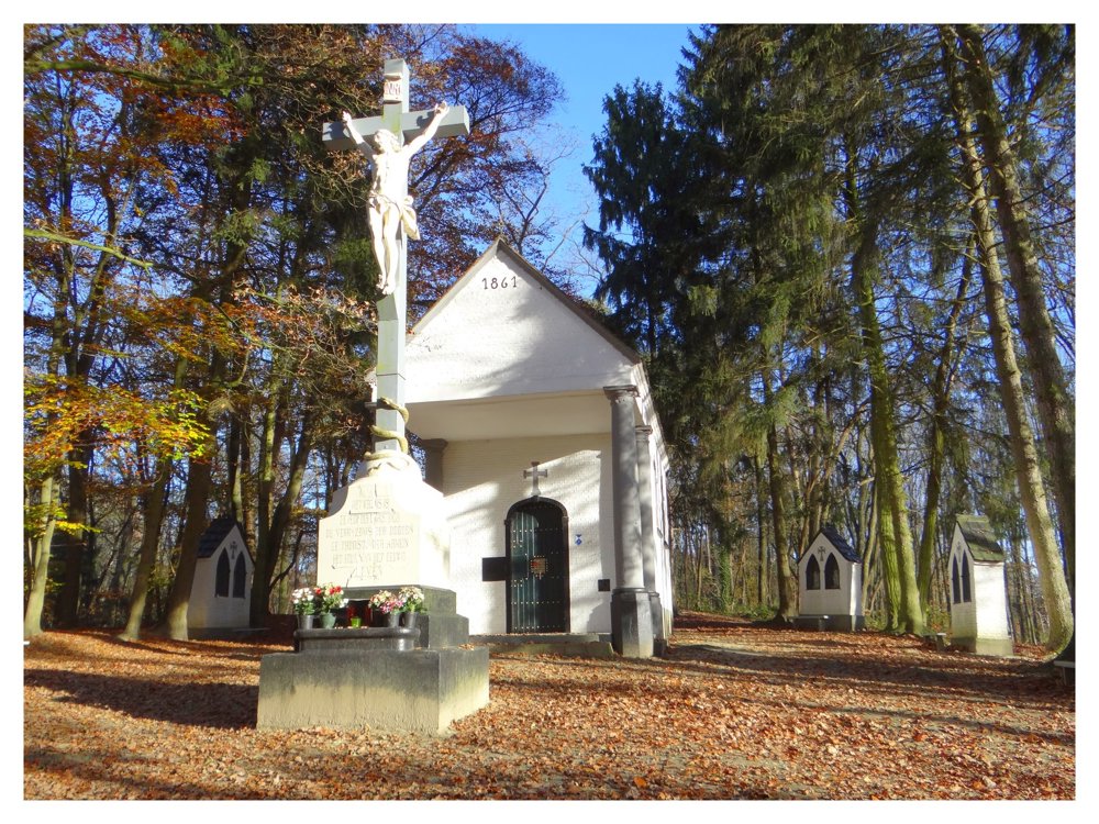
One also passes the Kruiskensberg chapel. This chapel has a story just like other chapels. "Kruiskensberg is a pilgrimage site in Nijlen. An old text recounts that a very sick shepherd drank from a spring around 1260 and was suddenly healed. When this became known, a wooden cross was erected and pilgrims flocked to the site. In the 17th century, five wells were dug as a symbol of the five wounds of Christ. Last century, these wells were built in stone, a chapel was erected, and Lord Florent le Grelle, the lord of the Rameyenhof castle, donated a large iron cross. The major pilgrimage day is Good Friday, when believers still come to do the Way of the Cross from 7 to 12."
More photos: https://photos.app.goo.gl/p8kt4xJYynLs41uV7
Enjoy your walk,
Eddy, Rita, and Prinske
automatic translation
 nodes to follow
0 km
0.4 km
0.6 km
1.4 km
1.7 km
2.5 km
2.8 km
3.2 km
3.5 km
4.2 km
4.3 km
4.9 km
5.7 km
5.7 km
6.2 km
6.2 km
6.2 km
6.8 km
7 km
7.2 km
7.6 km
7.9 km
8.2 km
8.8 km
9.7 km
11 km
11.2 km
11.5 km


 Upgrade to Premium Plus
