 Hiking
 Login
Login More
More EN
EN Premium
Balen: Keiheuvel
automatic translation
13.7 km • Balen
420 0 0/5

 Addresse starting point (approximate)
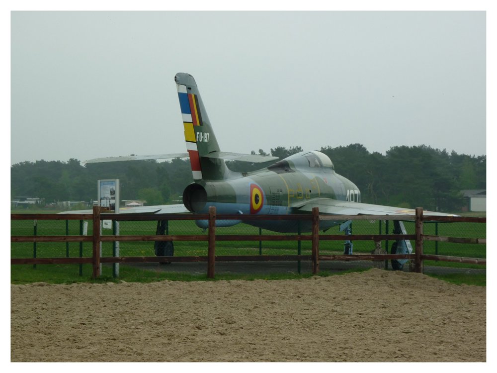
17 Esk. Licht Vliegwezenlaan 14, 2490 Balen, BE
 signage
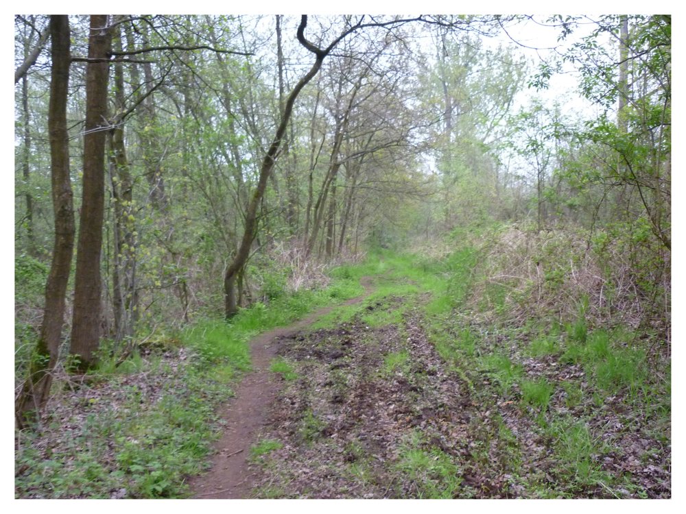
The route is fully signposted with nodes.
 Description
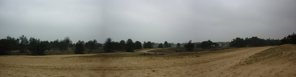
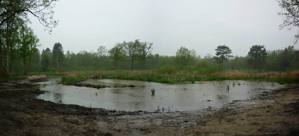
Beautiful, varied walk through the De Most-Keiheuvel nature reserve.
www.natuurenbos.be writes the following about the nature reserve:
"De Most-Keiheuvel is an area of 540 hectares, located along the upper course of the Grote Nete in the municipality of Balen. What is special about this area is the combination of two totally different natural cores that seamlessly connect. De Most is an extremely wet valley area, while the higher Keiheuvel is characterized by dry, open inland dunes. You can find dunes all over Keiheuvel, but the most beautiful part lies behind the airfield. European top nature that everyone can enjoy by walking, cycling, on horseback, and even in a wheelchair (not this walk)."
More photos: https://photos.app.goo.gl/noGL5pt9KVgZ3YfR9
Happy walking,
Eddy, Rita, and Prinske
automatic translation
 nodes to follow
0 km
0.8 km
2.4 km
3 km
4.5 km
5.1 km
6.4 km
7.2 km
8.1 km
8.6 km
9 km
9.3 km
11.1 km
11.5 km
11.9 km
12.2 km
12.9 km
13.2 km
13.7 km


 Upgrade to Premium Plus
