 Hiking
 Login
Login More
More EN
EN Premium
The Hoëgne river: Fagnes on his best
11.3 km • Jalhay
 official route
1.14511 0 0/5
11.3 km
0.0 km
0.0 km
10 km
© OpenStreetMap contributors, Tracestrack
 Addresse starting point (approximate)
Roquez 49, 4845 Jalhay
 signage
The route is signposted with thematic signs (no nodes). You can use a GPS device or our app to follow the route through the virtual nodes.
© WBT - S. Delcourt
 Description
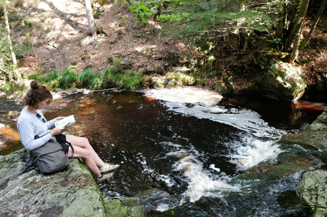
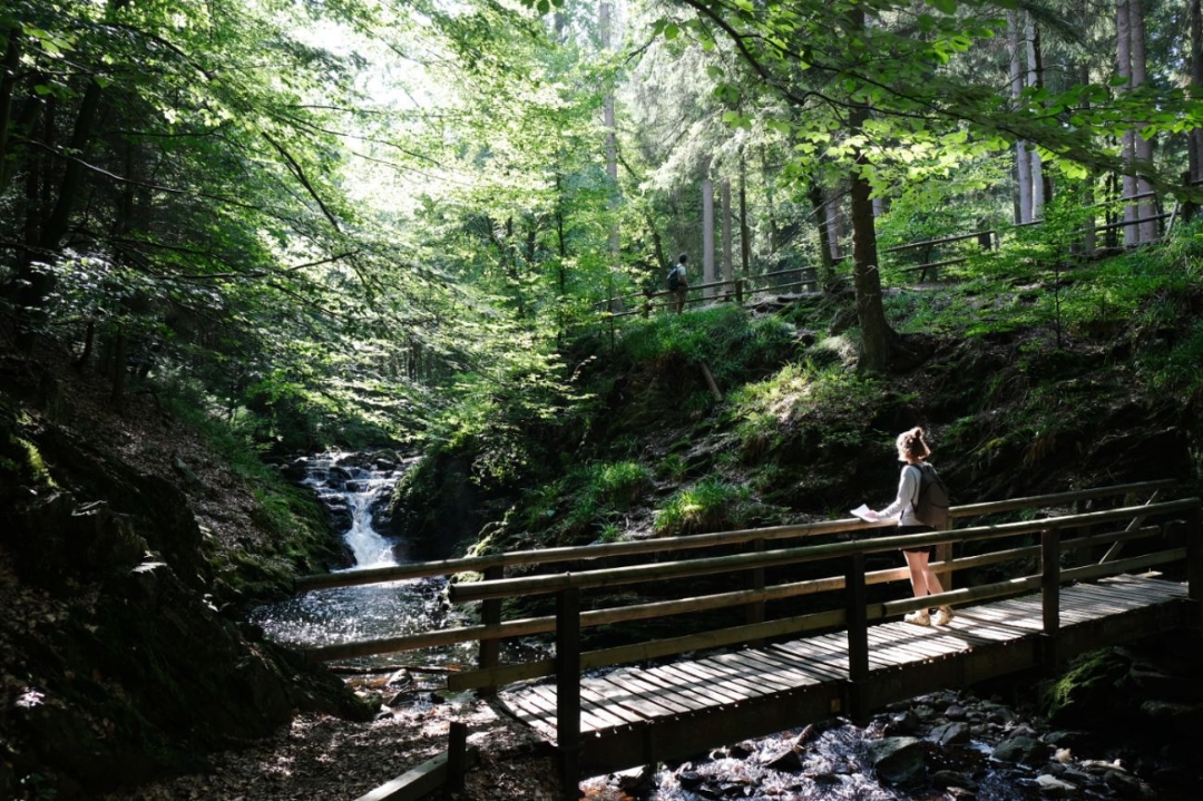
From a little stream in the Fagnes, the Hoëgne river turns into a wild, majestic yet romantic river... as you will discover along this 11 km, signed walk following its fascinating meanders. Enjoy the walk!
 nodes to follow
0 km
1 km
3.6 km
5.9 km
8.3 km
9.2 km
9.6 km
9.7 km
11.2 km


 Upgrade to Premium Plus
