 Hiking
 Login
Login More
More EN
EN Premium
Veldhoven: Toterfout
automatic translation
5.8 km • Veldhoven
2530 0 0/5
5.8 km
0.0 km
0.0 km
10 km
© OpenStreetMap contributors, Tracestrack

 Addresse starting point (approximate)
Toterfout 23, 5507RD Veldhoven, NL
 signage
The route is fully signposted with nodes.
© Eddy & Rita
 Description
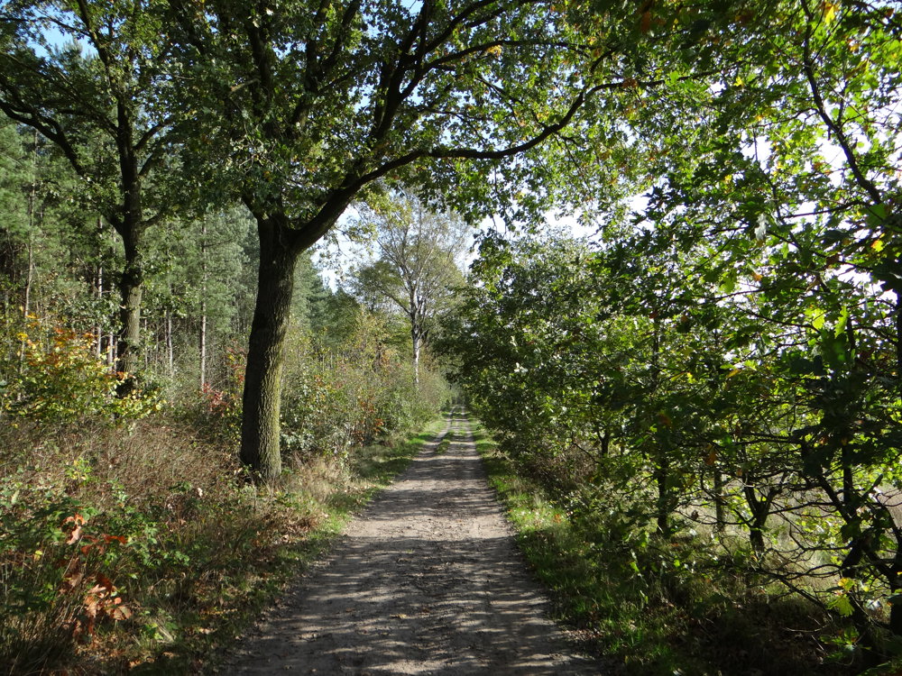
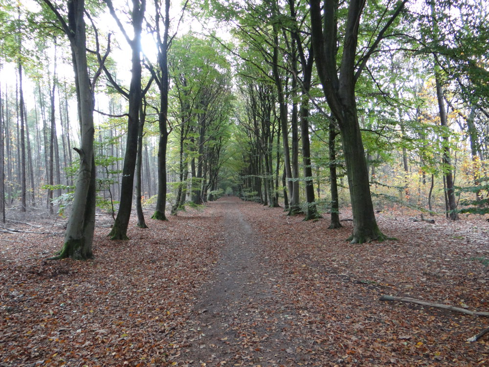
Beautiful junction walk from the Southeast Brabant Walking Route Network.
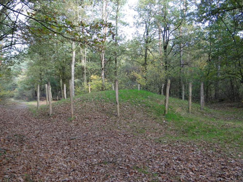
Toterfout is a hamlet in the municipality of Veldhoven, in the Dutch province of North Brabant. It lies one and a half kilometers west of the village of Oerle and mainly consists of farms. In the Halve Mijl forest area, located west of Toterfout, there are sixteen restored burial mounds.
More photos: https://photos.app.goo.gl/0tcJeW1bClNNrY422
Happy walking,
Eddy, Rita, and Prinske
automatic translation
 nodes to follow
0 km
1.3 km
1.9 km
2.9 km
3.3 km
4.2 km
5.8 km


 Upgrade to Premium Plus
