 Hiking
 Login
Login More
More EN
EN Premium
Lille Vorselaar
automatic translation
18.5 km • Lille
3522 0 0/5

 Addresse starting point (approximate)
Helleweg 8, 2275 Lille, BE
 signage
The route is fully signposted with nodes.
 Description
Beautiful walk in the Kempen. The car can be parked at the Balsakker sports center in Lille.
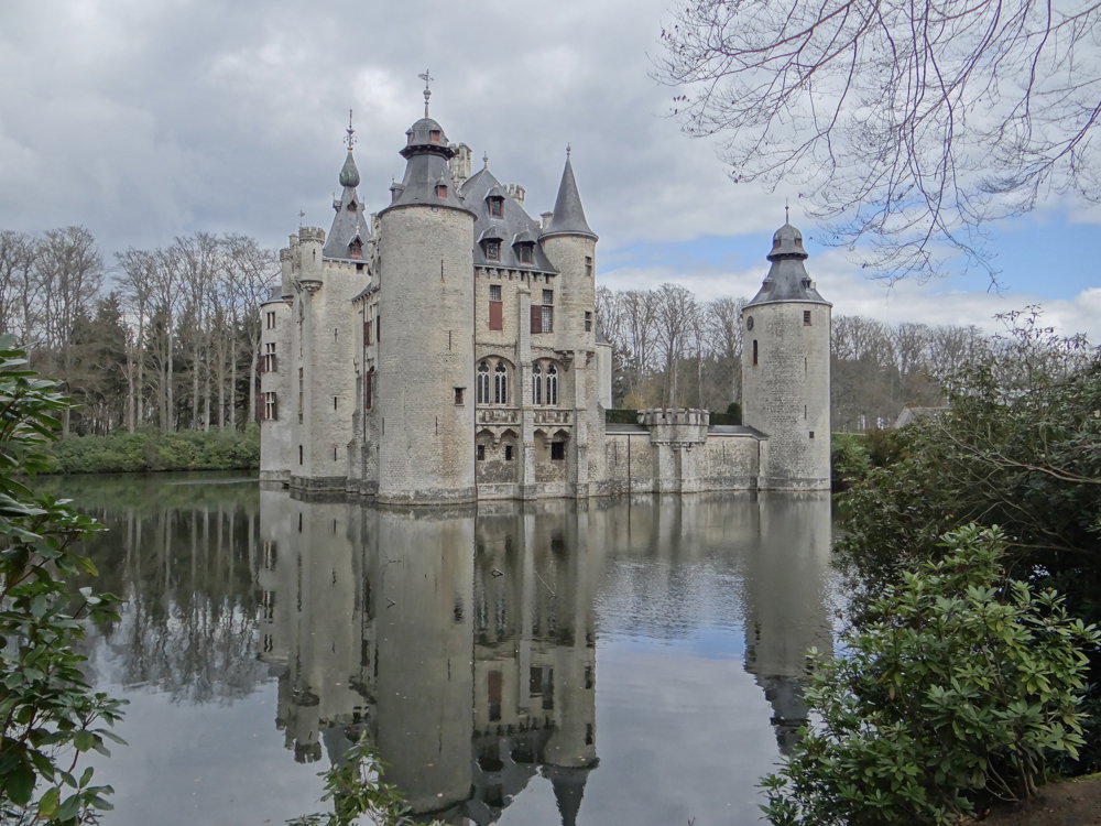
From Lille, one heads towards Vorselaar to walk through the beautiful park of the "Castle of Vorselaar".
"The castle has been the pride of Vorselaar for centuries. Around 1270, the first stone was laid by the knights of Rotselaar. The ground plan has been largely preserved up to today. The castle houses a treasure of history and stories, and has been inhabited by noble families all this time." Source: kasteelvanvorselaar.be
It is a beautiful walk, but we must be honest and mention that along the way, one passes "Moto Cross Lille," which can be quite noisy. We were lucky; there were no activities, so it was quiet.
More photos: https://photos.app.goo.gl/NxZCNkX7TRStDn8y9
Enjoy your walk!
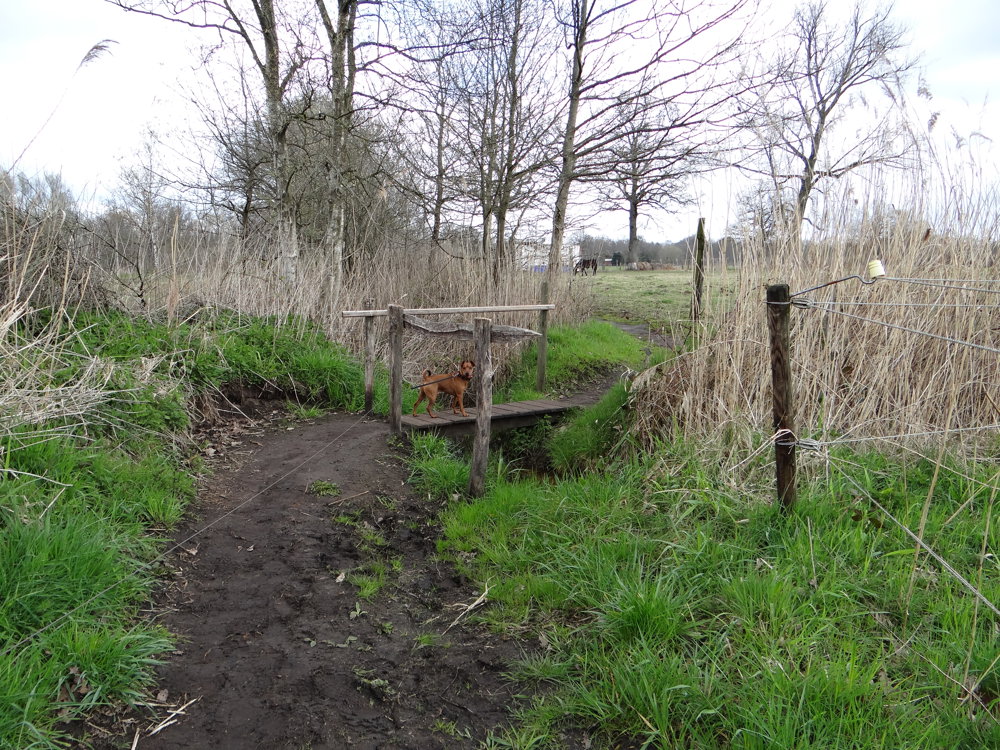
Eddy, Rita and Prins
automatic translation
 nodes to follow
0 km
0.6 km
0.7 km
1 km
1.6 km
2 km
3.1 km
3.8 km
4 km
4.6 km
4.6 km
5.7 km
6.8 km
7.2 km
7.4 km
8.3 km
8.3 km
8.9 km
9.2 km
10 km
10 km
10.6 km
11 km
11.9 km
12.9 km
13.6 km
14.4 km
14.9 km
15 km
15.8 km
16.5 km
17.1 km
17.4 km
17.9 km
18.5 km


 Upgrade to Premium Plus
