 Hiking
 Login
Login More
More EN
EN Premium
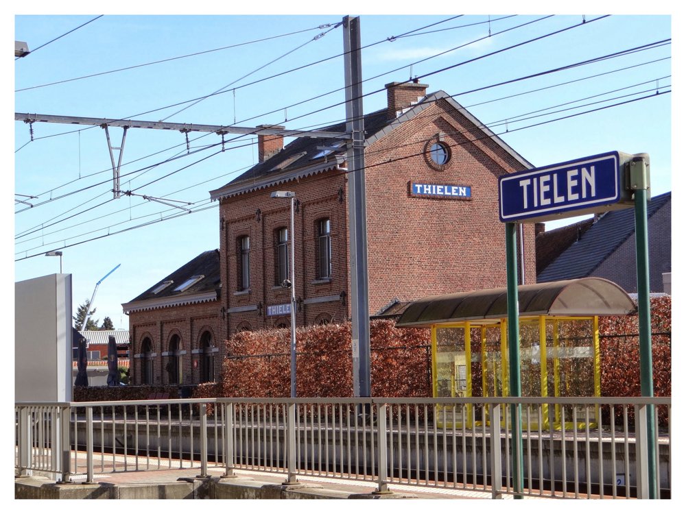
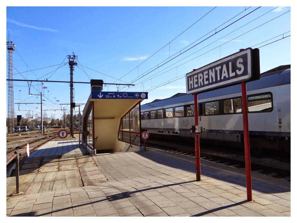
Station Walk Tielen > Herentals
automatic translation
17.7 km • Kasterlee
1660 0 0/5

 Addresse starting point (approximate)
Spoorwegstraat 27, 2460 Kasterlee, BE
 signage
The route is partially signposted with nodes. Use a GPS device or our app to follow the route.
 Description
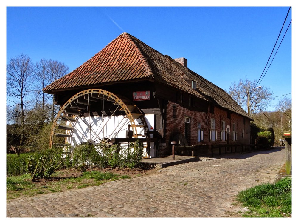
It is a beautiful walk that starts at the station of Tielen. The walk first goes in a northeasterly direction, where we cross the Aa at the beautiful watermill of Tielen. Later, we will follow the Aa twice.
We take a detour in the 'Polderheide' forest of Gierle to pass by the IJssloeberke. It is a vigorous walk, so a few extra calories won't hurt.
After the ice cream, we encounter the Aa further along, which we follow for about 1.3 km. We pass the mouth of the Grote Kaliebeek. And so on, until Herentals.
More photos: https://photos.app.goo.gl/PzafWHjZhjLtabBQ7
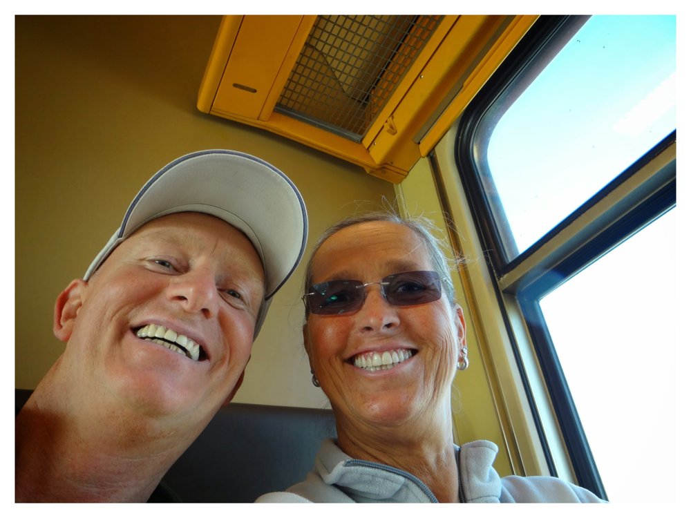
Enjoy this walk,
Eddy, Rita, and Prinske
automatic translation
 nodes to follow
0 km

0.2 km
0.2 km
0.7 km
1.8 km
2 km
2.2 km
3 km
3.1 km
3.2 km
3.4 km
4.1 km
4.9 km
5 km
5.4 km
6.2 km
6.6 km
7.9 km
8.4 km
8.9 km
9.5 km
10.3 km
11.1 km
11.7 km
12.5 km
12.9 km
12.9 km
13.7 km
13.7 km
13.8 km
14.5 km
14.8 km
14.9 km
15.2 km
15.6 km
16.8 km
17.1 km
17.2 km
17.5 km

17.7 km


 Upgrade to Premium Plus
