 Hiking
 Login
Login More
More EN
EN Premium
All shades of green of Herentals-North
automatic translation
12.4 km • Herentals
2452 2 4.8/5

 Addresse starting point (approximate)
Vorselaarsebaan 50, 2200 Herentals, BE
 signage
The route is fully signposted with nodes.
 Description
Park at Netepark.
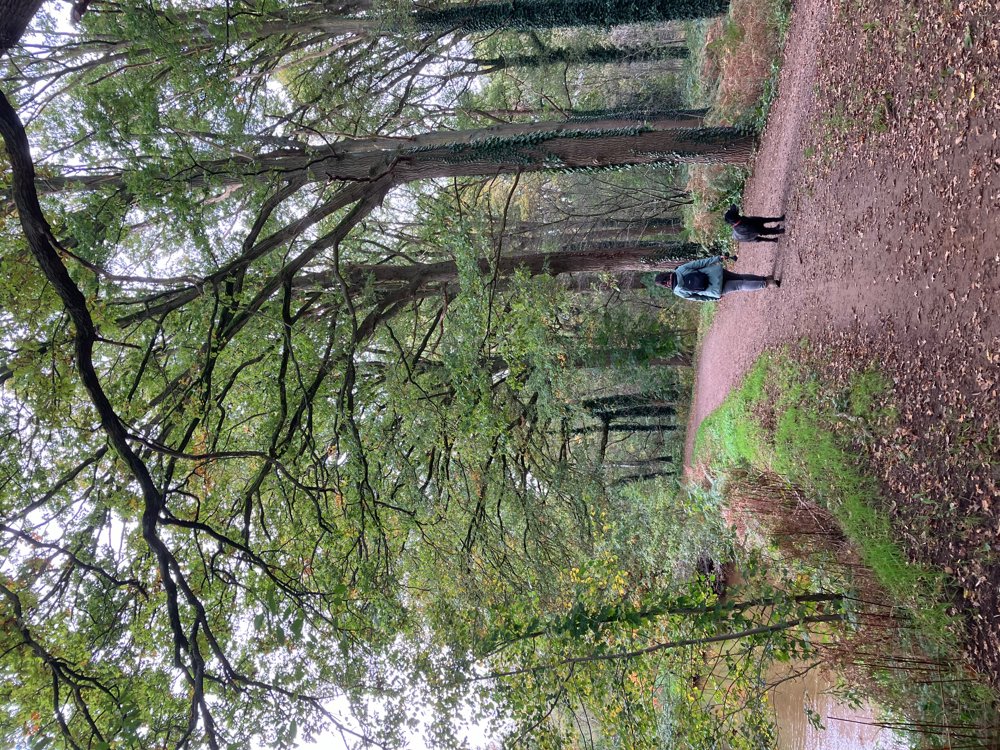
You start along the banks of the Kleine Nete and continue your way through the surrounding deciduous forests with several open areas. In autumn, mushrooms are very numerous and diverse here.
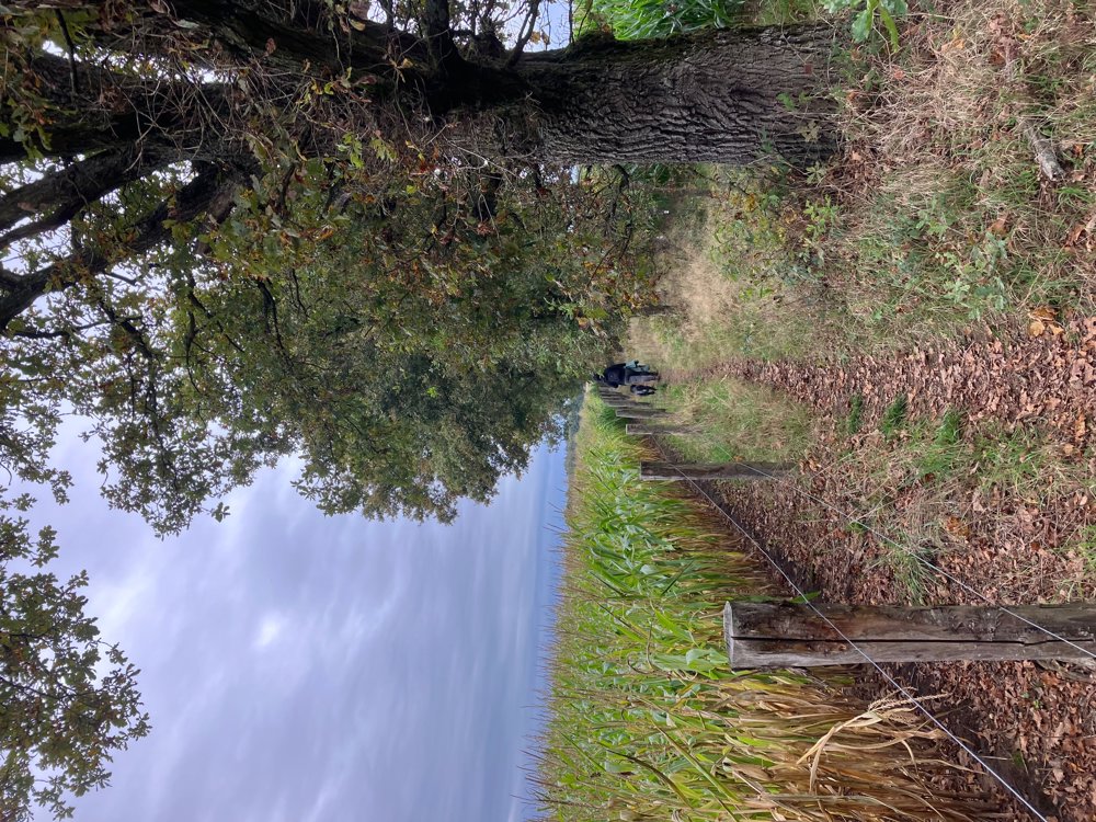
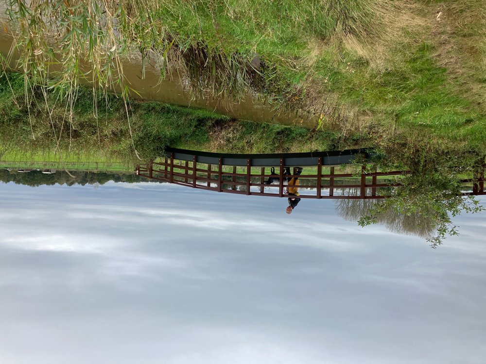
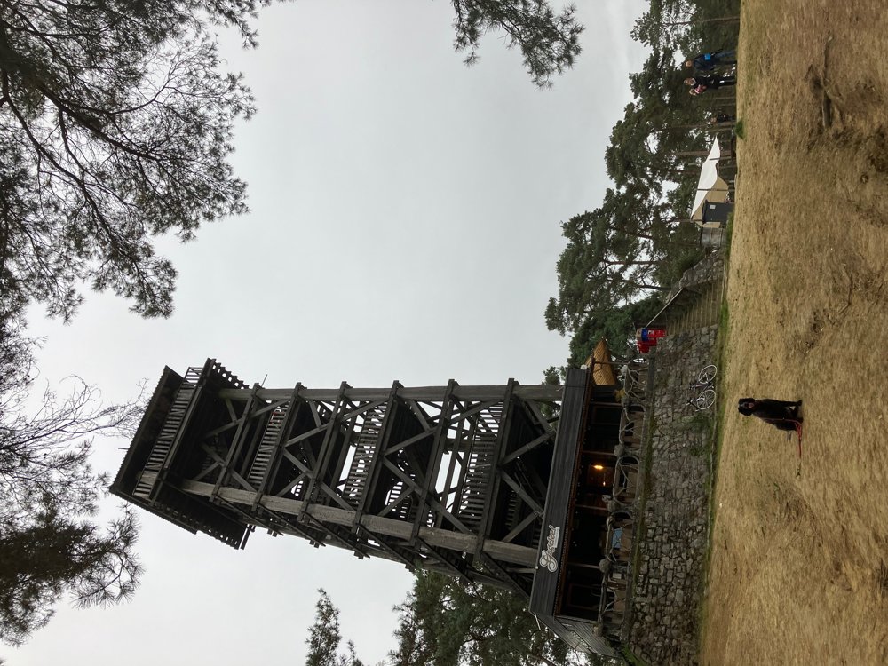
From dry banks to muddy forest paths, field roads, farm roads, sand hills... everything will be encountered. The vegetation changes from deciduous to coniferous forest, passes open fields, meadows, quiet roads, field edges... So, lots of variety during this walk. You even pass an idyllic little bridge over the Aa or can search for an elevated viewpoint over the Kempense Heuvelrug.
This "Toeristentoren" is also the only refreshment stop along the way, located at junction 10 not far from the end. In this sandy natural area, you can easily extend your walk, include a play break for the children in the designated areas, or take an ancient Stations of the Cross.
High walking boots are recommended, and dogs are welcome on a leash.
automatic translation
 nodes to follow
0 km
0.8 km
0.9 km
1.8 km
2.2 km
3.4 km
3.5 km
4.8 km
4.9 km
5.9 km
6.6 km
6.8 km
6.9 km
7.4 km
7.7 km
8.1 km
8.6 km
8.6 km
9.4 km
9.4 km
9.5 km
10.2 km
10.5 km
10.6 km
10.9 km
11.3 km
12.4 km


 Upgrade to Premium Plus
