Loading...

Beerse: The Blak

automatic translation

8.9 km • Beerse

5470 1 3.5/5

8.9 km 0.0 km 0.0 km
10 km
© OpenStreetMap contributors, Tracestrack

route offered by

Eddy & Rita

Icon starting point Addresse starting point (approximate)

Rijkevorselseweg 1, 2340 Beerse, BE

Icon type signage of route signage

The route is fully signposted with nodes.

23.7 m 32.3 m 36 m 26.4 m These values indicate respectively the number of meters to rise, the highest and the lowest point in meters.
Atmosphere image 1 of route Beerse: The Blak Atmosphere image 2 of route Beerse: The Blak Atmosphere image 3 of route Beerse: The Blak
© Eddy & Rita

Icon description route Description

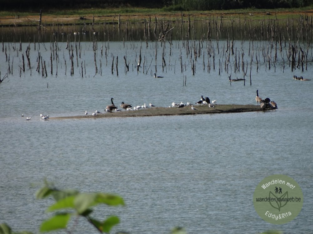
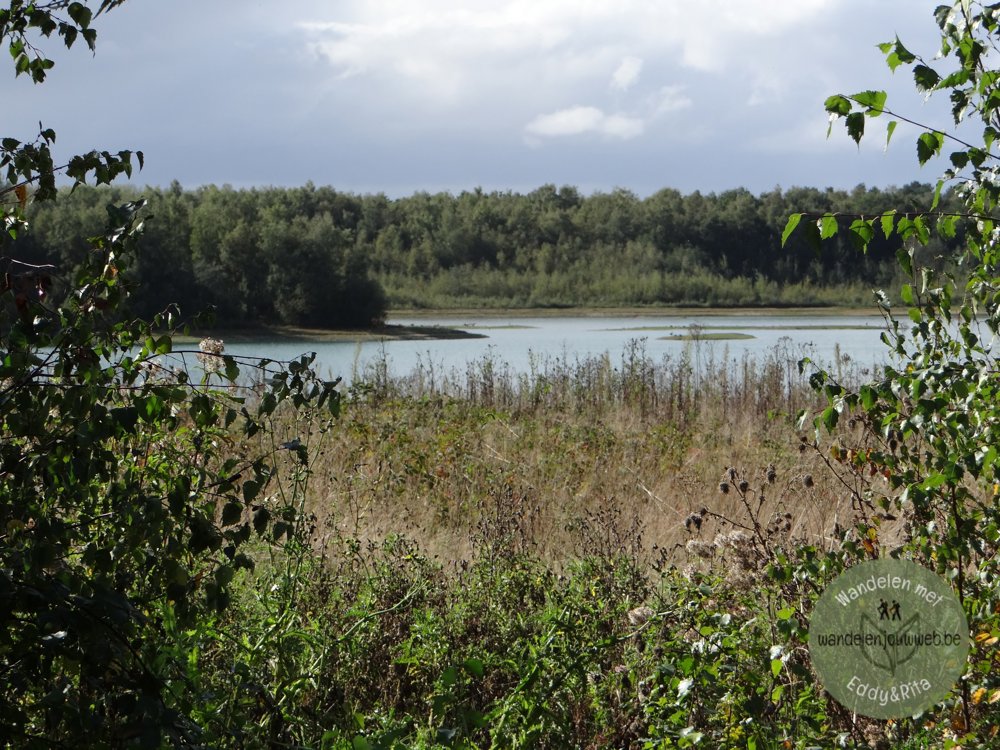
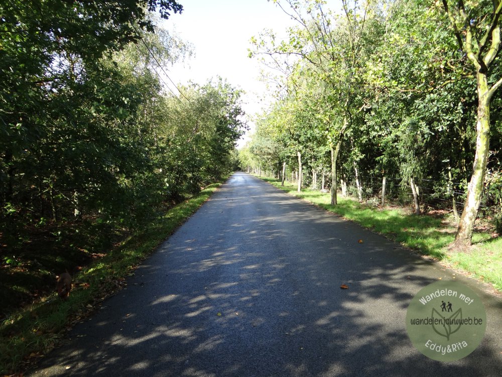
A beautiful walk that goes through the nature reserve 'Het Blak'.

Further, it goes through the nature reserve 'Abtsheide'. WARNING, due to grazing, DOGS ARE NOT allowed in the nature reserve between March 15 and November 15.

We walked the route counter-clockwise and got the last 2.5 km along the 'Dessel-Turnhout-Schoten' canal under our feet. Due to the industry on both sides of the canal, this last part was quite disappointing.

More photos: https://photos.app.goo.gl/tccPh72Zz6uMJZDf6

Enjoy this walk, Eddy, Rita and Prinske

automatic translation

Icon nodes to follow nodes to follow

Image node 63
0 km
Image node 91
1 km
Image node 90
1.8 km
Image node 98
2.3 km
Image node 96
2.7 km
Image node 95
3.3 km
Image node 93
3.6 km
Image node 93
3.8 km
Image node 21
4.2 km
Image node TP
4.6 km
Image node 20
5.6 km
Image node 92
5.6 km
Image node 20
5.6 km
Image node 84
6.3 km
Image node 63
8.9 km
This route has 1 review(s).
Rate route!

Tuesday, February 18, 2025 by N.S.nice route, sorry about the last part next to the canal
automatic translation

Sunday, April 13, 2025 by Eddy & RitaThank you for this response!
automatic translation

Which POI do you want to show on the map?

Experimental hiking network
Unsigned icon

The route you have chosen runs (partly) along an experimental virtual hiking node network (the blue-coloured nodes and sections on the map).

You must be logged in to plan routes here.

Experimental hiking network
Unsigned icon

The route you have chosen runs (partly) along an experimental virtual hiking node network (the blue-coloured nodes and sections on the map).

These routes are not controlled in the field. Before you start hiking here, take a minute to read what an experimental hiking node network is and what rules you should follow when hiking here.

By clicking 'Accept all cookies,' you agree to the use of cookies for an enhanced user experience, website traffic analysis, and personalized advertisements. Cookie policy