 Hiking
 Login
Login More
More EN
EN Premium
Ouren: ascents and descents
automatic translation
12.8 km • Burg-Reuland
360 0 0/5

 Addresse starting point (approximate)
Peterskirchen 28, 4790, BE
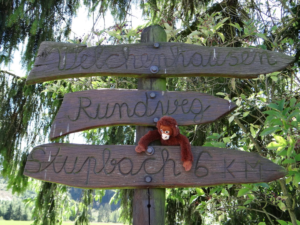
 signage
The route is partially signposted with nodes. Use a GPS device or our app to follow the route.
 Description
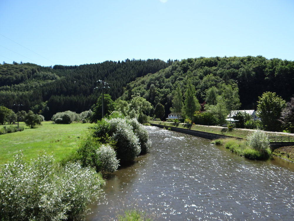
We parked the car in Peterskirchen in the spacious parking lot at the St. Peterskirche.
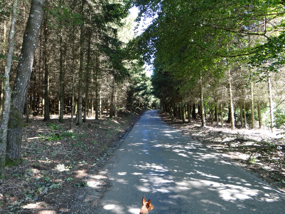
For the walk, we descended to the Our River to cross it and follow a small but beautiful path along the bank. Then begins a steep climb through the forest and open field.
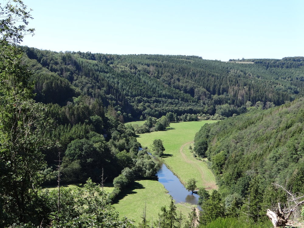
Over a distance of 4.5 km, you climb from 328 meters to a height of 530 meters above sea level. Meanwhile, you can fully enjoy the beautiful views you get to see for the rest of the walk.
There are a few more small climbs, but they are quite manageable. To complete the loop, you descend back to Ouren, where you are once again treated to stunning views over the Our Valley. It's simply endless.
One last small climb to the parking lot at the church in Peterskirchen.
More photos: https://photos.app.goo.gl/5Rddu54MdzSuLH6LA
Enjoy this beautiful walk,
Eddy, Rita, and Prinske
automatic translation
 nodes to follow
0 km

0.1 km
0.3 km
2 km
4.9 km
6 km
6.9 km
7.4 km
8.7 km
9 km
9.8 km
11.4 km
12.6 km

12.7 km


 Upgrade to Premium Plus
