 Hiking
 Login
Login More
More EN
EN Premium
Meerhout: GR 561 Kempen-Meuse Path
automatic translation
6.8 km • Meerhout
1121 0 0/5

 Addresse starting point (approximate)
Speeltuinstraat 3, 2450 Meerhout, BE
 signage
The route is fully signposted with nodes.
 Description
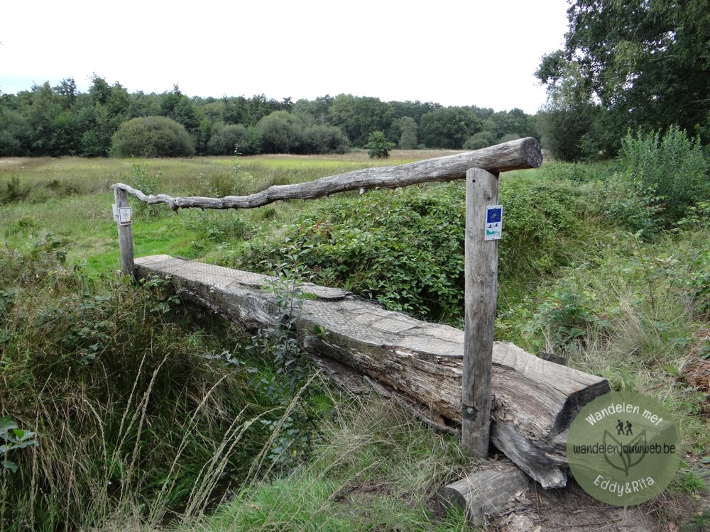
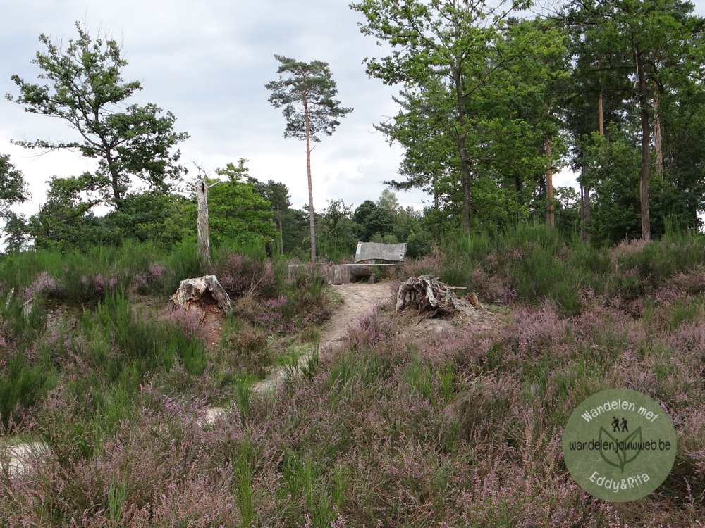
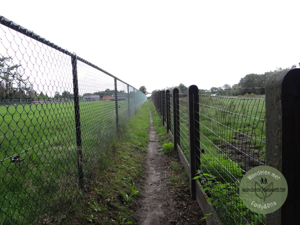
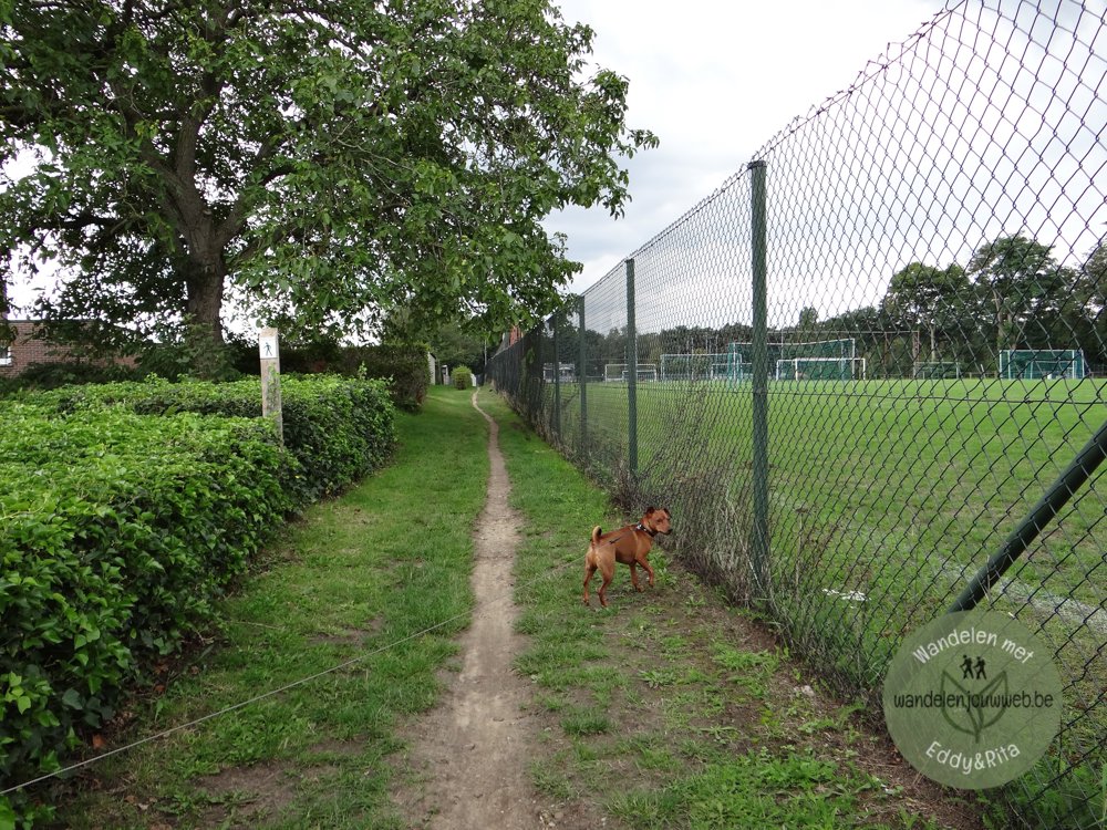
Beautiful nature walk that starts at the sports center of Meerhout.
It goes through the 'Engstraat area'. The area is a green zone between the center of Meerhout and Zittaart. In the larger environment, there are other forest complexes, such as Geel-Bel, Scherpenbergen-De Hutten, the forests of Eindhout, and so on.
There are various recreational facilities in and around the area. Through the Engstraat area runs the recreational bicycle route network and the Drossaard walking path. The walking junction network is also well represented. This walk follows a section of the beautiful GR 561 Kempen-Maaspad.
More photos: https://photos.app.goo.gl/ZRCQs12JTEA9A8eo9
Enjoy your walk!
Eddy, Rita, and Prinske
automatic translation
 nodes to follow
0 km
0.4 km
0.7 km
1.4 km
2 km
2.2 km
2.5 km
2.7 km
3 km
3.1 km
3.6 km
3.8 km
4.1 km
4.9 km
5.3 km
5.6 km
6.4 km
6.8 km


 Upgrade to Premium Plus
