 Hiking
 Login
Login More
More EN
EN Premium
Han-Sur-Lesse: one of our first hikes
automatic translation
26.3 km • Rochefort
2070 0 0/5
26.3 km
0.0 km
0.0 km
10 km
© OpenStreetMap contributors, Tracestrack

 Addresse starting point (approximate)
Rue Des Collires 3, 5580, BE
 signage
The route is not signposted. Use a GPS device or our app to follow the route.
© Eddy & Rita
 Description
This is one of the first walks we did. We didn't have a GPS yet, and mapping the route still held many secrets for us back then.
The track has been cleaned up and follows the virtual junction network for the most part.
Enjoy this walk,
Eddy, Rita, and Prinske (who wasn't there yet).
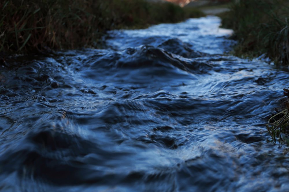
We also didn't have a camera back then. The free photo is from Pixabay and is not of the river La Lesse.
automatic translation
 nodes to follow
0 km
0.4 km
0.6 km
1.7 km
2.5 km
2.8 km
4.7 km
5.1 km
5.7 km
5.7 km
8.1 km
8.5 km
9.2 km
9.4 km

10.6 km
11.1 km
11.4 km
13.6 km
14.2 km
14.6 km
16.3 km
18.1 km
19.2 km
20 km
22.6 km
23.5 km
26.3 km


 Upgrade to Premium Plus
