Loading...

Petite-Somme (Radhadesh)

automatic translation

8.9 km • Durbuy

5100 0 0/5

8.9 km 0.0 km 0.0 km
10 km
© OpenStreetMap contributors, Tracestrack

route offered by

Eddy & Rita

Icon starting point Addresse starting point (approximate)

Petite Somme 2, 6940, BE

Icon type signage of route signage

The route is not signposted. Use a GPS device or our app to follow the route.

168 m 146.1 m 338.9 m 175.6 m These values indicate respectively the number of meters to rise, the highest and the lowest point in meters.
Atmosphere image 1 of route Petite-Somme (Radhadesh) Atmosphere image 2 of route Petite-Somme (Radhadesh) Atmosphere image 3 of route Petite-Somme (Radhadesh)
© Eddy & Rita

Icon description route Description

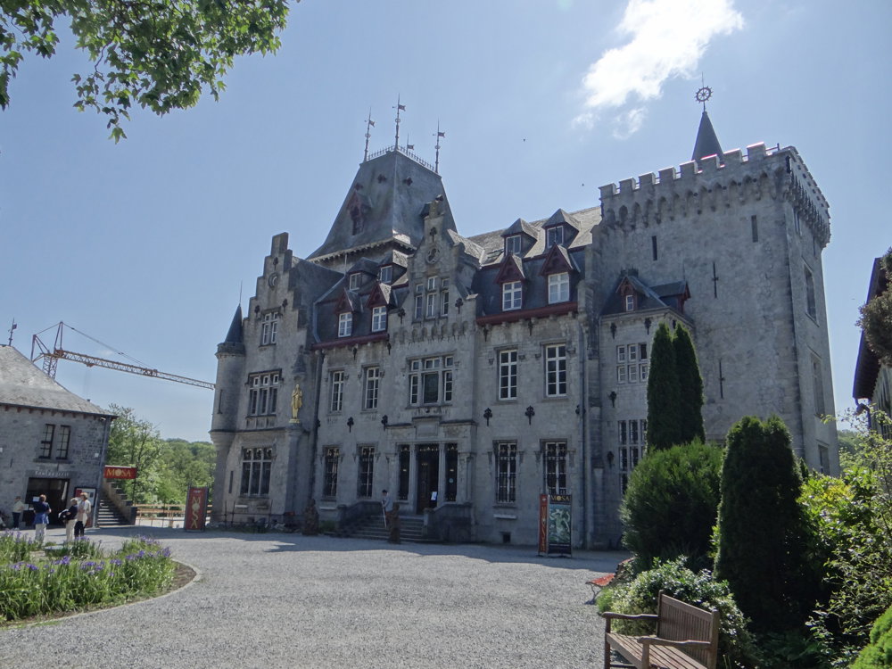
In the past, we visited the castle (Radhadesh Château de Petite-Somme) several times during a guided tour. The castle has been beautifully restored by the members of the International Society for Krishna Consciousness (ISKCON). A visit is definitely worth it.

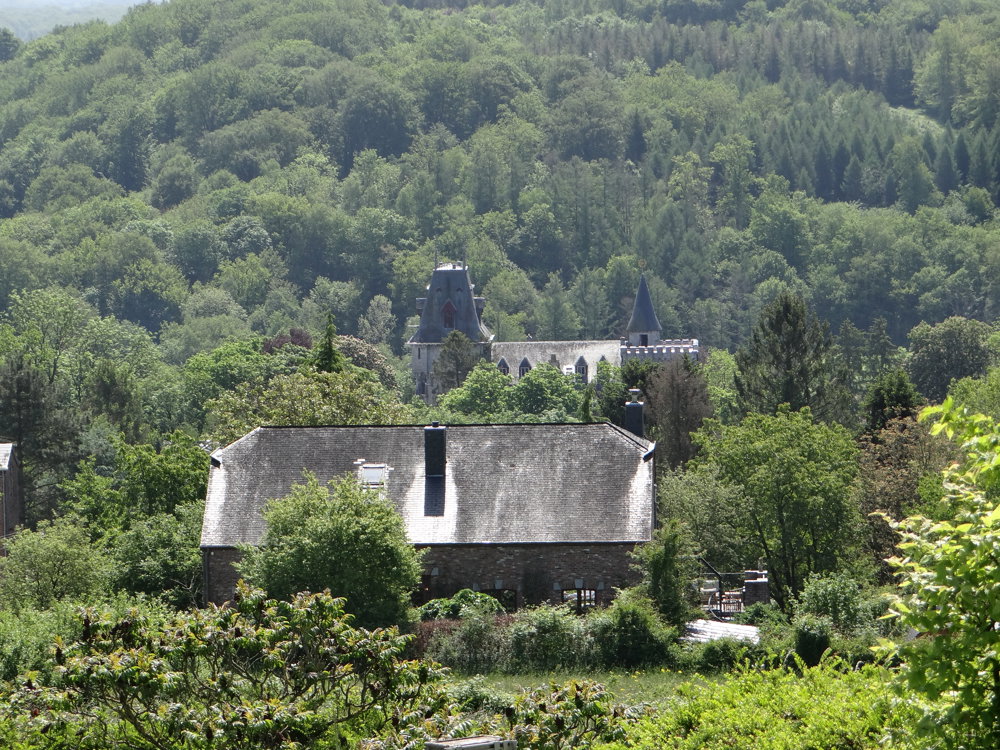
This time, we were not there for a visit, but for a walk in the surroundings of the castle. Parking is available at the chapel Saint-Étienne. To our knowledge, apart from a short meditative walk, there is no official walk starting from Petite-Somme. We crafted one ourselves using cycling routes and some local walks further away.

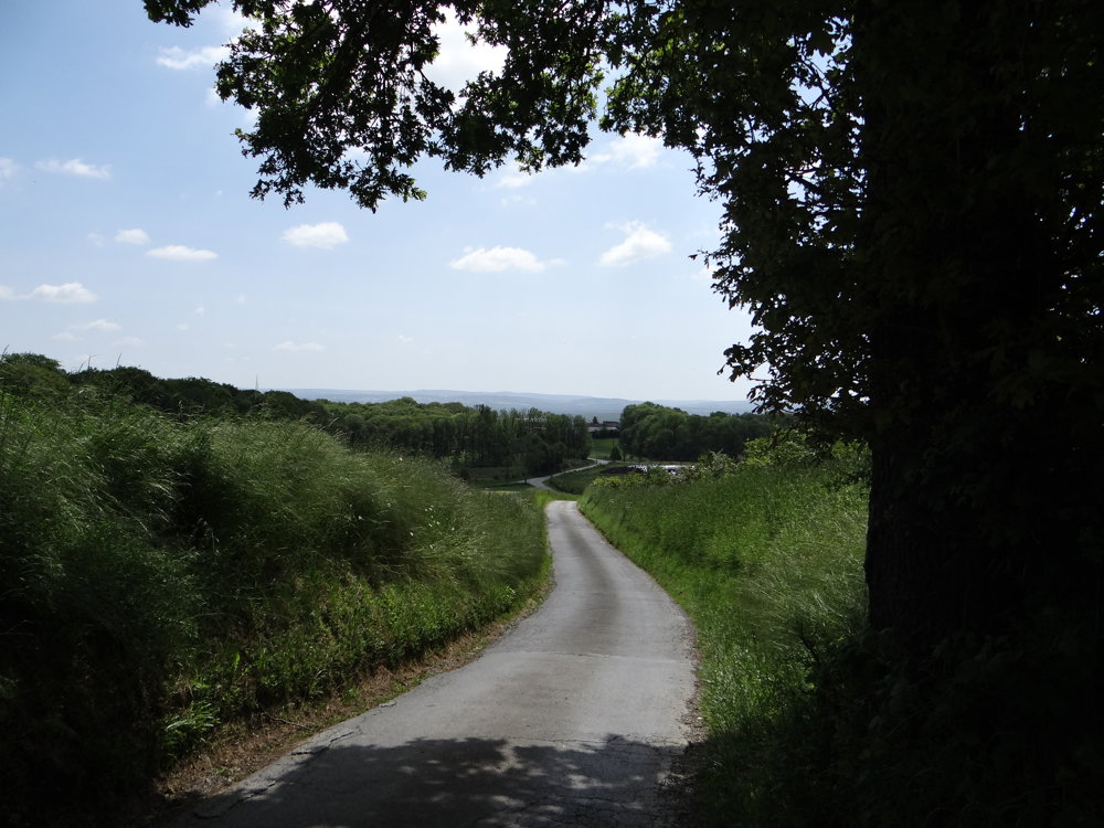
We walked the loop clockwise, taking us through the Domaine de Bellevue via a steep ascent on a paved road to the monument Plaine Sapin. Once at the top, you get a great view of the surroundings.

More photos: https://photos.app.goo.gl/UUTXhp8CHF1G5c3T7
Enjoy this walk,
Eddy, Rita, and Prinske

automatic translation

Icon nodes to follow nodes to follow

Icon start route
0 km
Icon deviation route
0.6 km
Icon deviation route
1 km
Icon deviation route
1.3 km
Image node 667
1.5 km
Image node 775
2.7 km
Image node 666
4.1 km
Image node 188
4.7 km
Image node 592
4.9 km
Image node 150
6.8 km
Icon deviation route
7.1 km
Icon deviation route
7.4 km
Image node TP
8.9 km
This route does not have any reviews yet. Be the first!
Rate route!

Which POI do you want to show on the map?

Experimental hiking network
Unsigned icon

The route you have chosen runs (partly) along an experimental virtual hiking node network (the blue-coloured nodes and sections on the map).

You must be logged in to plan routes here.

Experimental hiking network
Unsigned icon

The route you have chosen runs (partly) along an experimental virtual hiking node network (the blue-coloured nodes and sections on the map).

These routes are not controlled in the field. Before you start hiking here, take a minute to read what an experimental hiking node network is and what rules you should follow when hiking here.

By clicking 'Accept all cookies,' you agree to the use of cookies for an enhanced user experience, website traffic analysis, and personalized advertisements. Cookie policy